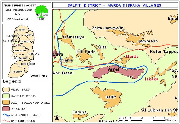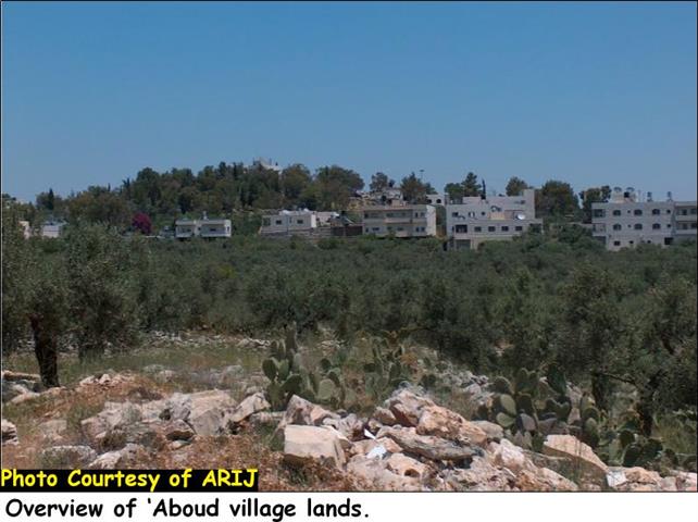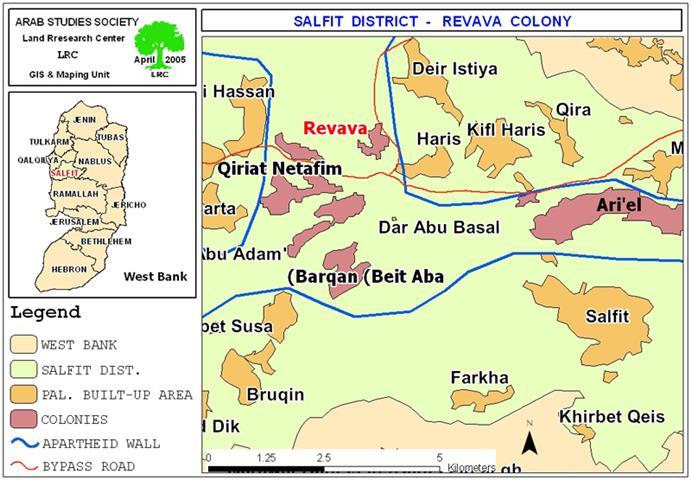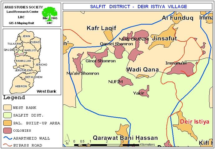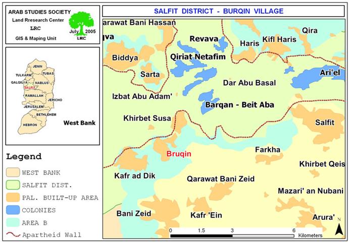
Bruqin’s people and nature are hit by pollution coming from neighboring Israeli Settlements
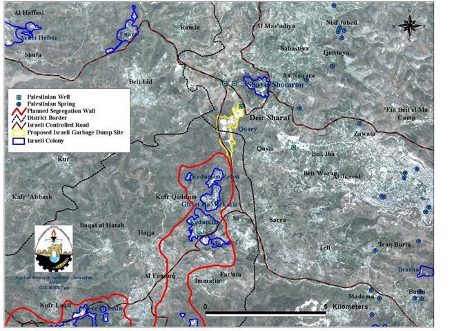
Location and population The village of Bruqin is located 12 km to the southwest of Salfit city, in the northern West Bank. The village houses a population of ...
Read moreDetails