The Tulkarem district was among the first districts targeted by the Israeli Segregation Wall plan that started in 2002. So far, about 42000 dunums of fertile agricultural lands have been destroyed, confiscated or segregated by the construction of the Wall in this district. The targeted land is considered amongst the most fertile in the West Bank where it served as the food basket for Palestinians in Tulkarem and elsewhere. The Israeli policy of acquisition and forceful seizure of Palestinian natural resources in this district has led, among other violations, to the total confiscation of many artisan wells, the uprooting of thousands of fruitful trees of various species and the destruction of green houses.
On the other hand, dozens of Palestinian houses were wiped out to make room for the construction of the Wall in place, and many other houses were also removed from the vicinity of the Wall.
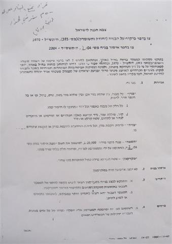
On December 18th, 2004, the Israeli army distributed new military orders stating the confiscation of more Palestinian lands to create a new security zone to the east of the Wall at width of 500 meters, extending from the village of Aqaba in the north to the village of Al Kafriyat in the south (27 km long by 0.5 km wide strip of land -13.5 km2 -). The military orders prohibited Palestinians from using the land for any purpose under the pretext of security reasons.
Picture 1- A copy of the Israeli military order
This latest Israeli measure proves with no doubt that the real goal behind building the Wall hasn't been security, as the Israeli occupation authorities claim, rather, it has been to confiscate as much vacant lands as possible from Palestinians; thus, diminishing the possibility of a viable Palestinian state. This, also, proves that the Wall doesn't represent fixed borders to Israel, as some people say, instead, it serves as a tool for gradual annexation of Palestinian lands under the pretext of security.

Map 1- The newly announced military ( security ) zone along the eastern side of the Wall in Tulkarem district in shaded blue color
The following recent violations were documented by LRC field workers in the Tulkarem district:
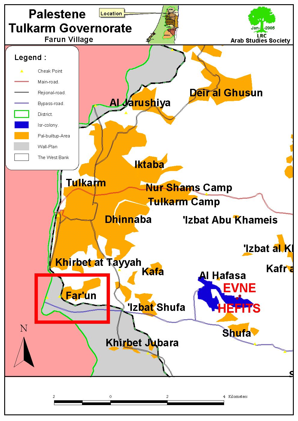
1- On October 15, 2004, the Israeli occupation forces confiscated 21 dunums of Faro'un village lands for military purposes and for building a tunnel for exclusive Jewish use as part of the Israeli Segregation plan. So far, 11 tunnels of this type have been constructed in the northern parts of the West Bank. The targeted lands are located near Al Kafriyat permanent checkpoint in the southeastern parts of the village, parcels number 8473 and 8474. Actual works in the tunnel already started on December 12.2004. The lands are owned by Mr. Mohammed Mahmud Ibrahim, Mr. Hassan Budeir and Mr. Khalil Hamdan.

Map 2- Location of Faro'un village
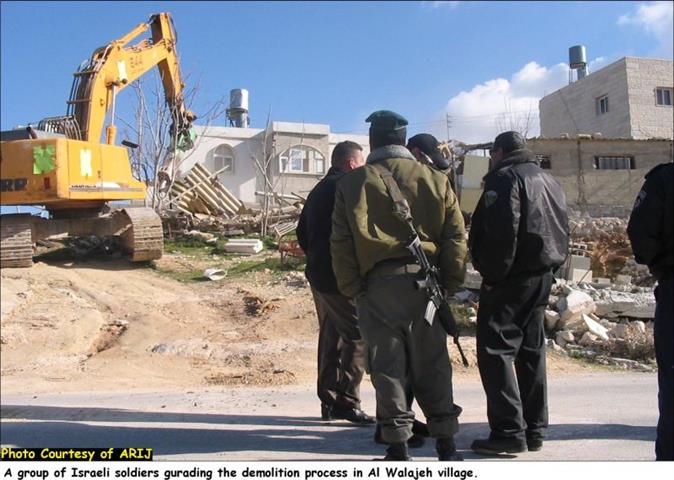
In addition, two houses were demolished and 10 others are awaiting demolition in Faro'un village under the pretext of their location close to the Wall path. The owners of these houses had appealed against the demolition orders, but no avail.
2- On November 18, 2004 the Israeli army erected a new watch tower on agricultural lands located in the western side of Shufa village.
Map 3- Location of Shufa village.
On the other hands, the Israeli bulldozers started on December 20, 2004 devastating Palestinian agricultural lands in the southwestern parts of Shufa village, aiming at constructing roads and tunnels for the service of Israeli settlers in the area.


Pictures 2 & 3 – Shufa- Tulkarem: Plastic houses destroyed by Israeli army bulldozers. Photo courtesy of LRC

Picture 4- Shufa- Tulkarem: Some of the uprooted olive trees have been relocated and replanted by Palestinian farmers. Photo courtesy of LRC
Prepared by
The Land Research Center
LRC


