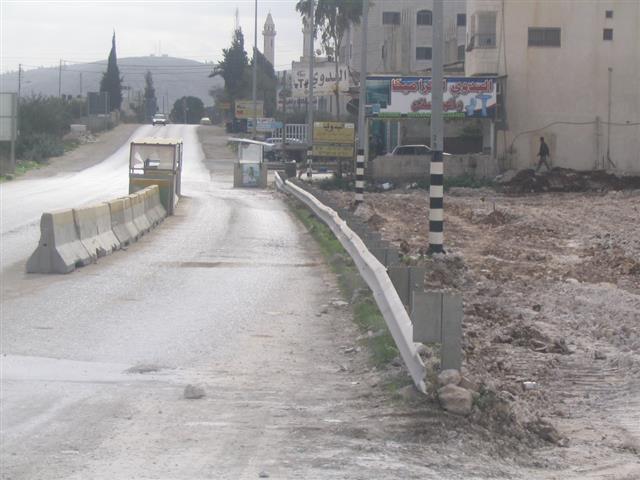
The Israeli occupation forces started to enlarge the Yizhar checkpoint, Nablus governorate, by confiscating and bulldozing about 20 dunums of land in its vicinity. The undergoing expansion encompasses the addition of more military watch towers, fences, cameras and other security equipment under the pretext of safeguarding Israeli settlers, particularity those who live in Yizhar and Bracha colonies.
(Photo 1 & Photo 2: expansion works to the right hand side of road 60 )
The Yizhar checkpoint is located on the main road number 60 linking between Nablus and Ramallah. It was set up at the outbreak of the current uprising in the year 2000 at the road junction leading to the colony of Yizhar to the west of road 60.
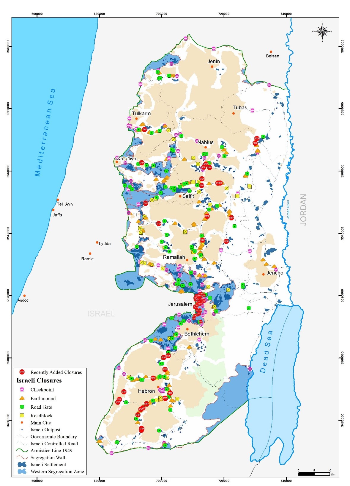
In addition to Yizhar checkpoint there are another two checkpoints on this vital artery road, which are: Hawara checkpoints at the distance of 2 km to the north of Yizhar; and, Za'tara ( Tapouh) checkpoint at the distance of about 6 km to the south of Yizhar.
The Yizhar checkpoint has badly affected the Palestinian movement in the area and further complicated the economic, social, educational and even health situations of the local people as it hinders and obstructs the movement of employees, workers, students and sick people in and out of Nablus governorate. Also, it has contributed towards the concentration and consolidation of the Israeli military grip and occupation over that area.
Introduction to Israeli colonies in the area
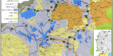
The colony of Yizhar was founded in the year 1983 over the lands of Palestinian farmers from the villages of Burin and Asira Al Qibliay to the south west of the city of Nablus. Ever since, it has horizontally and gradually expanded over dozens of dunums from the neighboring villages of Orif, Madama and Hawwara. By the end of 2005, Yizhar municipal boundaries were 1223 dunums of which 269 dunums as built up area (source: Foundation for Middle East Peace- Washington). See Map 1
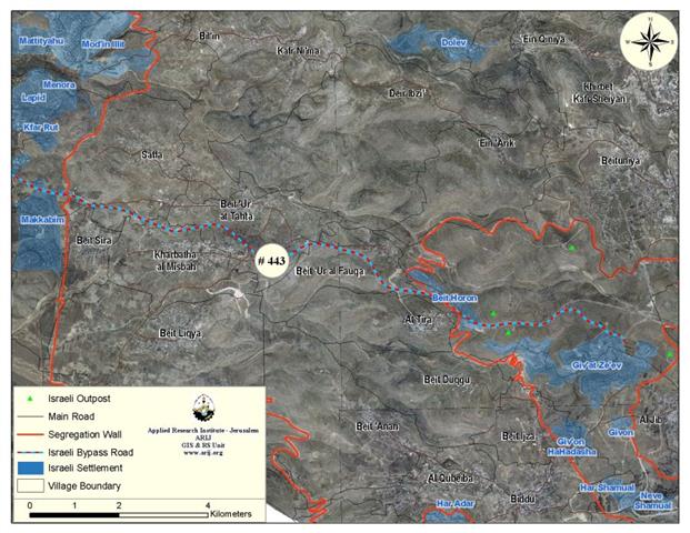
The colony is located in basin number 8, namely in the areas of Al Marj, Jabel an Nada and at the top of the mountain adjacent to Salman Al Farisi hill top. Salman Al Farisi is a companion of prophet Mohammed and the hill top was named after him. See Photo 3
Table 1: Gradual increase of Yizhar setters by year
|
Year |
No. of settlers |
|
1983 |
64 |
|
1998 |
291 |
|
2004 |
534 |
|
2005 |
590 |
Yizhar is connected with other colonies:
As a means of facilitating Yizhar settlers' movement, tightening grip over Palestinian land and natural resources and facilitating provision of services the colony was linked to road No. 60 passing by the northern edge of the colony to serve two goals:
1. Connecting it with road No. 57 and 557 that lead to the colonies of Itimar, Bracha and Allon More to the north east of Yizhar in the main heartland mountainous region of the West Bank;
2. Connecting it with the Israeli proper passing by the cluster of Kaddumim colonies and Shave Shomron at the western slopes of the West Bank.
Table 1 : Israeli colonies in Nablus governorate
|
No. |
Colony name |
Date of Est. |
2005 population |
Built up and Municipal Area Dunum |
Distance from green line Km |
Principal Palestinian nearby locality |
|
1 |
Elon Moreh |
1979 |
1212 |
2419 |
22 |
Deir al Hatab, Salim and Azmut |
|
2 |
Yzihar |
1983 |
590 |
1492 |
16 |
Burin, Madama & Asira al Qibliya |
|
3 |
Bracha |
1982 |
1094 |
520 |
23.2 |
Burin & Kafr Qalil |
|
4 |
Shavei Shomron |
1977 |
606 |
936 |
13.3 |
Deir Sharaf & Sabastiya |
|
5 |
Itamar |
1984 |
651 |
7189 |
28 |
Yanun, 'Awarta, Rujib & Beit Furik |
|
6 |
Mekhora |
1973 |
120 |
682 |
26.4 |
Beit Furik |
|
7 |
Ma'ale Efrayim |
1970 |
1423 |
4778 |
34.4 |
Majdal Bani Fadel |
|
8 |
Gittit |
1973 |
191 |
1720 |
37 |
'Aqraba 7 Majdal Bani Fadel |
|
9 |
Kfar Tapuach |
1978 |
648 |
570 |
24 |
Yasuf |
|
10 |
Migdalim |
1984 |
150 |
361 |
32.7 |
Qusra & Jurish |
|
11 |
Hamra |
1971 |
132 |
3879 |
22.5 |
Beit Dajan |
|
12 |
Eli |
1984 |
2420 |
3206 |
23.5 |
As Sawiya |
|
13 |
Shilo |
1979 |
1945 |
3758 |
27.1 |
Turmus'ayya |
|
14 |
Rehalim Shilo |
1991 |
50 |
4.14 |
20 |
Yitma |
|
Total |
11232 |
31514.14 |
350.1 |
|
||
Source: Field Work and GIS unit at LRC
Foundation For Middle East Peace-Washington
Table 2: Total land area under Israeli control so far Nablus district
|
Item |
Area km2 |
Percentage to total district area |
|
Colonies (built up & municipal areas ) |
31.5 |
3.6 |
|
Outposts |
20 |
2.2 |
|
Military camps (only built up area) |
1.4 |
0.16 |
|
Bypass roads |
6.4 |
0.74 |
|
Total land area |
59.3 |
6.7 |
Sources:- Field Work and GIS unit at LRC- Foundation for Middle
East Peace-Washington
Huwwara checkpoint expanded:
Last September, the Israeli occupation authorities expanded the Huwwara checkpoint at the expense of 12 dunums of Palestinian near by Burin village's land. The latest expansion works included the addition of passage lanes, surveillance cameras and a parking lot for back to back transfer of commodities. See Photo 4 & Photo 5
Prepared by
The Land Research Center – Jerusalem
LRC


