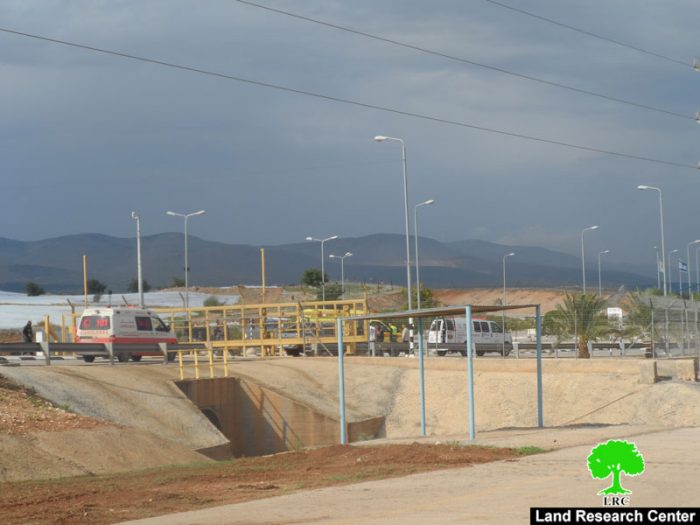
- Violation: land grab order
- Location: Bardala village nearby Bisan military checkpoint
- Date: January 31, 2017
- Perpetrators: Israeli Occupation Forces
- Victims: six Palestinian families
Details:
The commander of Israeli army in West Bank issued on January 31, 2017 the military order no. T\150\08 stating land grab on 41.5 dunums from Bardala village; more specifically nearby Bisan military checkpoint from the southern side. Noteworthy, the targeted location is exactly founded on the sides of the bypass road no. 90.
According to the field visits at the attack location, the targeted lands were confiscated in 2008 in the aftermath of expansion activities o Bisan checkpoint. Noteworthy, this is the fourth time the grab get extended.
It should be noted that the confiscation order mentioned that the targeted area totals 36.88 dunums but according to the map attached to the order, the area came out to be 41.5 dunums.
Photos 2-3: the land grab order
A map illustrating the confiscation location
The targeted land belong to the following people:
- Nimir Sawafta : parcel number 8
- Sami Tamimi: parcel number 8
- Rasheed Sawafta: parcel number 21
- Mustafa Sawafta: parcel number 21
- Rateb Sawafta: parcel number 7
- Saleh Sawafta: parcel number 4
- All parcels are located within the natural block no. 132
Bisan military checkpoint:
It was established in 2002 on lands from Bardala village within a plan to build the apartheid wall in the area at time. The checkpoint specializes in exchanging agricultural goods between the West Bank and the occupied territories of 1948. Also, colonists use the checkpoint to travel from and to the areas of the West Bank.
Prepared by
The Land Research Center
LRC


