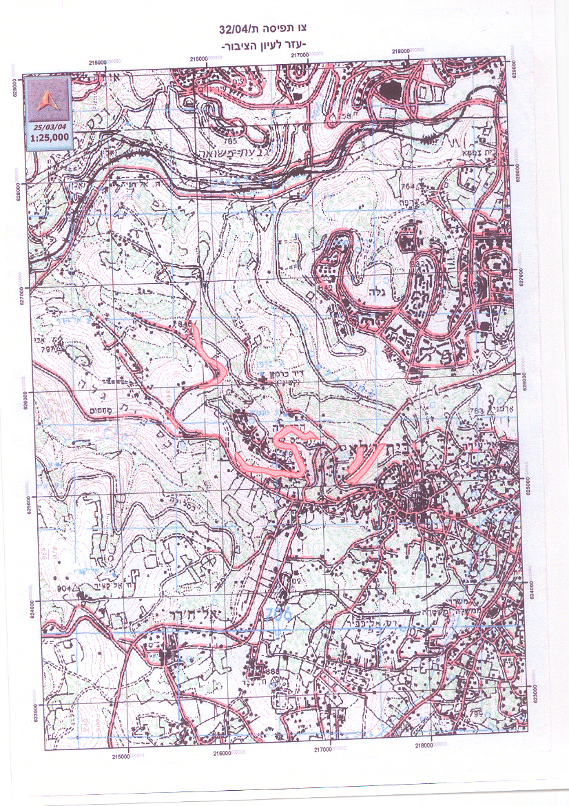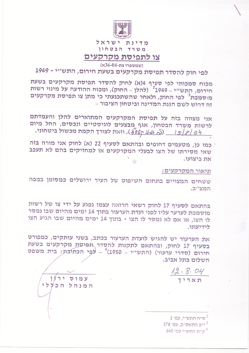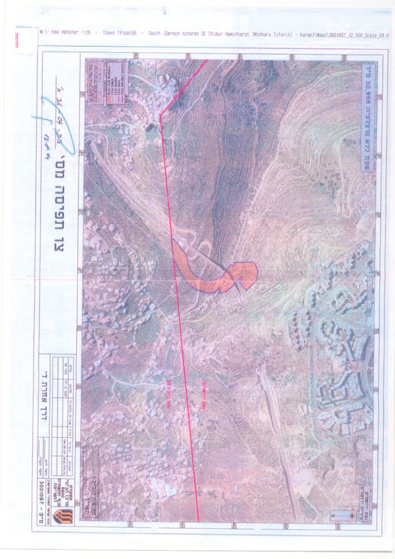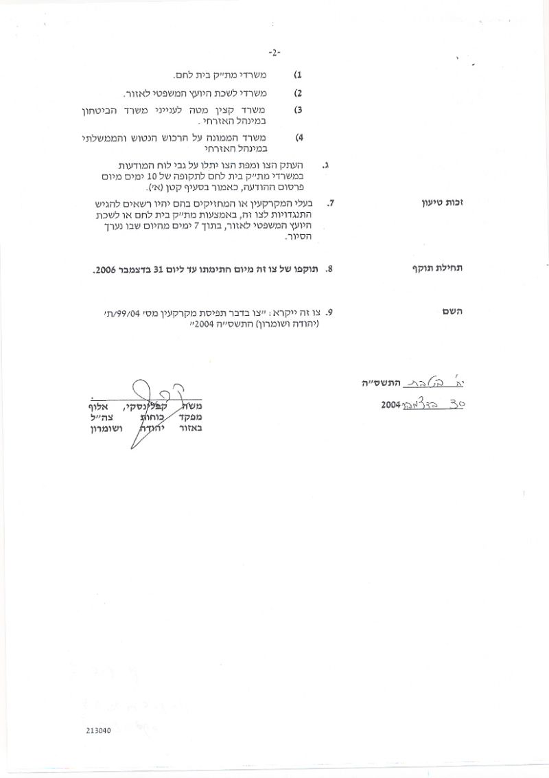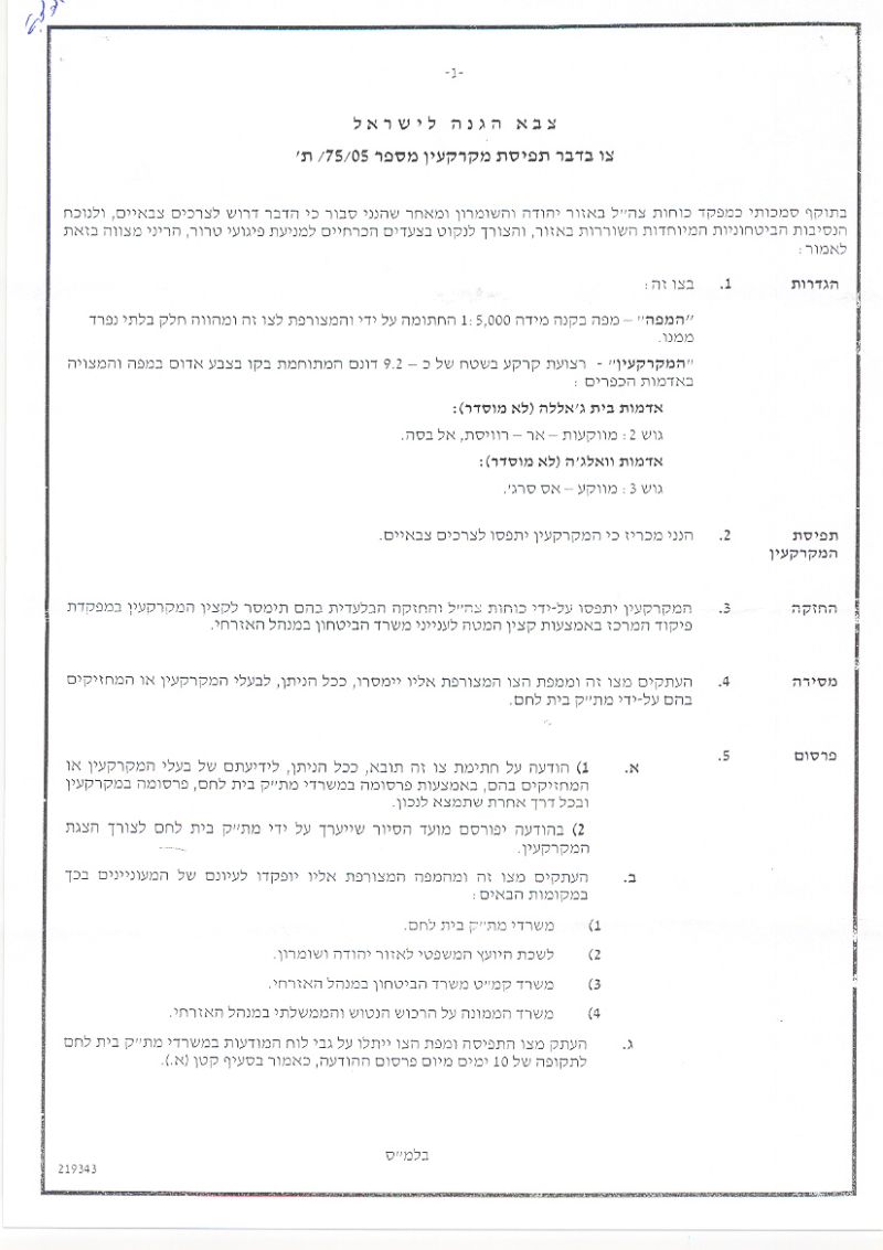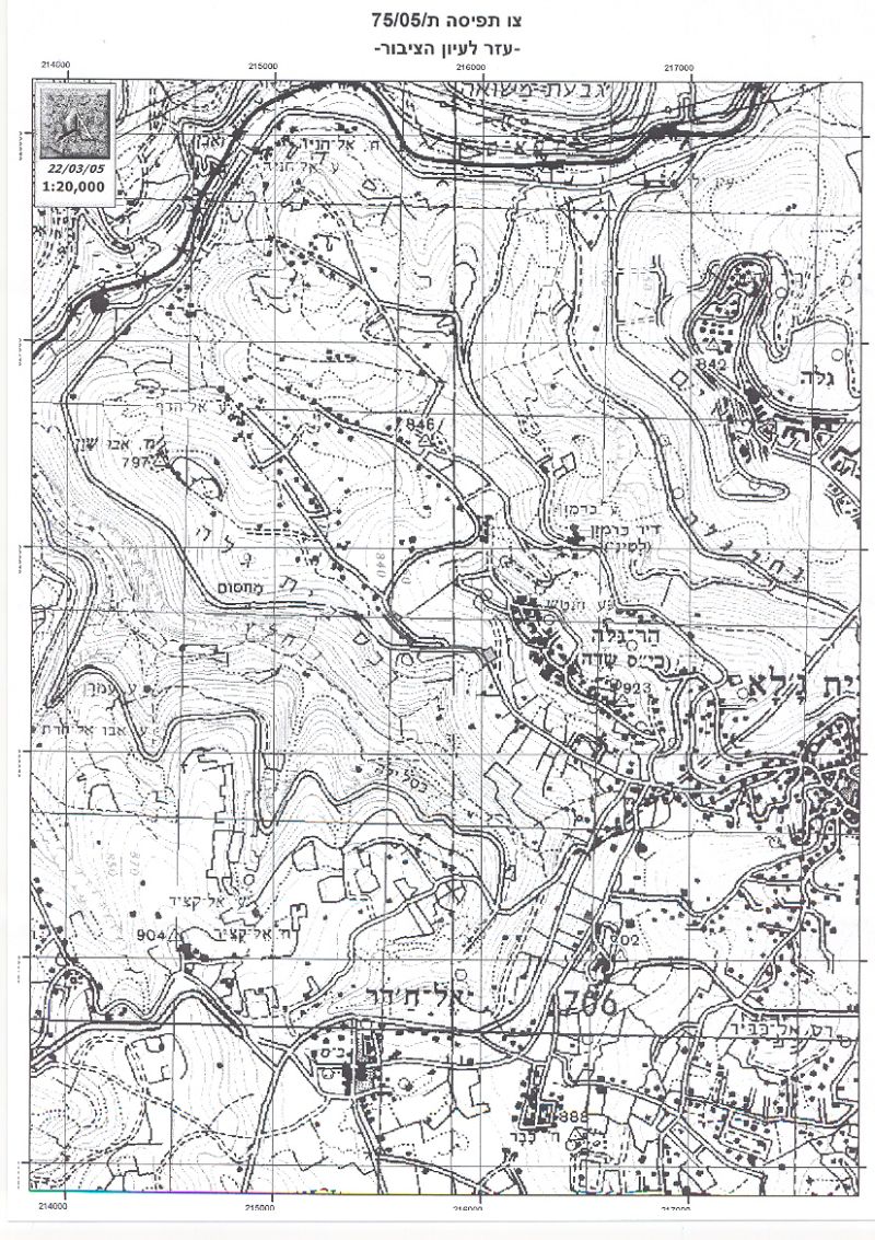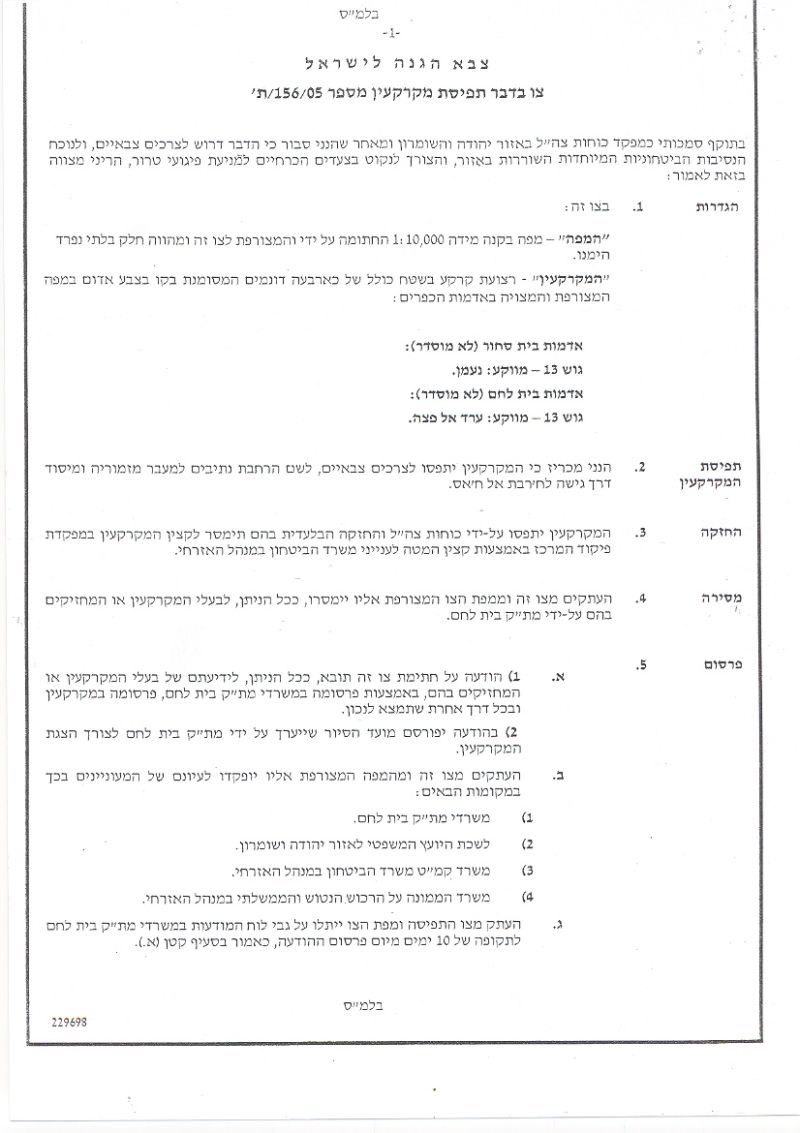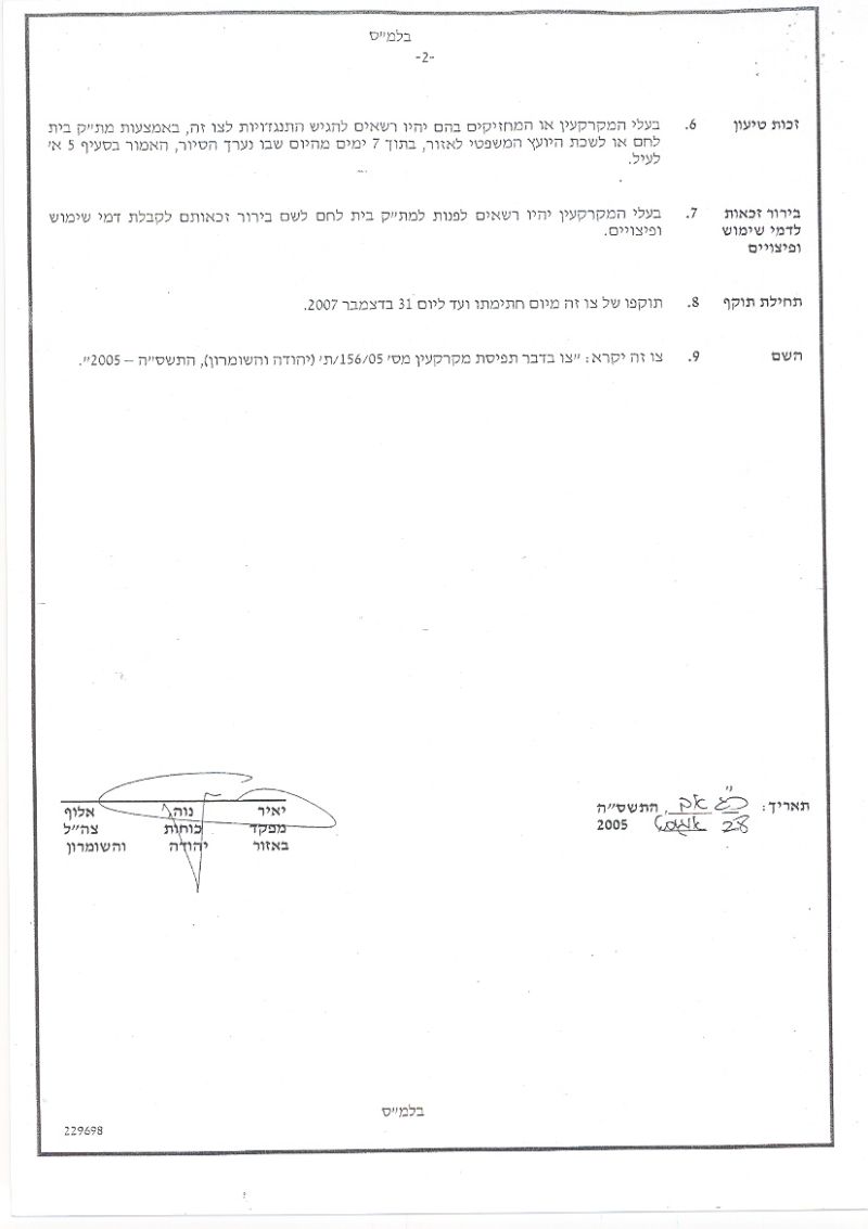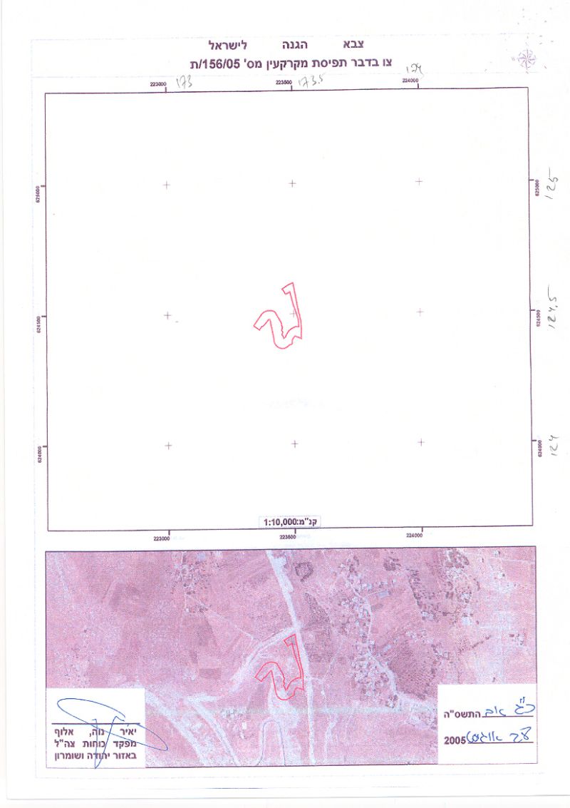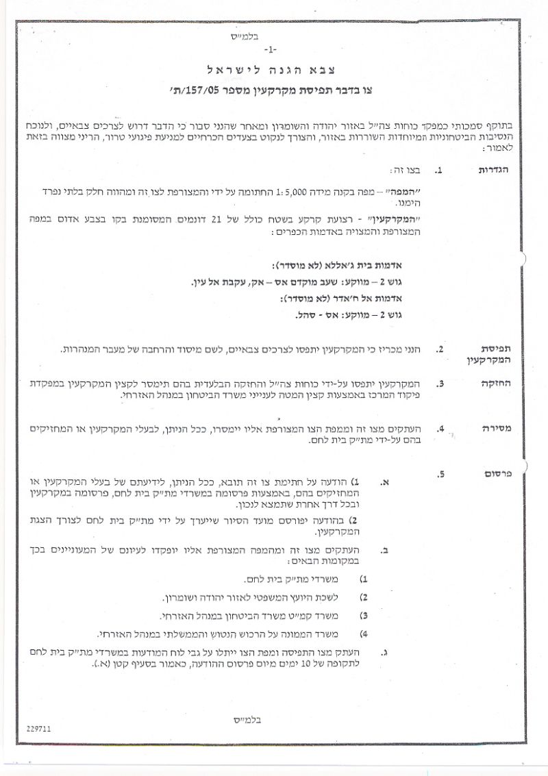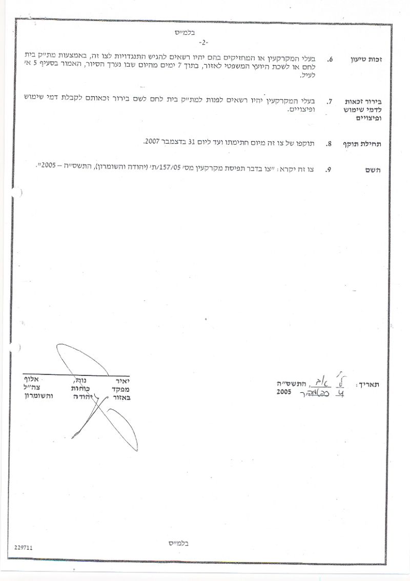
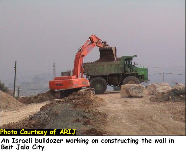
The Israeli Army issued an amendment to a previously issued military order to confiscate lands in order to build sections of the Segregation Wall in Beit Jala and several other new military orders to build additional sections of the Segregation Wall in Beit Jala, Al-Khader and several other localities south of Bethlehem district. The new orders came to complete sections to previous military orders for the same purpose issued earlier this year as a part of its comprehensive plans to seal and separate the Palestinian towns and cities into ghettos. The issued orders came to corroborate the map revealed by the Israeli Army on February 20, 2005 illustrating the route of Segregation Wall in Bethlehem district and to correlate previous military orders issued in that area, along Beit Jala's northwestern and western area and west of Al-Khader town.
Beit Jala,
This developing city (population 16183 – PCBS) is located 1 Km west of Bethlehem and 8 Km southwest of Jerusalem at an altitude of 650 – 930m above sea level. It lies on slopes of hills covered with olive trees, vineyards and apricots, which made it an attractive target to implement the Israeli colonization plan who built there two of what considered pioneer settlements in occupied West Bank; Gilo settlement; established in 1971 (estimated area today 2730 Dunums) and Har Gilo settlement; established in 1972 (estimated area today 414 Dunums). These settlements along with other areas dominated by Israel following 1967 (areas declared unilaterally by Israel as part of the new Israeli Jerusalem municipal boundary) cost Beit Jala to lose 22% (3,147 Dunums) out of its total pre 1967 area which is 14,337 Dunums.
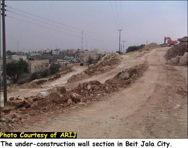
Today, Beit Jala faces a grave danger that may very much compromise the town's endurance, the Israeli Segregation Wall. Beit Jala had its first encounter with the Segregation Wall back in November 2002 when the Israeli Army installed 1.1 Km of the so-called security fence along the town's northern parts; (Aida camp at the town's northeastern parts along bypass road 60 penetrating Beit Jala's lands); including fully armed; cylinder shape watchtower. It was not until July 2003 that the Israeli Army issued the first military order with relation to the Segregation Wall route set to detach Beit Jala's residents from their lands. Many other Israeli military orders followed during the months and years to come to fill in the missing sections of the designated Wall route for Beit Jala. The following table shows the military order issued so far by the Israeli Army to build the Segregation Wall, although it should be indicated that some orders incorporate other areas with Beit Jala.
|
|
Military Order # |
Date Issued |
location |
|
1 |
3/7/03 |
Beit Jala & Al-Walaja |
|
|
2 |
17/8/03 |
Beit Jala |
|
|
3 |
23/5/04 |
Beit Jala |
|
|
4 |
25/03/04 |
Beit Jala & Al-Walaja |
|
|
5 |
12/8/04 |
BeitJala |
|
|
6 |
12/8/04 |
BeitJala |
|
|
7 |
30/11/04 |
Beit Jala |
|
|
8 |
22/3/05 |
Beit Jala & Al-Walaja |
|
|
9 |
22/8/05 |
Beit Jala |
|
|
10 |
22/8/05 |
Beit Jala & Al-Khader |
|
|
11 |
2/11/05 |
Beit Jala & Al-Khader |
Under the Israeli issued military orders and projected others to build the Israeli Segregation Wall; Beit Jala stands to lose an additional 24% (3,527 Dunums), which will be sealed off at the towns northern & western hinterlands. Eventually, Beit Jala stands to lose 46% (6,674 Dunums) of its lands (agricultural and designated for expansion of built-up area) behind the Segregation Wall.
The Amendment
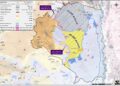
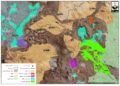
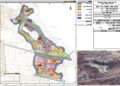
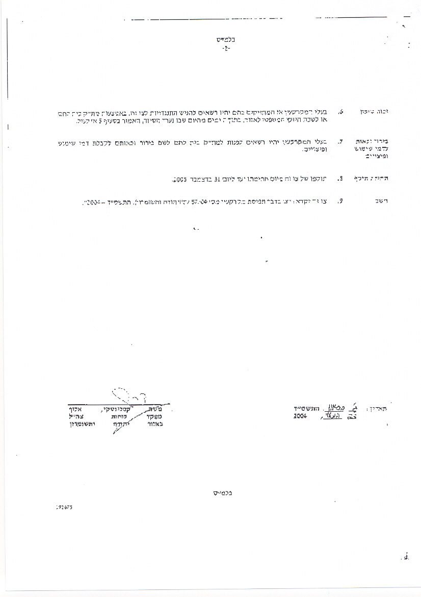
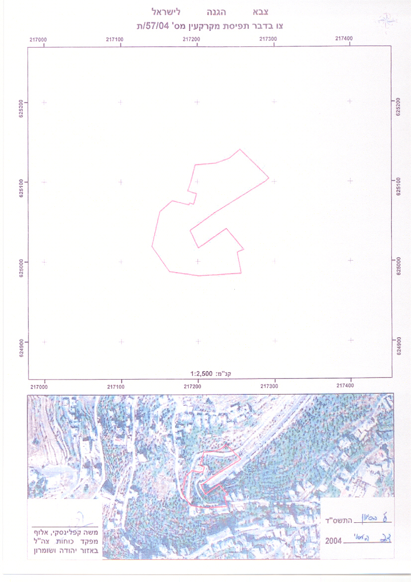
On April 19, 2004, the Israeli Army served residents of Beit Jala with military order (32/04/T) issued on March 25, 2004; to notify them that a section of the Segregation Wall is set to be constructed at the designated area in the military order located at northwest of Beit Jala. The section indicated in the military order intend to close off the northwestern sector of Beit Jala and to create a barrier separating the town from its lands, which also include the Israeli settlement Har Gilo stamping on part of it. The military order run along 2.73 Km and will consume 120 Dunums of land to build the Segregation Wall. Earlier, on August 22, 2005, the Israeli Army issued a military order under number 157/05/T to build a section of the Segregation Wall to close off access to the Israeli bypass road 60, which penetrates Beit Jala's lands. Furthermore, The new amendment of the Israeli Army issued military order (32/04/T) served on March 25, 2004) indicates cancelled section of the original order in the vicinity of the tunnel opening that carry bypass road 60, in addition to a modification at a Wall section located at the town's northwest lands. See Photo 1, Photo 2 & Photo 3, &


Israeli Military Order # 201/05/T in Beit Jala and Al-Khader
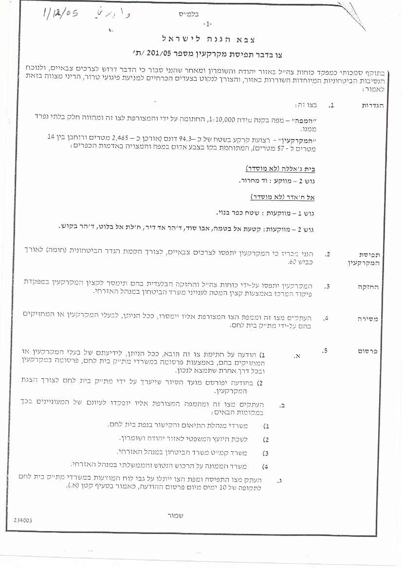
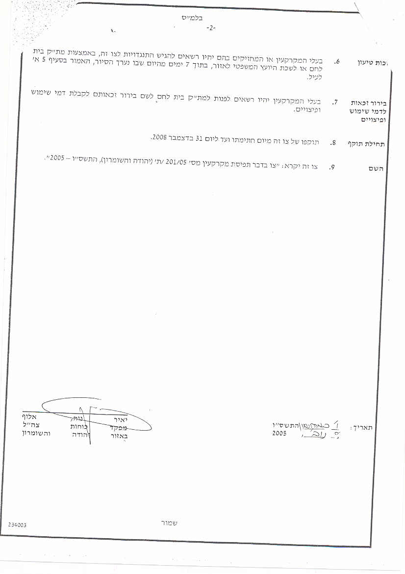
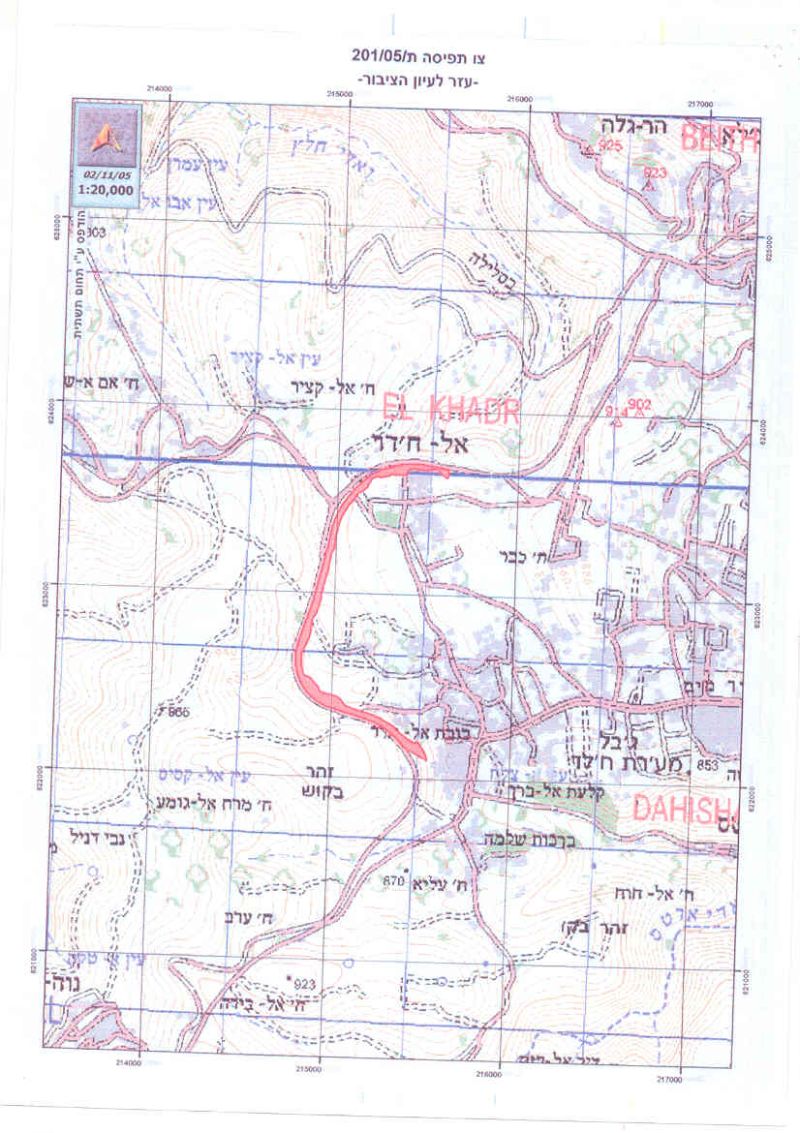
This Israeli issued military order on November 2, 2005 include some area of Beit Jala's land; 700 meters (about 28% of the order), which will in its turn complete the Segregation Wall section set enwrap Beit Jala from its northwestern and western parts.
Al-Khader,
About 4.5 Km to the southwest of Bethlehem city laid Al-Khader city with a population of 9003 inhabitants (PCBS, 2005). This agricultural based city has been a target of Israeli plans for sometime, as 2672 Dunums of its lands have been confiscated to build three Israeli settlements (Elazar; established 1975, Efrata; established 1979 and Neve Daniel; established 1982) and bypass roads # 60 and number 375.
Recent Developments
On October 30, 2005, an Israeli military order number 135/05/T was issued to modify sections of the Segregation Wall route south of Bethlehem district, parts of Al-Khader lands adjacent Efrat settlement. The modification included in the military order is insignificant as it shift small part of the original route of the Segregation Wall westward.
The military order runs along 4.56 Km and will consume 444 Dunums, the majority of which belong to Al-Khader city (399 Dunums); where the Segregation Wall will constitute a barrier between the landowners and Efrata settlement, part of the Gush Etzion settlement bloc.
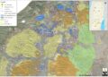
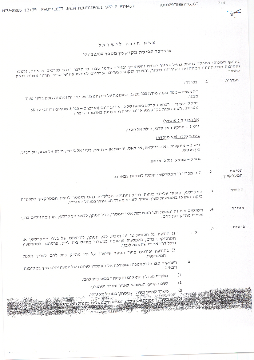
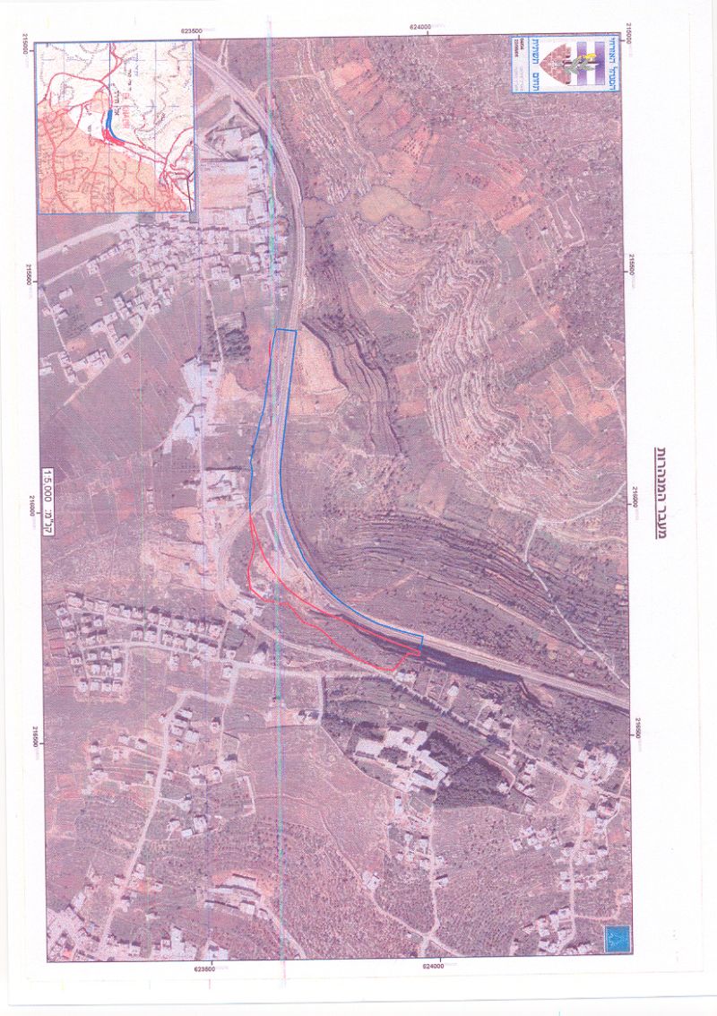
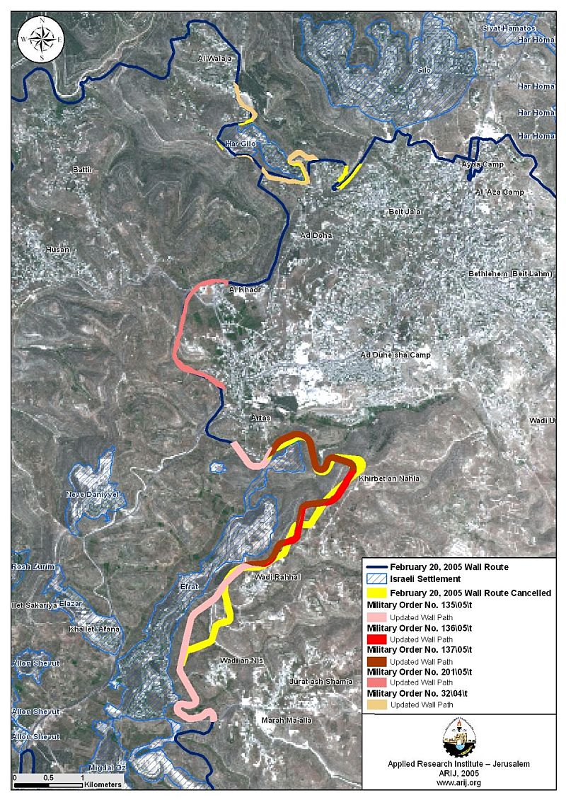
In addition, on November 2, 2005, the Israeli Army served residents of Al-Khader city with a military order holding number 201/05/T to build an additional section of the Segregation Wall on the city's western area. This section of the Segregation Wall will run along bypass road #60 for 2.46 Km (1.76 Km of which runs on Al-Khader lands) and will come on 95 Dunums of land to build the Segregation Wall, which will detach considerable area (nearly 6000 Dunums) of Al-Khader's agricultural lands behind it. See Map of military order
The new order comes as an extension to previously issued Military order (1/93/T) in April 4, 2005 to entrap Bethlehem's west and southwest areas and create a barrier to the Gush Etzion settlements bloc. Today, plans of the Israeli Segregation Wall threaten the northern and western parts of the city to be isolated behind the Wall; thus, denying residents of Al Khader access to 15390 Dunums of land (75% of the city�??�?�¢??s total land area) which will be segregated behind the Wall.
|
|
Military Order # |
Date Issued |
Location |
|
1 |
93/01/T |
4/4/05 |
Al-Khader |
|
2 |
21/99/T |
8/7/05 |
Al-Khader |
|
3 |
157/05/T |
22/8/05 |
Al-Khader & Beit Jala |
|
4 |
135/05/T |
30/10/05 |
Al-Khader |
|
5 |
201/05/T |
2/11/05 |
Al-Khader & Beit Jala |
The following table shows the military order issued so far by the Israeli Army to build the Segregation Wall in Al-Khader and the several other military orders issued earlier to demolish many Palestinian houses existed along the designated route of the Segregation Wall.
Other localities debilitated from recent Israeli military orders in Bethlehem Governorate: Artas, Wadi Rahal, Wadi Al-Nic, Jurat Al-Sham'a and Marah Ma'alla,
These small localities located south of Bethlehem Governorate were unfortunate with the close proximity of the Israeli settlement Efrat, established on their lands and now considered one of the pillar settlements of the Gush Etzion bloc. The location of this settlement is the reason why the Segregation Wall is set to run east of the settlement; more than 1 km off bypass road # 60. The route of the Segregation Wall near these localities was set according to the Israeli Army published map of February 20, 2005, up until the 3rd and 4th week of October 2005. That is when the Israeli Army served (by means of throwing randomly) residents of these villages with three different military orders notifying them that there has been changes on the route of the Segregation Wall in the area.
1. Israeli Military order number: 137/05/T, issued October 19, 2005
The adjustments made on the route of the Segregation Wall under this military order takes place in two sections; the first run byArtas and the second near Wadi Rahal. The two sections run for 3.26 Km and will come on 294 Dunums of agricultural lands.
2. Israeli Military order number: 136/05/T, issued October 31, 2005
This military order modifies the original route of the Segregation Wall in two sections running on Khirbit Al-Nahla and Wadi Rahal along 1.65 Km and will require 121 Dunums to build the Segregation Wall.
This was not the first time the Israeli Army adjusts the route of the Segregation Wall set on February 20, 2005, precedents took places in other area, however, it is important to elucidate that non of these adjustments were of any significance to the Palestinians landowners, in fact it was done to facilitate the Army's work at these areas.
Prepared by
The Applied Research Institute – Jerusalem
ARIJ