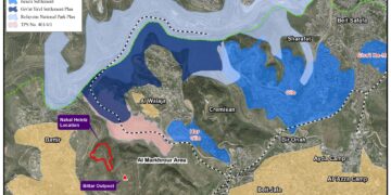
- Violation: Establishing a new outpost.
- Location: Kufr Ad-Dik town / West Salfit.
- Date: April 3rd 2022.
- Perpetrators: “Bedouil” colony.
Description:
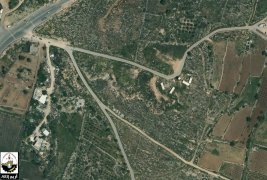
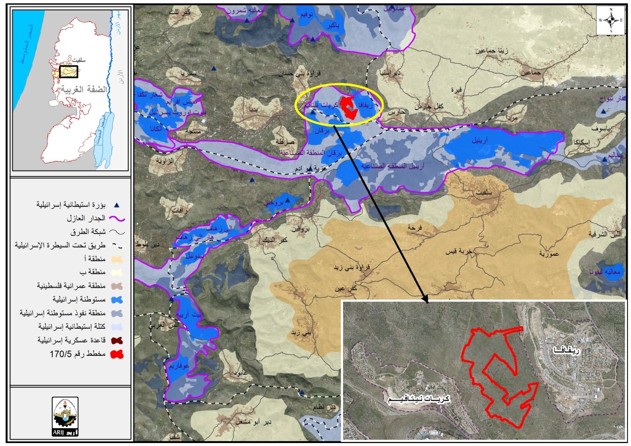
Sunday, April 3rd 2022, a group of colonists started a new outpost in Al-‘Eqda area west Kafr Ad-Dik in Salfit , in more details , the targeted area is postures that belong to a number of farmers at the town.
Reportedly, Colonists made several changes on a plot including leveling it , the targeted plot has a total area of 13 dunums . They also installed 7 caravans , in an attempt to take over the land in order to establish an illegal outpost.
The new Outpost is located 150 m south Bedouel colony, on lands the occupation claims are a state property.
Establishing a new outpost will expose vast areas of lands to confiscations, especially that the outposts located on a hell that overviews large areas of olive groves.
 |
 |
During the past years, the outpost witnessed a notable growth, that resulted in doubling the area of control 3 times compared to its area in 90s , many outpost were planted following tenders published by the Israeli Government , and the result is numerous caravans in Deir Bllout and Kafr Ad-Dik.
The Israelis call Bedouil the state’s porch , due to its location that overviews the Palestinian cost , in addition to the fact, that it separates several Palestinian villages and strengthens colonization. The former Prime minister “Ariel Sharon” stood on the area under control and said “this will always be Israel , and we will never give it back to Palestinians no matter what happens”.
Noteworthy, “ Bedouel” colony started in 1948 , in 2016 it built up area was 614 , and inhabited by 1682 colonists.

About the town of Kafr ad-Dik:[1]
The town of Kafr ad-Dik is located 15 km to the west of the city of Salfit. It is bordered to the north by Bidya, to the west by the villages of Rafat, Deir Ballut, to the east by the villages of Burqin and Sarta, and to the south by the villages of Bani Zaid. Its population reached 5551 people until 2017, and its total area is 15529 dunums, of which 791 dunums are the building surface of the village. The occupation confiscated an area of 2477 dunums of its lands, as follows:
- The colonies/settlements looted 1225 dunums of village lands, which are:
|
Name of the settlement |
Establishing date |
Confiscated land in dunam |
Number of settlers |
|
Har Alei Zahav |
1983 |
134 |
NA |
|
Alei Zahav- Yizrael |
1982 |
290 |
424 |
|
Pedu’el |
1984 |
800 |
1088 |
|
Bruchin |
1999 |
1 |
NA |
|
Total |
1225 |
1512 |
|
- The bypass roads plundered 362 dunums.
- The racist wall looted 890 dunums, and about 8842 dunums will be isolated behind it, and its length on the village lands is 8905 meters.
According to the Oslo agreement, the lands of Kafr ad-Dik are classified as B, which constitutes 15% of the area of the village, while areas C, is under the full control of the Israeli occupation, which constitute 85%.
- Areas classified as “B” are 2,252 dunums.
- Areas classified as “C” are 13,277 dunums.
[1] GIS-LRC
Prepared by
The Land Research Center
LRC