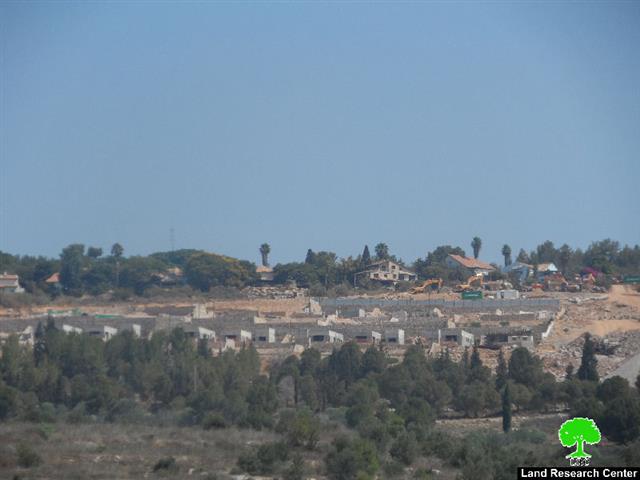
Violation: Salit colony has established a new quarter 'neighborhood' at expense of Kafr Sour lands.
Location: Kfar Sour townTulkarm governorate.
Date: August01, 2014
Perpetrators: Salit colonists
Details:
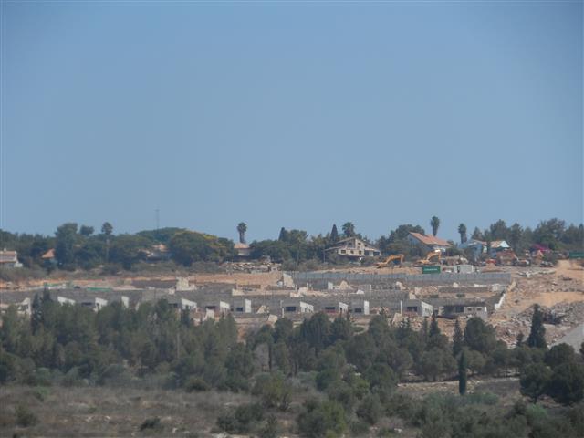
The machinery of the occupation continues, day and night, the ravaging acts for the sake of establishing a new quarter, east of Salit colony that is located on the lands of Kafr Sour, south of Tulkarm.
According to the field observation of the LRC, the bulldozing acts took place in the eastern and northern parts of Salit colony. More than 240dunum were leveled to the ground belonging to the inhabitants of Kafr Sour.
The field follow-up of the LRC asserted that: “more than 30 residential units were constructed on the ravaged area of Salit colony not mentioning the occupation plan of finding a new network of roads surrounding the colony”.
The construction operation was intensified in surrounding area of the colony, especially in areas classified as “security boarders” which have been declared inaccessible since the second Intifada.
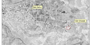
Photo 1-2 scenes from the expansion works in Salit
Salit “devours “ the lands of Kfar Sour :
The colony of Salit is located in the westren part of Kfar Sour village.According to the village council : " in 2000, the Israeli occupation constructed the apartheid wall which secluded 400 dunum from the lands of the villavge behind it. The occupation also set up a gate that allows farmers access to their lands in specific seasonas and times."
In the same time ,the occupation allowed colonists to sobatage lands and cropses, and to confiscate massive areas for the favor of the colony’s expanstion taking the advantege of the lnads inaccessabilty to farmers and the hard situattions that the area is going through. That is considered part of the Juadization plan which is conducted to change facts on the ground and to give the occupation the opportunity to take over lnads from behind the wall and adjion them to the occupation state.
For further details, please read through the previous report issued by the LRC under the title of” Expansion works on the colony of Salit ”
About Salit :
Salit ; rock in Arabic, was named afrer the Palestinian village Kfar Sour on which it is located.
The colony is situated in the southeastren part of Tulkarm. It was established in 1979 and is of 1475 dunums in area. The reason behind its establishment is geo-political, since it is located betweeen the green line and kfar Sour which has enabled the colony to expand more and more with time .
The lands on which the colonty is established are goverenmental and registered in the Jordanian land treasury of the Hashemite Kingdom totaling 1350 dunums. The other part of the lands is owned by the farmers of Kfar Jamal village and is of 125 dunum in area used by colonists for planting cactus. The total area of the colony now is 1475 dunums but the built-up and industrial area totals around 700 dunums in area.
Prepared by
The Land Research Center
LRC

