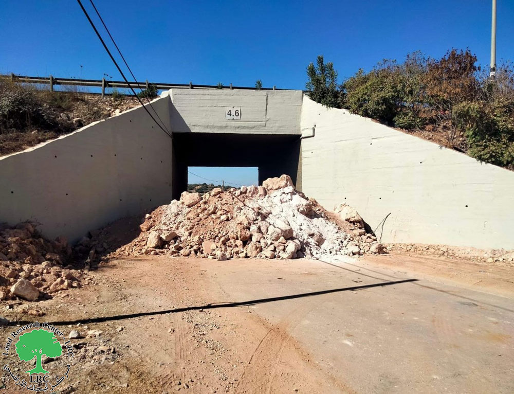
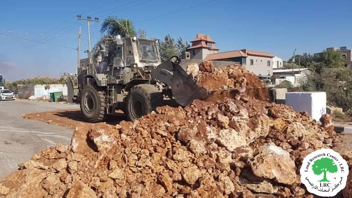
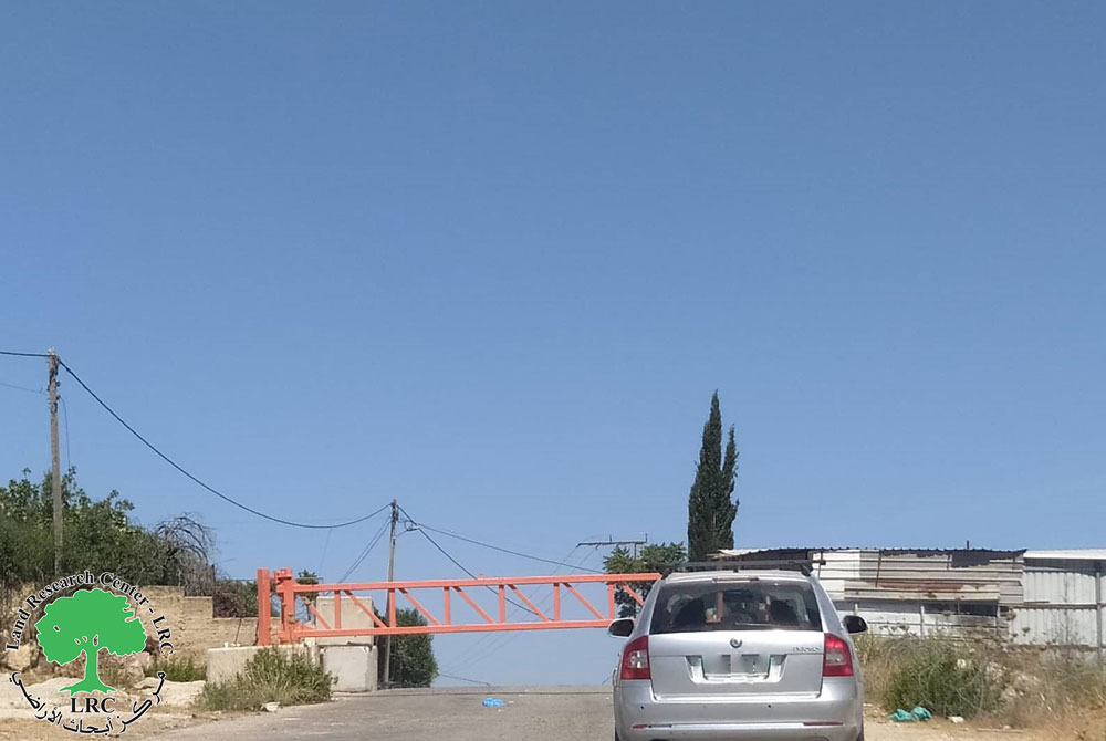
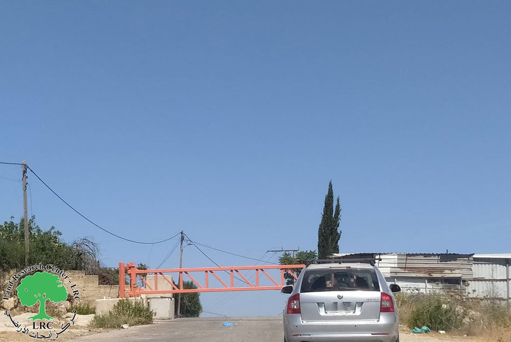
The Israeli occupation forces started at the beginning of last month to prevent Kafr Laqif's farmers, Qalqiliya, from accessing into their agricultural lands separated behind the Segregation Wall. More than 1000 dunums of Kafr Laqif's lands have been isolated behind the Wall. 90% of this land is cultivated with olive trees. More than 1600 olive trees were destroyed under or in the vicinity of the path of the Wall.
The new Israeli restrictions were introduced under alleged security reasons. In an interview with LRC field worker, farmer Sulieman Saleh Hassan who had been depending on olive oil trade as main source of income said that: ' I have lost about 140 dunums under the path of the Wall or behind it. I have a family of 9 members. My family's livelihood source is seriously threatened under the current circumstances where there is no other job to take. I feel destroyed'.
On the other hand, farmer Husni Hasan Asaf confirmed to LRC field worker that he has lost 70 % of his agricultural land â�� 74 dunums – under the Wall path.
In Kafr Laqif alone, there are 35 farmers whose land is now separated behind the Wall and are barred from reaching it under the recent Israeli restrictions and economic punishment.
Location, population and area
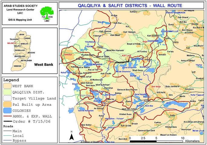
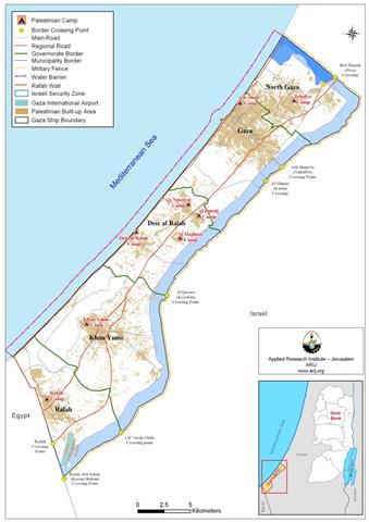
The village of Kafr Laqif is located on the main road between Qalqiliya and Nablus opposite the Karnei Shormon settlement block. It's population toll is 750. it total surface land area is 2579 dunums, of which 298 dunums area built up area ( Source- the GIS unit at LRC). See Map 1
Kafr Laqif and the Segregation Wall
Works in the construction of the Wall in this part of the region were resumed in August, 2006, in a 2800 meters long section between Azzun and Kafr Laqif on the main Nablus- Qalqiliya road number 55 over 279 dunums of Palestinian owned land.
(Image 1: the yellow section of the Wall currently under construction)
The under construction Wall section will cut the main road number 55 between Qalqiliya and Nablus and, consequently, force Palestinians to find alternative routes.
The Wall plan in this section encompasses the annexation of four settlements, namely: Ma'ale Shomron, Ginot Shomron, Karne Shomron and Neve Oranim which are located in the most north eastern biggest finger-like corridor in the West Bank which aims at ensuring the annexation of all Israeli colonies in the area. This finger- like corridor of Ariel settlement block includes another 11 settlement: Ariel, Yakir, Revava, Keryat Netafim, Immanuel, Nufim, Barqan, Alei Zahav (Yo'ezer), Pedu'el, Beit Arie and Ofarim.
This corridor will result in the annexation of thousands of dunums of Palestinian lands and dozens of underground water wells which, in effect, will cause disastrous impact on the very existence and welfare of Palestinian people in the area. Works in this corridor started at the beginning of 2003 (for related information, please see the case study 'Resumption of Wall construction in the biggest finger-like corridor in the West Bank'.
Prepared by
The Land Research Center
LRC


