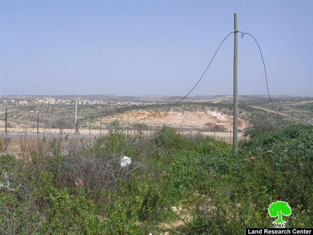
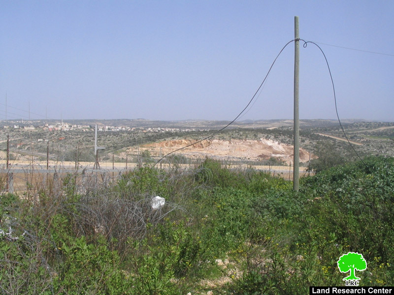
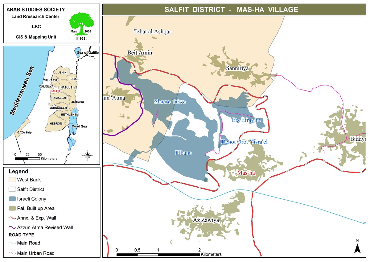
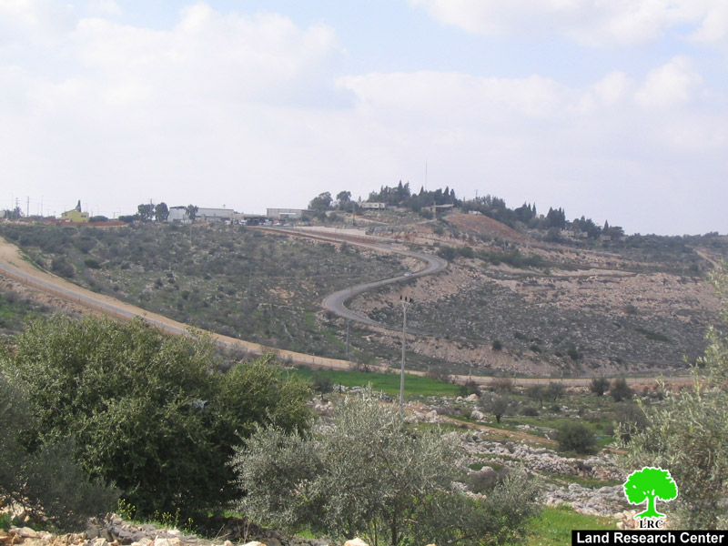
Since the middle of February 2009 Israeli occupation forces began land plowing in the village of Masha, west of the Governorate of Salfeet, which is isolated behind the Israeli Racist Isolation Wall. The area of the plowed lands is about 22 dunums and is located in Parcel 4 (known as Ahwad Abu Zureiq). It is owned by both Mr. Ramadan Yousef Ibrahim A’amer and Mr. Sabah Abdel Kareem A’amer who were trying to gain access to their lands since 2004, yet to no avail as Israeli occupation forces continued to deny them this basic right.
Photo 1: The plowed lands in Masha beyond the Electronic Fence.
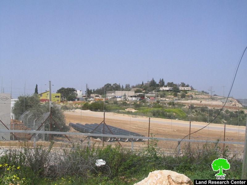
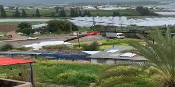
The plowed lands were planted with olive trees and are considered to be a secondary source of income for the owners of the lands. The plowing has taken place in tandem with an ongoing major expansion of the nearby colony of Al Kana A and B especially in the southwestern direction of the colony. The current plowing, which is taking place only 400 meters away from the colony, coupled with the ongoing expansion is liable to increase the area of the colony to double its current size. It is worth noting that the colony of Al Kana was established in 1977. Its current area is 1198 dunums with a built-up area of 758 dunums in which 3050 colonists were living as of the year 2004.
Photo 2 & Photo 3: Al Kana colony expanding on the expense of the lands of Masha village.
Since the establishment of the Racist Wall in Masha in 2004, Israeli occupation forces have tried to link the colonies located behind the wall with a network of roads as a prelude to gather them in one regional council in the future. These forces are taking advantage of the fact that Masha Palestinian land owners (around 400 according to UNRWA) cannot reach their isolated lands due to Israeli restrictions. Such restrictions include giving entry permit to only one person of the family in addition to placing impossible conditions on those wanting to be issued a permit to reach their isolated lands. This Israeli policy has led to a steep decrease in the number of Palestinian farmers that can gain access to their lands isolated beyond the Wall. Lack of access provided an alibi for the Israeli occupation forces to implement wide scale plowing for the benefit of the colonies of Al Kana A and B, Itsfariem, Oraniet and Shi’ar Batikva
General Information About Masha:
The village of Masha is located 6 kilometers east of the Green Line at a distance of about 20 kilometers west of the city of Salfeet. Its lands extend up to the boundaries of the town of Biddya in the Governorate of Salfeet. Its population is estimated to be 2003. The village is considered to be the mother village of the town of Kufr Qasem which was occupied in 1948. In the aftermath of the 1948 Nakba, the Israelis occupied 70% of the village, including the Kufr Qasem location, while the remaining 30% stayed within the boundaries of the West Bank which later became the village of Masha. In 1956, a massacre was carried out by Zionist gangs against the residents of Kufr Qasem which caused the remaining ones to flee for their lives.
The total area of the village is 7,870 dunums of which 598.6 dunums are its built-up area while an additional 5272 dunums are used for agricultural purposes (vegetables, trees and olive trees). Around 1000 dunums are used for grazing purposes.
Israeli colonies surround the village from all direction as they devoured around 2200 dunums of Masha lands. The colonies established upon Masha lands include:
-
The colony of Al Kana which confiscated 1373.5 dunums
-
The colony of Itsfariem which confiscated 539 dunums
-
The colony of Shi’ar Batikva whose area is 1130.5 dunums of which 283 dunums are Masha lands.
General Information About the Israeli Racist Isolation Wall in Masha:
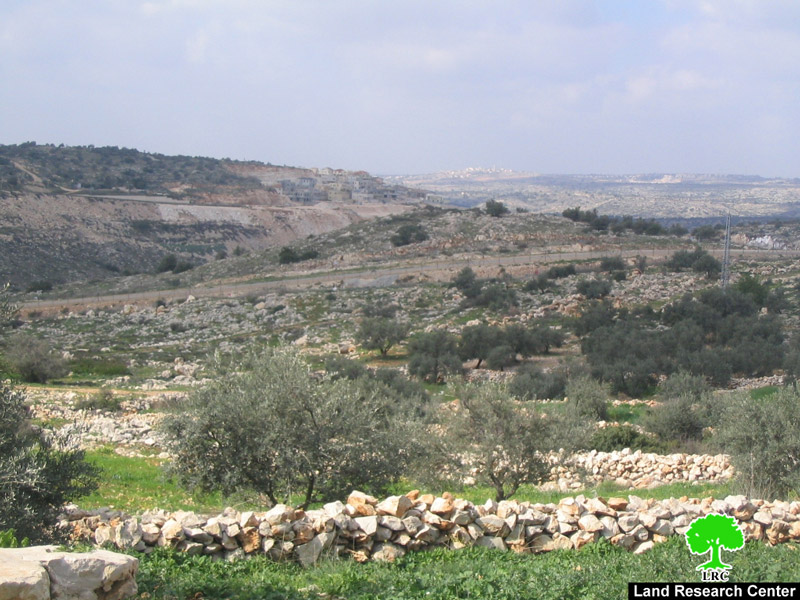
The length of the Israeli Racist Wall in the lands of Masha is about 3 kilometers. It consists of a combination of 8-meter high slaps of cement, barbwires, and fences with electronic sensing devices as well as trenches. The width of the Wall varies between 40 to 50 meters.
Photo 4: The barbwire stretching along the colonial road on Masha lands.
It is worthy to note that the establishment of the Israeli Racist Wall has led to the confiscation and the isolation of around 5500 dunums of Masha lands constituting 95% of its total area. Currently, the Racist Wall surrounds the village from its northern and western directions. The second phase of the construction of the Wall will be done in the southern parts of the village which, in turn, will turn the village into an isolated Palestinian community. It, also, would mean the transfer of its population from a productive workforce working in agriculture and trade into an army of poverty-stricken unemployed population. That is in addition to the lack of any possibility of further building expansion to absorb the future natural population growth.
Prepared by:
The Land Research Center
LRC


