Violation: confiscation of archeological stones
Date: 10/05/2015
Location: shrine of Sheikh Abu Kamel
Perpetrators: the Israeli occupation army
Victims: residents of Beit Dajan
Details:
Historical shrines are considered symbols of pinning down Palestinian identity and presence on this land at time of the Israeli vicious attack, aiming to distort facts and change land marks.
According to the data of Palestine Ministry of Tourism and Antiquities, there are 7000 archeological sites of which 53% are founded in area C, 20 % are in area B where the rest is classified as area A (Classifications of areas according to Oslo Accords of 1993). This means that the most important historical sites, which reflect Palestinian true identity and history are taken over by the occupation.
The shrine of Sheikh Abu Kamel: A living example
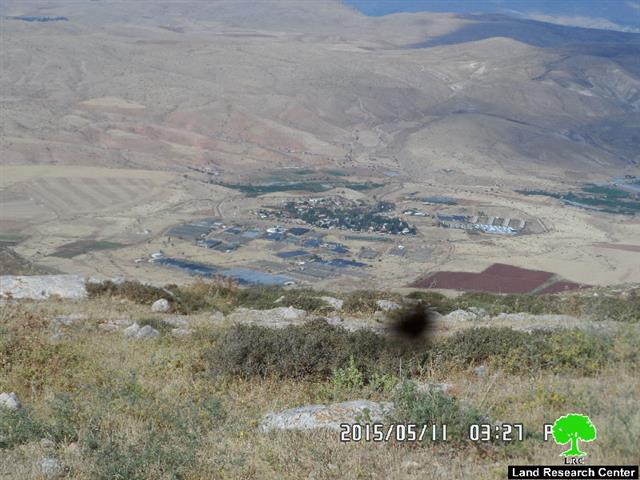
It should be marked that the Israeli occupation army accompanied by the Civil Administration on May 10, 2015 stormed the area of Abu kamel shrine, taking into account that the occupation has previously declared it a closed military zone; the area is 5km away from the village's residential mass and 1km to the west of Hamra colony.
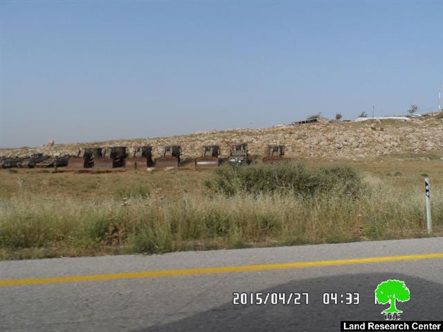
The force was reported to move the stones of the shrine though a dozer to the nearby colony of Hamra.
The chairman of beit Dajan village council Naser Abu Jeish told an observer from Land Research Center the following:
" the shrine goes 150 years back in time and is considered a symbol of the Palestinian presence in the area. The shrine was rehabilitated by the village council by mid nineties but colonists targeted the spot with many attacks. Not only that, the occupation declared the area a closed military zone and stool the stones of this site to re-build them inside a nearby colony in an attempt to falsify historical facts"
Photos 1 & 2: the targeted shrine
About Beit Dajan:
Beit Dajan is located 10 km to the east of Nablus; its total area is 44100 dunums including 360 dunums of built up area inhabited by 3900 pople (2010 census) in addition to 12500 dunums that are related to al-Ghoor area . A large part of the village lands were confiscated for the construction of the colony of Mehola in 1973.
Beit Dajan is surrounded by a number of villages namely (Salem, Deir al-Hatab, Talluza, Beit Furik, Ghoor el-Far'a ) and depends on grains plantation and fruitful trees such like olive, figs and almond.
Prepared by
The Land Research Center
LRC


