- Violation: demolition of three stores
- Location: Kharbatha Al-Misbah- village
- Date: January 18, 2016
- Perpetrators: Planning and Construction Committee- Israel Civil Administration
- Victims: three families
Details:
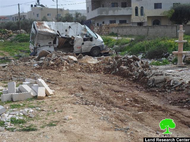
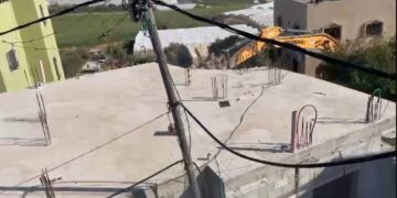
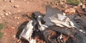
A massive force from the Israeli Occupation Army accompanied by a staff from the Civil Administration and two military dozers raided the village of Kharbatha Al-Misbah from the northern part, which is adjacent to the bypass road number 443 and carried out a demolition operation that reached out three commercial and industrial structures. Noteworthy, a closure was imposed on the area before demolishing the structures; the owners of which were not given the chance to evacuate their interior. The following tables shows information about the affected people due to the demolitions:
|
Affected citizen |
Family |
Minors |
Aream2 |
Nature of demolished structure |
Damage |
Photo |
|
Jamal Darraj |
7 |
3 |
600 |
A mechanic workshop. It was built in 2009 |
The metal slaps structure was brought down on its interior. Losses were estimated of 180,000 NIS |
|
|
Hamdi Habal |
5 |
2 |
12 |
A mini market established in 2006 |
The structure was brought down on its interior. |
|
|
Ahmad Habal |
9 |
4 |
750 |
A stones gallery established in 2010
|
A caravan( used as a storage unit) and 60m2 of stones were destroyed |
5 |
|
Total |
21 |
9 |
1326 |
Three structure and a caravan |
|
|
Source : Field observation- Department of Monitoring Israeli Violations- Land Research Center-2016
According to a field research conducted by Land Research Center, the demolished structures were served "additional opportunity to object to demolition order" notices on January 10, 2016 but the affected owners did not actually objected to the order. Also, the owners of the structure were delivered stop-work orders twice over the past five years. Owners' lack of legal follow-up on the issue eventually resulted in demolition of the structures.
About Kharbatha Al-Misbah:
15 km to the southwest of Ramallah city, Kharbatha Al-Misbah is located with a population of 7000 people (2013 census).
The village is 450m above sea level and is edged by Beit Aur village from the east, Beit Sira from the west, Beit Aur Al-Tahta from the north and Liqya village from the south.
The residents of the village belong to four major families, which are:
- * Al- Habal family: it forms 33% of the total population
- * Darraj family: it forms 25% of the total population
- * Harfosh family: it forms 22% of the total population
- * Mislih family: it forms 15% of the total population
In addition, refugees residing the village since 1967 form 5% of the total population
Prepared by
The Land Research Center
LRC


