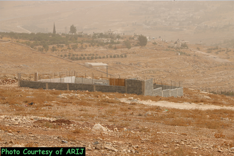
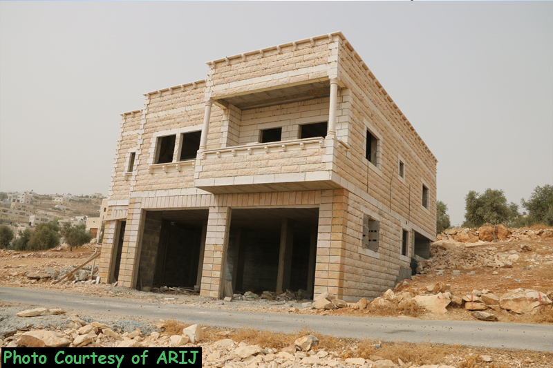
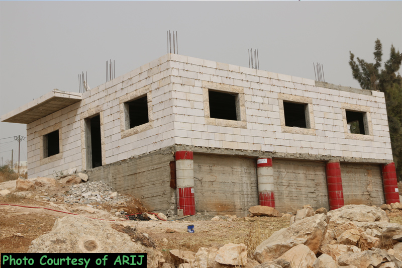
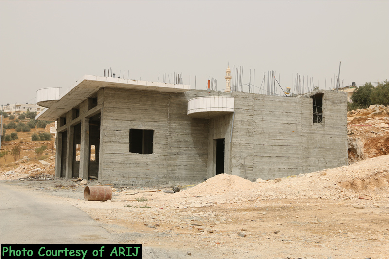
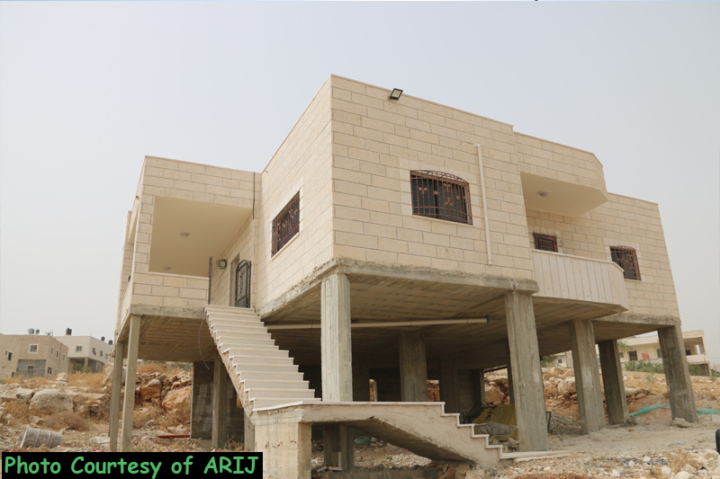
On September 2 , 2015, the Israeli Occupation Authorities handed out military orders to demolish five Palestinian houses and two retaining walls and a 400 square meters animal barracks in Khirbet Al-Dir area in Teqou’ village, southeast of Bethlehem city under the pretext of lacking building permits. The targeted houses are owned by local residents from the village. See table 1 below:-
| Table 1: Details for the targeted structure in Teqou’ village | |||||
| No. | Name | Type of Structure | Year of Building | Description | Losses |
| 1 | Suleiman ‘Ali Isma’eil | retaining wall | 2015 | 300m length | $17,000 |
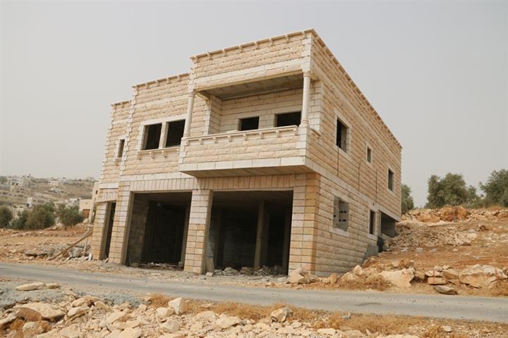
| 2 | ‘Ali Mohamad Isma’eil | Under construction house | 2015 | 180 m2 | $22,000 |
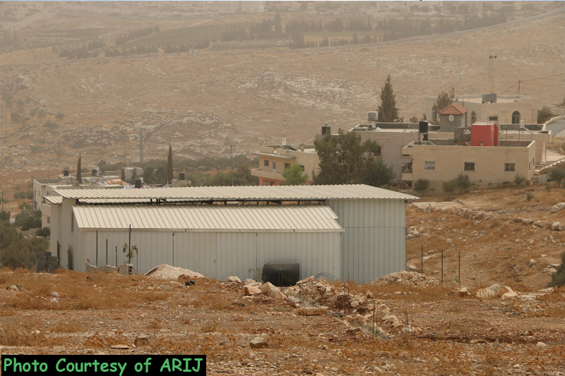
| 3 | Muneir Mahmoud Suleiman | Agriculture Barracks | 2015 | 420m2 | $12,000 |
| 4 | Mohammad Salim Subeih | Retaining wall | 2015 | 100m length | $10,000 |
| 5 | Youseph Mousa Suleiman | House | 2015 | 120 m2 | $15,000 |
| 6 | Mohammad Abdullah Musallam | House | 2015 | 200 m2 | $25,000 |
| 7 | As’ad Mahmoud Suleiman | Two story building | 2015 | 280 m2 (140 m2 each) | $40,000 |
| 8 | ‘Atef Muhammad Subeih | Two story building | 2006 | 200m 2 | $30,000 |
| Source: ARIJ Fieldworkers September – 2015 | |||||
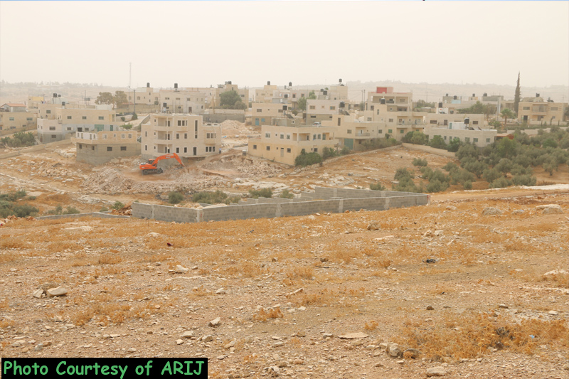
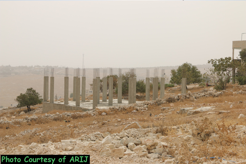
Moreover the Israeli Occupation forces handed over a building contractor a military order notifying him to halt the construction in 12km length rad section south of the village under the pretext of lacking proper authorization. See the picture below:
An interview with ARIJ fieldworkers, Mr. Tayseer Abu Mfarreh that the targeted structure located in Khirbet Al-Dir neighborhood north of Teqou’ where the municipality of Teqou’ submitted to the Israeli Civil Administration for a master plan of the neighborhood three years ago. Mr. Abu Mfarreh added that the master plan had been approved by a number of the Israeli bureaus and it is supposed to be in its way to be finalized soon. See the map below:
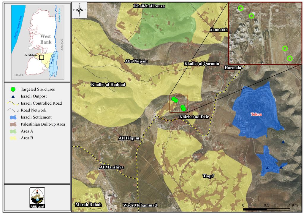
Map for the targeted structures in Khirbet Al-Dir/Teqou’
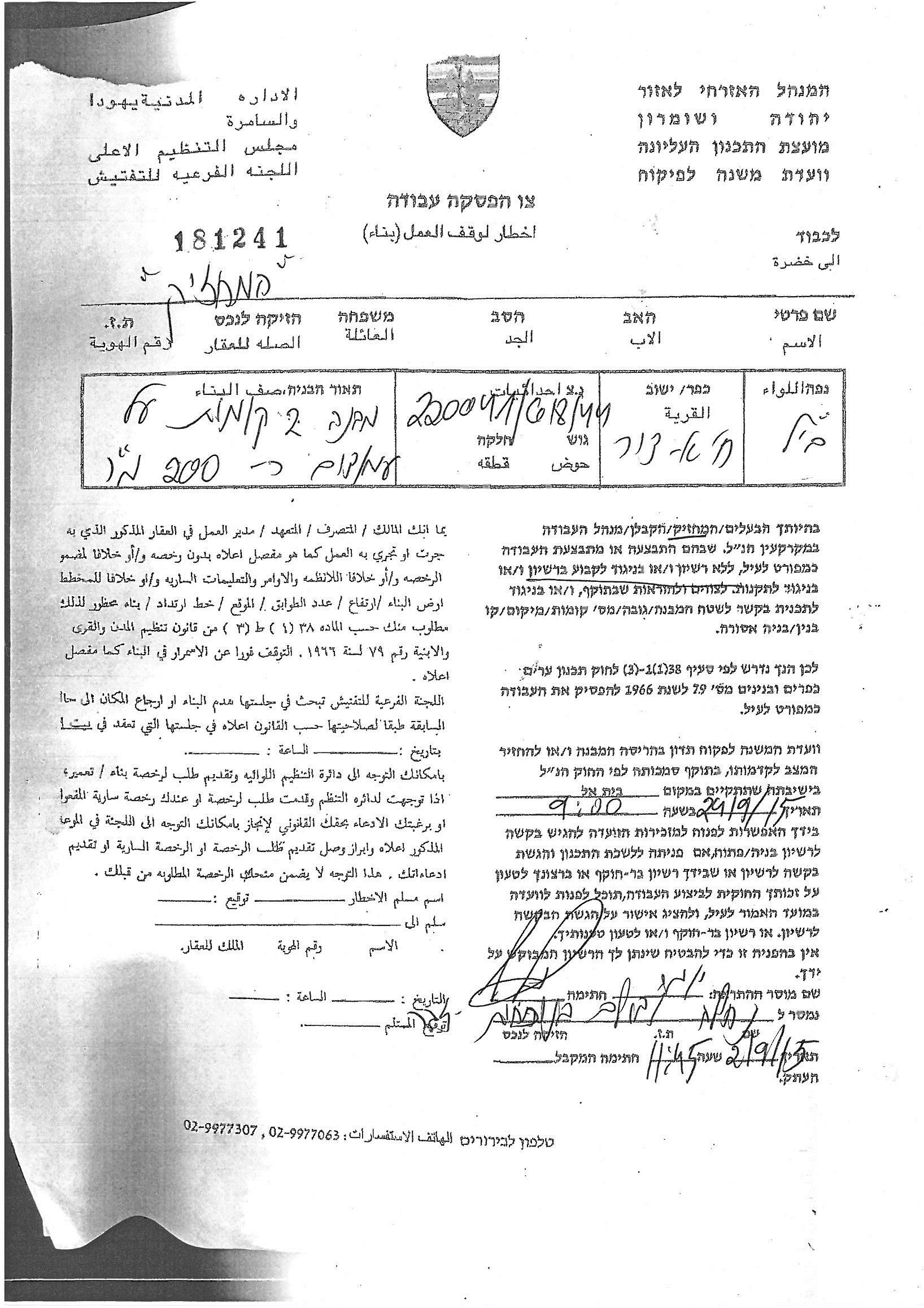
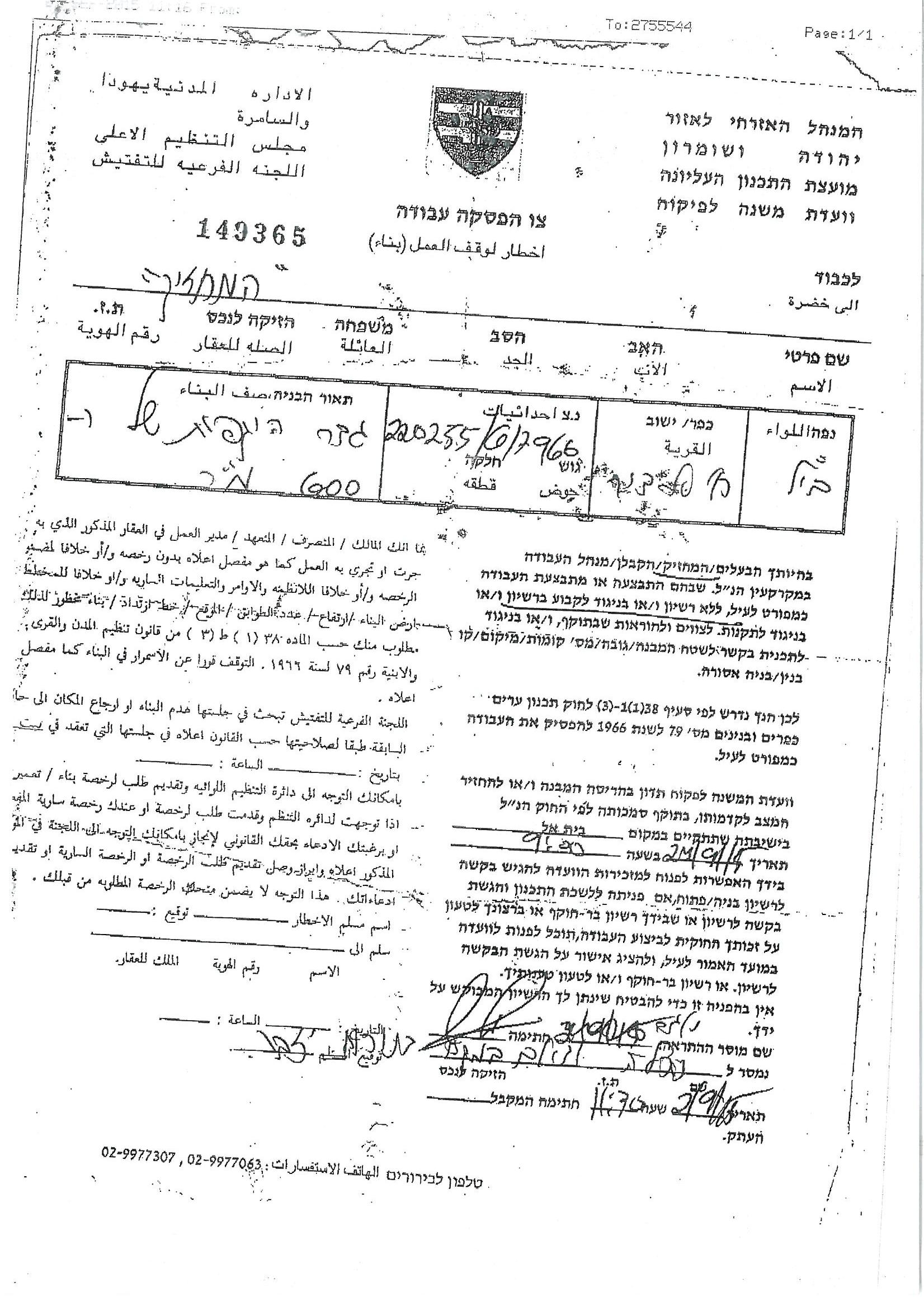
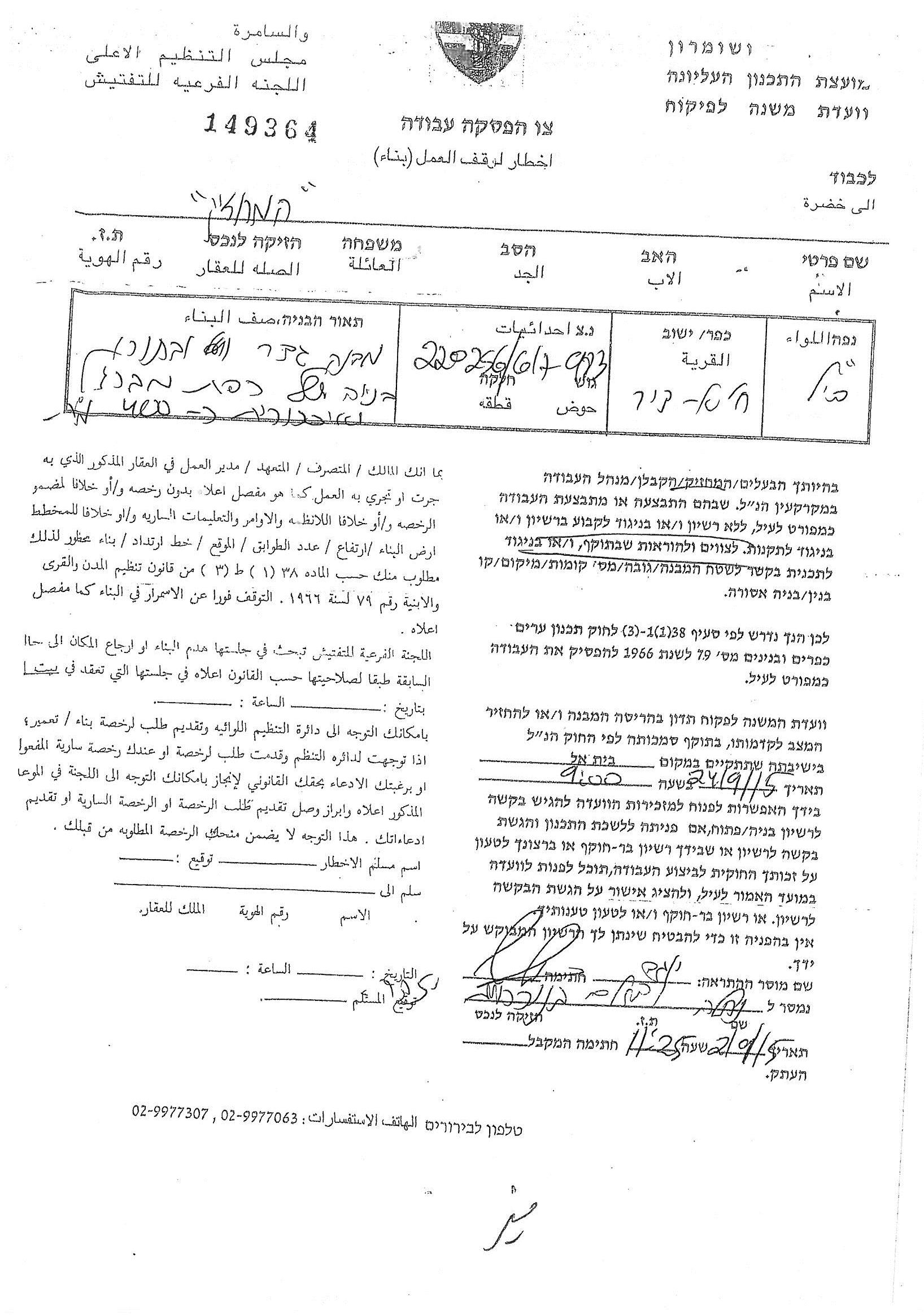
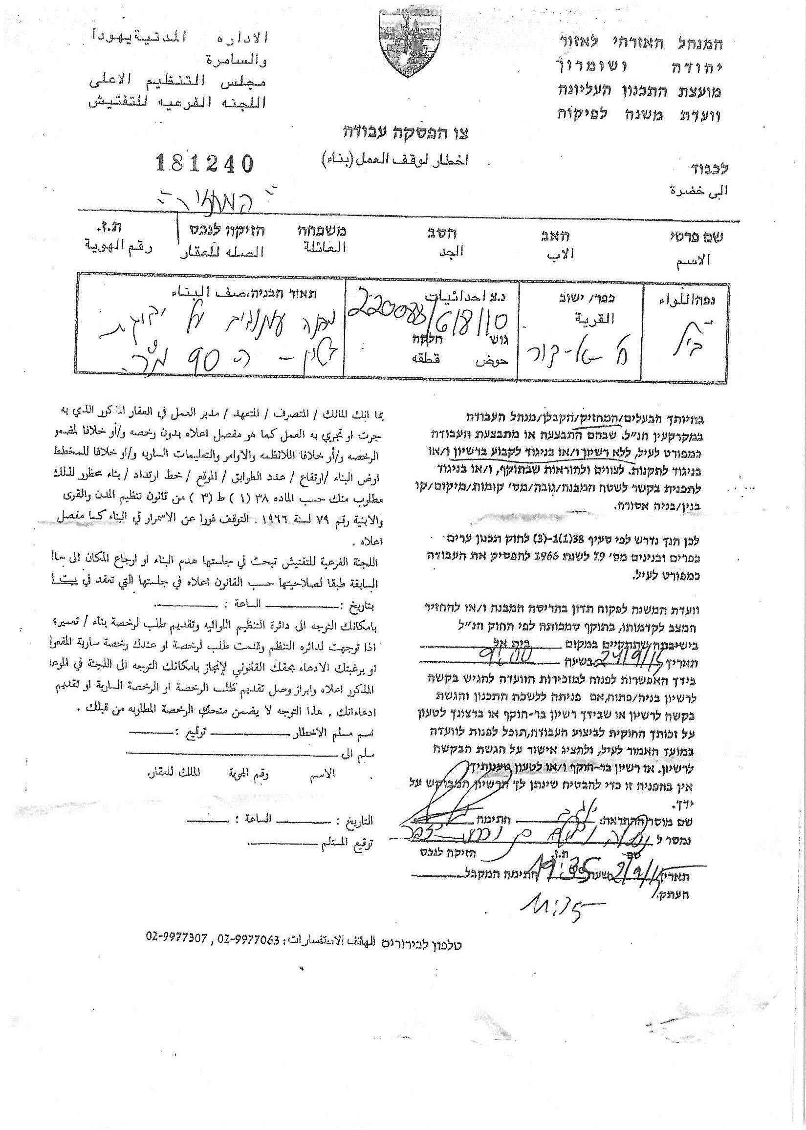
Photocopies for part of the Military Orders
Teqou’ is a small village located in the south eastern part of Bethlehem city, and about 12 km away from it. The village rises 850 meters above the sea level. Teqou is surrounded by Al Halqum village from the northwest, Umm Salamuna and Marah Rabah from the west, “Al-Menia” from the south, and from the northeast till the southeast the settlements of Tekoa and Nekodim and their outpost. The village is populated by 10,891 residents ( PCBS Projections 2015).
The village stands as a part of Bethlehem eastern rural area that has been subject of Israeli colonization activities for decades. Today, Israeli settlements (Tekoa, Nekodim, Kfar El-Dad), and bypass roads bind Teqou and the rest of Bethlehem eastern rural villages from exploiting their lands that lay east of them for their livelihood or to expand the villages' built-up area as their eastern property lands were clinched to realize Israeli plans in that area over the past decades
Building Dilemma in Teqou’
Building licenses in Teqou village (like the rest of West Bank villages), were obtained from the Israeli 'Civil Administration', from 1967 until Oslo Agreement in 1995. Before 1995, building licenses were very difficult to obtain, and the citizens waited for a long time before getting the license and sometimes fail to get it. After 1995 and the Classification of the West Bank land into A, B, C categories where A are the Lands under the complete Palestinian control, B are the lands were the Palestinian Authority has full control over the civil administration and Israel continues to have overriding responsibility for security, and C are the areas where the Palestinian authority has responsibility for civil life such as health and education while Israel retains full control over security and administration related to territory.
After this Classification of land, Teqou residents started to get building licenses from Teqou municipality, except those whose lands are located within areas classified as 'C' who must continue to get the building license from the Israeli 'Civil Administration' where their permits most often are refused. In the case of the 3 sheds and the house, they will be demolished under the pretext of having no license, (because the land which they build on is classified as 'C').
The Israeli Colonization activities in Teqou Village
The main Israeli colonization activity in Teqou village is the Israeli settlement policy which started in 1977, by the construction of 'Teqou' settlement, followed by the construction of “Nekodim” settlement in 1982, reaching to the construction of 'Kfar Eldad' settlement in 1999.In addition to other settlement outposts that are under construction until now. These settlements spread from Teqou’s north eastern part and extend towards its southwest, (See table A+B).
The presence of these settlements and the hostile Israeli exercises hinder expansion, growth and development of the village, and tightens the grip and prevents the villagers from following-up their life naturally.
Prepared by:
The Applied Research Institute – Jerusalem


