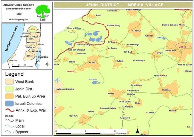
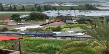
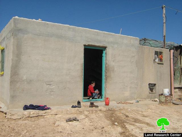
In a new attempt by Israeli occupation forces to control the lands of Khirbet Imreiha, they have plowed lands in the southwest of the khirbet near the old main road that used to link the towns of Ya’abad and Barta’a Al Sharqia. Barta’a is currently located behind the Israeli Racist Isolation Wall which isolated the town from its immediate Palestinian environs and transformed the life of its 2,300 Palestinian into a living nightmare.
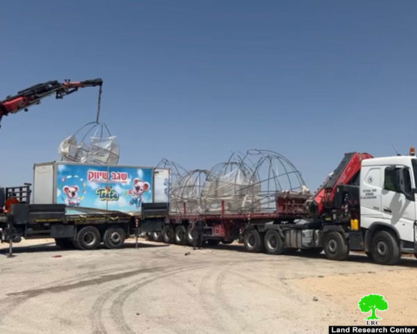
The plowing took place in the aftermath of confiscating around 7 dunums with the explicit goal of placing a new military observation tower in addition to a military road connecting the new tower and the main old road which was closed since 2000.
It is worth pointing out that in case the tower was established, it will lead to tightening the grip on the farmers of khirbet Imreiha while imposing further movement restrictions on the visitors to and from the village. There are currently 7 observation towers surrounding the village from all directions in addition to 3 gates at its entrances which made Imreiha a jailed-in village as to provide protection for Israeli colonists living in colonies in its vicinity on the expense of the Palestinian population and lands. These colonies include the following:
|
Colony Name |
Area in dunums |
Established |
Location |
Type |
|
Harmeish |
108 |
1983 |
Farasein |
Civil |
|
Hinaneit |
496 |
1981 |
Ya’abad |
Civil |
|
Rihan |
294 |
1976 |
Barta’a and Ya’abad |
Agricultural |
|
Shakid |
360 |
1981 |
Ya’abad |
Civil |
|
Movo Dotan |
258 |
1983 |
Arraba and Ya’abad |
Civil |
The residents of the khirbet (75 households) depend largely on agriculture and on herding as the main sources of income. They breed and raise sheep, cows, chicken and pigeons. The Israeli occupation army has prevented the residents from using the Tulkarem-Jenin road located in the vicinity of the village which deprived them from accessing their historical markets. These forces have been actively preventing the herders and farmers from reaching their lands located in the vicinity of the khirbet itself. In addition, the farmers and herders are not allowed to reach their lands located near the Racist Wall as the military towers there form a deterrence for the herders that obstruct them from reaching aad using their lands.
Moreover, khirbet Imreiha is one of the Palestinian villages and communities that Israel does not recognize due to its location in Area C. As such, Israeli occupation forces have been waging a brutal campaign to chase off farmers while preventing them from establishing any new building, agricultural or otherwise, in the area. So far, there are more than 15 structures that have received Stop Work orders since 2000 under the pretext of being built without a permit. Up to date, Israeli occupation authorities are adamantly refusing to issue any permits for the threatened structures while allowing unobstructed construction in the colonies surrounding the khirbet.
Lack of Basic Services in Imreiha:
The khirbet is located about 2 kilometers southwest of the village of Ya’abad. It lacks the minimal basic infrastructure of any community; it does not have a school, a clinic, water or electrical network, agricultural roads and not even a mosque. Most of the general services needed by the residents of the community are provided by the village of Ya’abad.
The current population of the khirbet is around 500 of which 30% are children. There are four main clans in the khirbet; Hamdoun, Turkman, Abu Iremila and Abu A’abed. These clans own around 1300 sheep, 120 cows and 250 chickens. Almost all of the residents of the khirbet are 1948 refugees originating from the city of Haifa. They are currently living on 200 dunums belonging to the town of Ya’abads’ land parcels.
Prepared by:
The Land Research Center
LRC


