Enforcing Israeli domestic law on Nature Reserves and Parks in the occupied Palestinian territory
Israel utilizes discriminatory legal mechanisms and legislation to confiscate and annex Palestinian land in the occupied West Bank, with a particular focus on the Palestinian population residing in the classified “C” area. These approaches seek to diminish Palestinian presence in the area while simultaneously expanding Israeli settlements and outposts and consolidating control over valuable resources. As a result, this hinders Palestinian urban and economic progress and impairs their capacity to oversee natural resources.
On 24 May 2023, the Israeli daily newspaper, Haaretz, revealed that Israeli Lawmakers in the Netanyahu Government are preparing to present and discuss an amendment to the law on “national parks, nature reserves, national sites and memorials” in Israel, that will include imposing Israeli civil law over national sites and nature reserves in the occupied West Bank. The amendment, as stated, will also grant the Israeli interior minister the authority to declare sites in the occupied West Bank as “national sites” rather than the “defense minister” himself, who currently has the power to do so. The aforementioned amendment was presented by Danny Danon, member of the Israeli Knesset and the Likud Party, under Netanyahu Government, and it would pave the way for “de facto” annexation of Nature Reserves and Parks in the occupied West Bank land to Israel as stated in the explanatory notes of the proposed bill: “The lands of Judea and Samaria [the West Bank] are full of heritage sites of great national and historical importance to the development of settlement in the Land of Israel.”
This amendment comes as part of a 2017 mandate, which appointed an Israeli ministerial committee that operates in the occupied West Bank, which is charged with determining the jurisdictional boundaries of Israeli settlements in the West Bank. The committee, which was established by the ex-Israeli Interior Ministry, Arye Derii, was given the authorization to evaluate the municipal status and alternations to jurisdictional boundaries of local authorities in Israel, including the occupied West Bank.
The status of Nature Reserves in the occupied West Bank
The nature reserve is defined by as the “area set aside by a government for the purpose of preserving certain animals, plants, or both. The (IUCN ,2007) defines the protected area as “An area of land and/or sea especially dedicated to the protection and maintenance of biological diversity, and of natural and associated cultural resources, and managed through legal or other effective means.”
There are 45 officially declared “Israeli” Nature Reserves (53 sites) in the occupied West Bank, equating to 350.7 km square, 6.2% of the total West Bank area. The majority of the declared Nature reserves sites, (294.5 km square -84% of the total Nature Reserve Area) are located in the area classifies as “C” where total control continues to be under the Israeli occupation Authorities . Only 4% of the nature reserves are located in area A, where the Palestinian National Authority (PNA) holds all responsibilities for internal security and Public order, and 8.3% are located in area B in which the Palestinian National Authority (PNA) has complete control over civil matters but Israel continues to have overriding responsibility for security. The following table lists the 45 Israeli declared Nature Reserves’ in the occupied West Bank.
|
Table 1: Israeli Declared Nature Reserves in the occupied West Bank |
|||||
|
Declaration Date |
Plan Number |
MO. No. |
Name of Nature Reserve |
Area (km²) |
No |
|
5/3/1983 |
51/35 |
363 (21) |
אום – תות ام التوت |
2.148 |
1 |
|
8/10/1983 |
51/25 |
363(27) |
אום זוקא أم زوكا |
21.197 |
2 |
|
5/3/1983 |
51/44 |
363(19) |
אלוני-שמואל נבי למון الوني صموئيل – ام الليمون |
0.009 |
3 |
|
5/3/1983 |
51/43; |
363(18) |
אלוני בלעין ألوني بلعين |
0.298 |
4 |
|
5/3/1983 |
51/68 |
363(23) |
אלוני סיריס ألوني سيريس |
1.114 |
5 |
|
5/3/1983 |
51/40 |
363(15) |
אלוני עטרה الوني عطارة |
0.017 |
6 |
|
5/3/1983 |
51/12 |
363 (2) |
אלוני ערבה الوني عرابة |
0.204 |
7 |
|
5/3/1983 |
51/54 |
363(10) |
אלוני תפוח الوني تفوح |
0.029 |
8 |
|
5/3/1983 |
51/47 |
363(33) |
ביצת ואדי מלחה وادي المالحة |
4.545 |
9 |
|
3/21/1997 |
51/52 |
363 |
גשר אדם جسر ادم |
0.770 |
10 |
|
8/10/1983 |
51/11 |
363(32) |
הסלוודורה المحمية السلفادورية الفارسية
|
0.011 |
11 |
|
8/10/1983 |
51/8 |
363(22) |
הר גידיר جبل جديرة |
10.470 |
12 |
|
5/3/1983 |
51/55 |
363(25) |
הר טמון جبل طمون |
18.485 |
13 |
|
1/1/1969 & 8/10/1983 |
51/3 |
363(26) |
הר כביר جبل كبير |
25.652 |
14 |
|
5/3/1983 |
51/24 |
363(29) |
חרובה خروبة |
9.426 |
15 |
|
6/22/1988 |
51/36 |
363(23/8 |
יער אום צפא غابة أم صفا |
0.391 |
16 |
|
2/13/1978 |
51/33 |
751 |
יער אום ריחן غابة ام الريحان |
2.675 |
17 |
|
5/3/1983 |
51/38 |
363(16) |
יער דיר ניזאם غابة دير نظام |
0.536 |
18 |
|
8/10/1983 |
51/7 |
363(34+3) |
כוכב השחר – ייטב كوخاف هشاهار – يتاف
|
0.876 |
19 |
|
8/10/1983 |
51/7 |
363(34+3) |
כוכב השחר נחל ייטב كوخاف هشاهار – نحال يتاف |
13.323 |
20 |
|
8/10/1983 |
51/50 |
363(4) |
כור (שיח חבן)
|
0.142 |
21 |
|
1/1/1969 |
51/19 |
363 |
מצוק העתקים متسوك هعتقكيم |
40.953 |
22 |
|
8/10/1983 |
51/9l |
363(17) |
נ.דולב-דולבים دوليف دولفيم |
3.504 |
23 |
|
5/3/1983 |
51/29; |
363(28) |
נבי איסמעיל نبي اسماعيل |
0.033 |
24 |
|
5/3/1983 |
51/15 |
363(30) |
נבי ינון نبي ينون |
0.026 |
25 |
|
8/10/1983 |
51/27 |
363(5) |
נבי רבח نبي رباح |
0.095 |
26 |
|
5/3/1983 |
51/41 |
363(16) |
נביעות نبيعوت |
0.040 |
27 |
|
5/3/1983 |
51/34 |
363(39) |
נחל בזק עילי ناحال بيزك عيلي |
56.816 |
28 |
|
5/3/1983 |
51/23 |
363(36) |
נחל מכוך ناحال مكوح |
23.205 |
29 |
|
5/3/1983 |
51/10 |
363(31) |
נחל פצאל ناحال بيتسائيل |
7.906 |
30 |
|
6/22/1988 |
51/16 |
363)23/8 |
נחל פרת – ואדי קלט ناحال برات وادي القلت |
28.241 |
31 |
|
5/3/1983 |
51/4 |
363(7) |
נחל קנה ناحال قانا |
13.799 |
32 |
|
5/3/1983 |
51/5 |
363(11) |
נחל שילה עלי ناحال شيلو عيلي |
9.920 |
33 |
|
8/10/1983 |
51/6e |
363(40) |
סלמן אל פרסי سلمان الفارسي |
0.026 |
34 |
|
3/21/1997 |
51/20t |
363 |
סרטבה سرطبة |
29.254 |
35 |
|
6/22/1988 |
51/37 |
363(23/8 |
עין דרא عين درعا |
0.088 |
36 |
|
6/22/1988 |
51/17 |
363(23/8 |
עין פשחה |
5.717 |
37 |
|
1/1/1969 |
51/19 |
363 |
עין תורבה عين تربا |
3.872 |
38 |
|
8/10/1983 |
51/66 |
363(24) |
עינון عينون |
0.203 |
39 |
|
5/3/1983 |
51/39t |
363(14) |
עינות זרקא عينوت الزرقا |
3.191 |
40 |
|
6/22/1988 |
51/17 |
363(23/8 |
עינות צוקים عينوت تسوقيم |
3.817 |
41 |
|
9/17/1995 |
51/107 |
373 |
פארק שמואל הנביא بارك النبي صموئيل |
6.417 |
42 |
|
8/10/1983 |
51/30 |
363(8) |
קמין חסיף كمين حسيف (حفرة الطيور) |
0.002 |
43 |
|
3/8/1989 |
51/18 |
363 |
קנה-וסמר قانا -لسمر |
1.225 |
44 |
|
5/3/1983 |
51/26 |
363(9) |
שיח זיד شيح زيد |
0.051 |
45 |
|
Total Area = 350.7 (km sq) |
|||||
 Image 1: Distribution of Nature Reserves in the occupied West Bank (By Governorate)
NATURE RESERVES … ISRAELI RESTRICTIONS ON ACCESS TO LAND FOR PALESTINIANS
A significant portion of the Israeli declared Nature Reserve Area in the occupied West Bank (oWB), 159 km² (45.4% of the total Nature Reserve area), is situated within the area designated as a “closed military area .” This classification was established by Israel following its occupation of the West Bank and the Gaza Strip in 1967. These areas have remained inaccessible to Palestinians due to enduring Israeli restrictions, particularly in the eastern part of the West Bank (Jordan Valley and the Dead Sea Area), persisting from that time until the present day.
When the term “Nature Reserve” is employed with the hidden agenda of restricting a specific population from accessing their own land, the land can too often deteriorate because of the lack of attention put into its actual conservation. This lack of attention becomes especially apparent in the Nature Reserve areas located in Area C. In the eastern part of the occupied West Bank, the effects of desertification are particularly visible. This region was historically used for animal grazing due to its steep slopes. However, since 85% of the area has been rendered inaccessible to Palestinian farmers, the utilization of the land has become distorted. The 15% of land that remains available for use is suffering from severe overgrazing, while the remaining 85%, designated as a Nature Reserve, is severely under grazed.
Due to the land restrictions imposed by the Israeli occupation Authorities in Area C, fertile agricultural lands with significant biodiversity in Areas A and B are being transformed and urbanized to accommodate a growing population. Meanwhile, the infertile land in Area C, which could have been suitable for such urbanization, remains inaccessible. The political manipulation of “nature reserves” across the occupied West Bank contributes to a confusion in land usage, ultimately leading to environmental degradation .
Nature Reserves in History
There are many decisions made in the Mandate Palestine region that are neither participatory, transparent, nor accountable. Decisions such as entry procedures, designated firing zones, and the closures of civil society organizations are all examples of decisions that were made behind the scenes without any participation or input from the people they most effect. Perhaps the most poignant example of a series of decisions on climate that have not been participatory comes from the designation of “nature reserves” by the Israeli Occupation Authorities in the occupied West Bank.
The first nature reserves in Palestine were established in 1917 under the British Mandate. These Nature Reserves were continued under the authority of Jordanian Rule in the West Bank from 1950-1967. These Nature Reserves were participatory – the conservation effort and intention came from Palestinians.
Another example of political usage of nature reserves comes from the Jewish National Fund’s work within nature reserves in Mandate Palestine. The Jewish National Fund plants non-native monocultures of pine trees that act as invasive species, damaging soil and potential growth of indigenous plants, all the while concealing destroyed Palestinian villages. The usage of a nature reserve to “Europeanize” land in Mandate Palestine is a gross violation of Palestinians both socio-politically and environmentally. (Image 1).
 Image 2: Pine Trees in the Yatir Forest, being used to displace
Bedouins in the Palestinian Village of Atir
The construction of the Israeli Segregation Wall
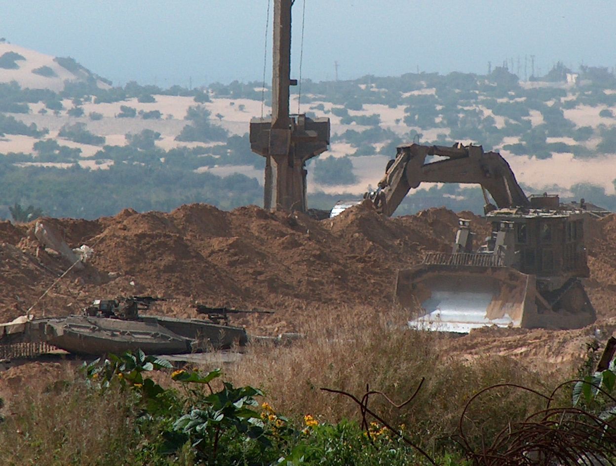
Another mechanism by which Israel has politicized nature reserves is through utilizing the areas for the internationally illegal segregation wall. The segregation wall isolates approximately 24.6% of the Israeli declared nature reserves in the occupied West Bank. Ironically, the wall that is erected upon nature reserves is detrimental to the movement of terrestrial fauna by cutting into natural ecological corridors and fragmenting ecosystems. Additionally, the wall cuts off nature reserves such as Um Al Riham from management personnel meant to care for the land. The segregation wall serves as a symbol of the prioritization of political strategy over environmental care by the Israeli government. (Figure 2).
 Map 1: The Israeli segregation wall affecting the Status of Nature Reserves
To conclude,
As time goes on, the area of land, where Palestinians are able to take part in decision-making continues to shrink. The case of nature reserves in Mandate Palestine is the perfect example of environmental decisions being made by Israel that are not participatory, transparent, or accountable. This is especially concerning in consideration with the indigenous knowledge that is lost when Palestinians are pushed out of environmental influence.
The Israeli policies against Palestinian land and environment constitute a grave breach of all articles from the International law that demands the protection of natural environment. Some of which are listed below:
- Under the Israeli-Palestinian Interim Agreement on the West Bank and the Gaza Strip Annex III, Protocol Concerning Civil Affairs, Article 12 Environmental Protection, clause 14, ‘Israel and the Palestinian side shall cooperate in implementing principles and standards, which shall conform with internationally accepted principles and standard ,concerning the protection of endangered species and of wild fauna and flora, including restriction of trade, conservation of migratory species of wildlife and preservation of existing forests and nature reserves’. So the Israeli policies of land confiscation, nature reserve destruction and natural resource degradation are against international laws and resolutions.
Prepared by:
The Applied Research Institute – Jerusalem