- Violation: Notice of demolition and leveling of a road.
- Location: Ya’bad town / southwest Jenin city.
- Date: October 12th 2021.
- Perpetrators: The building inspector at the Israeli Civil Administration.
- Victims: People of Ya’bad town.
Description:
The Israeli Occupation is imposing more restrictions on Ya’bad town south west Jenin city, which is mostly represented in closures of roads that connects it with surrounding Palestine communities.
Tuesday, October 12th 2021, the building inspector at the Israeli Civil Administration wrote military order number (10040) , which orders the removal of new modifications on the road , within 96 hours under military order (1797) , which targets new structures in area C.
About the targeted road , Ya’bad municipality head citizen Yousif ‘Atatra told LRC:
“this road is 1 km long , not only that it is considered vital , but it is the only linking road between Ya’bad and almost 2600 dunums planted with olives nearby the illegal colony of Mevodotan, the road also serves 1200 citizens from Imreha village south the town , who take it everyday to access services in Ya’bad town , in addition to being used by hundreds of workers from the town of Zabda to get to Barta’a Crosspoint.”
‘Atatra pointed out: “Rehabilitation work on the road started this summer in June, and it is considered a glimpse of hops to solve a large problem citizens are facing since the occupation sealed off eight agricultural roads at the town. The closed off roads used to serve citizens , workers and humanitarian cases to reach the town and surrounded villages. However, in September 23rd 2021 , the occupation closed them off via earth mounds, and now it is closing their only opening.”
Ya’bad town used to be an extension of vast areas of agricultural lands that reach out to the surrounding communities, however, the closure of many vital roads restricted farmers’ access to a large part of those lands.
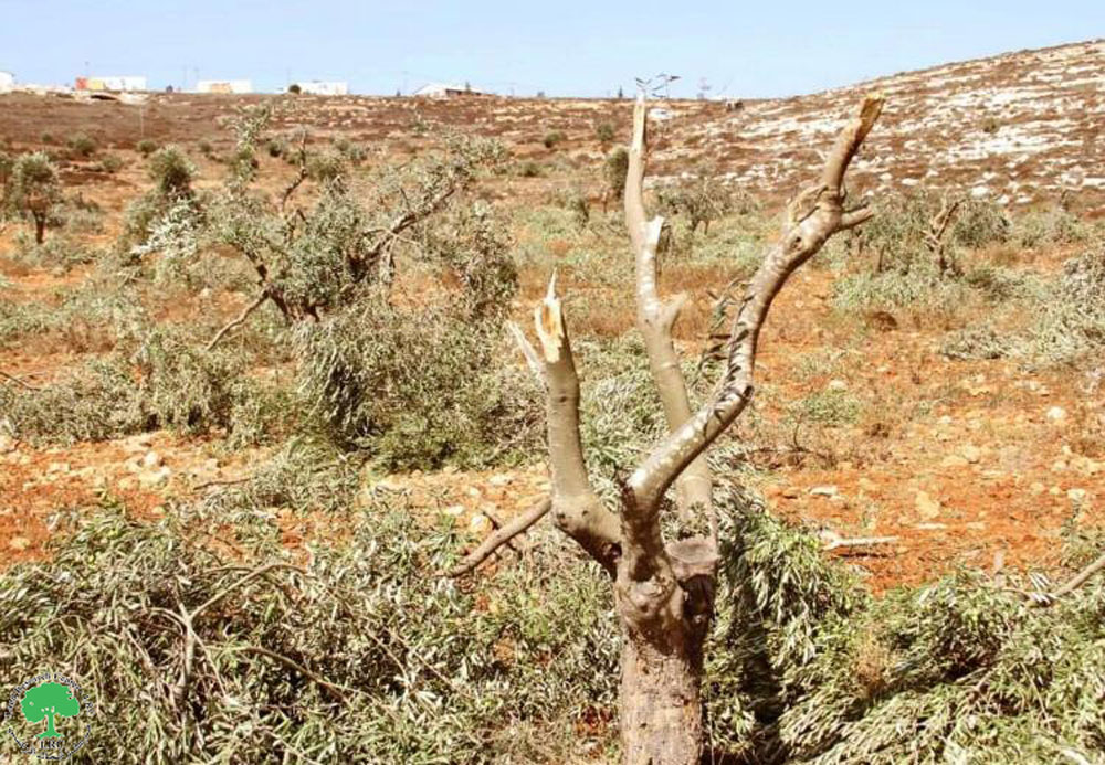
 Photo 1: The targeted road
 Photo 2: The military order
The town of Ya’bad:
Ya’bad is located 18 km to the southwest of Jenin.
Its population is 16,012, according to the 2017 census. Its total area is 29,572 dunums, of which 1,814 dunums are a built-up area.
The occupation has confiscated an area of 1,840 dunums of its lands, as detailed below:
- 483 dunums for the construction of the settlements of Mevo Dotan and Hermesh.
- 1357 dunums in favor of building bypass roads No. 596 and No. 585.
The lands of the town are classified according to the Oslo Accords as follows:
- Areas classified (A) 1674 dunums.
- Areas classified (B) 8124 dunums.
- Areas classified (C) 19774 dunums.
Legal Feedback:
The Occupation Authorities closures in West Bank governorates is a violation of Movement Rights imposed by international treaties:
Article 13 of Universal Declaration of Human Rights:
- Everyone has the right to freedom of movement and residence within the borders of each state.
2. Everyone has the right to leave any country, including his own, and to return to his country.
Article 5 International Convention of Elimination of all forms of Racial Discrimination:
(d) Other civil rights, in particular:
(i) The right to freedom of movement and residence within the border of the State;
(ii) The right to leave any country, including one’s own, and to return to one’s country;
The town of Ya’bad:
Ya’bad is located 18 km to the southwest of Jenin.
Its population is 16,012, according to the 2017 census. Its total area is 29,572 dunums, of which 1,814 dunums are a built-up area.
The occupation has confiscated an area of 1,840 dunums of its lands, as detailed below:
- 483 dunums for the construction of the settlements of Mevo Dotan and Hermesh.
- 1357 dunums in favor of building bypass roads No. 596 and No. 585.
The lands of the town are classified according to the Oslo Accords as follows:
- Areas classified (A) 1674 dunums.
- Areas classified (B) 8124 dunums.
- Areas classified (C) 19774 dunums.
Prepared by
The Land Research Center
LRC