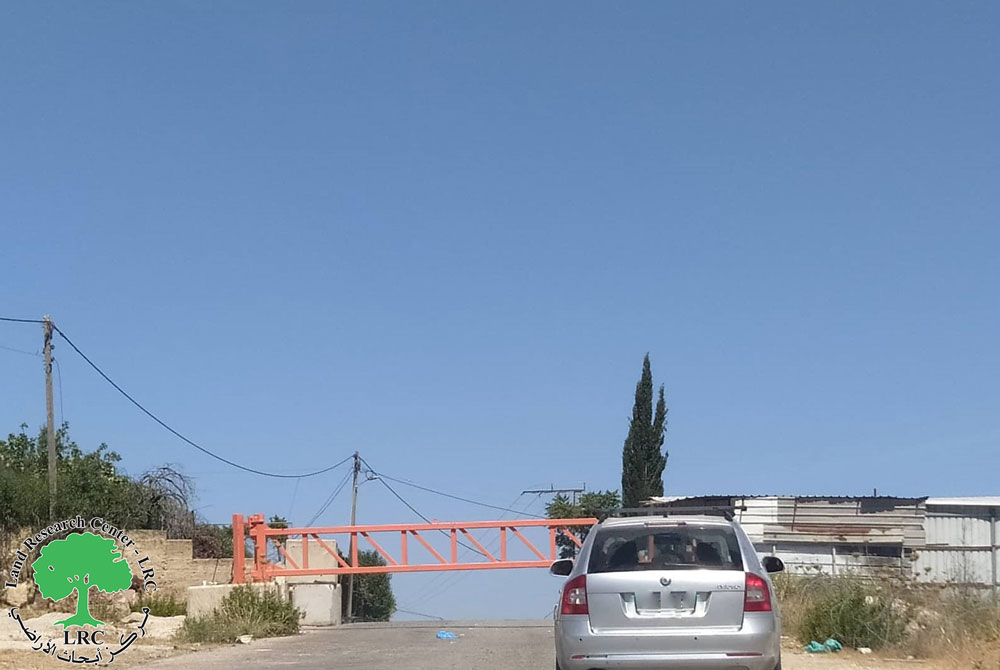
- Violation: Closure of agricultural and by-roads.
- Location: Ras Karkar village / North Ramallah.
- Date: February 10th 2020.
- Perpetrator: The Israeli Occupation Forces.
- Victims: people of the village.
Description:
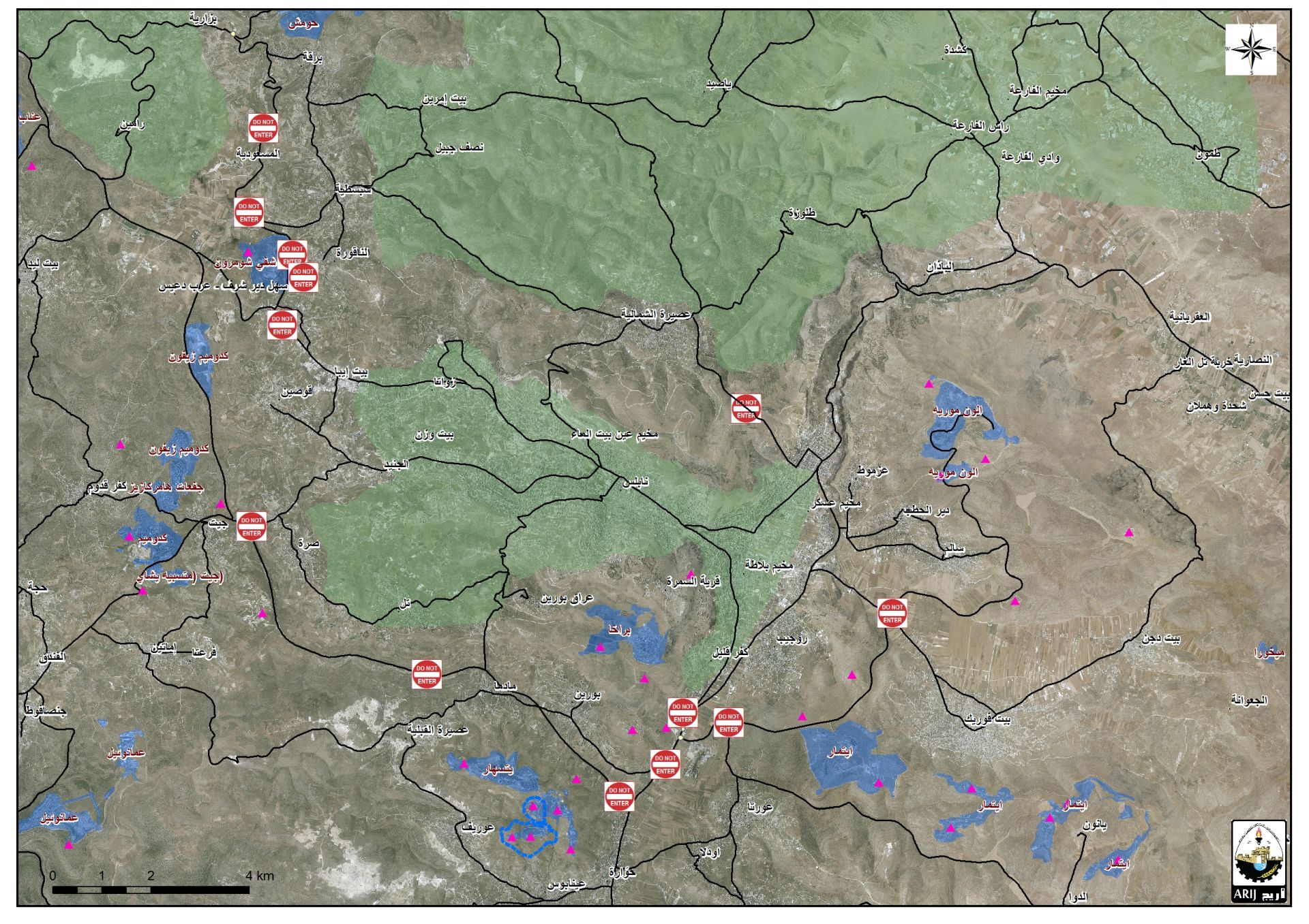
Monday evening, February 10th 2020, the Israeli occupation forces closed two by roads and an agricultural road in Ras Karkar North Ramallah.
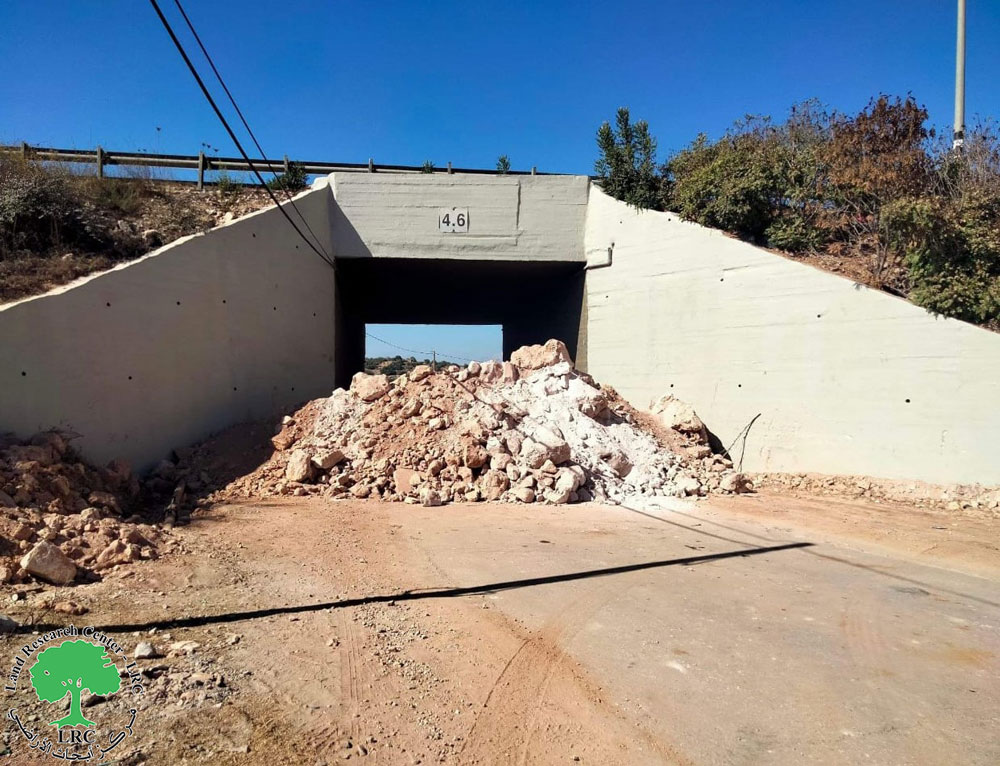
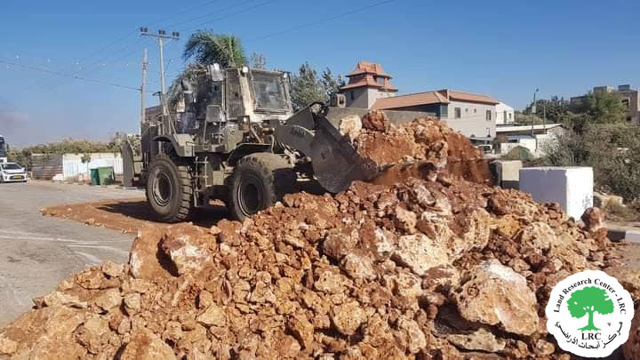
The occupation closed a byroad via earth mounds, it is located 15 m west the southern main entrance, the targeted road serves seven houses in the village, they also closed another byroad 200 m west the entrance, the road serves another two houses.
 Photo 1: The byroad road closed via earth mounds and hard rocks
Photos 2+3: The other byroad closed via roadblocks
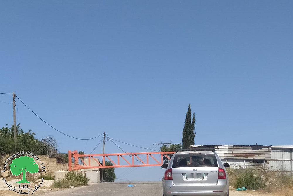
The occupation also set up a metal gate on a road close to the bypass that leads to “Nahliel” and “Talmon “, and completely sealed it off, the targeted road serves vast areas of olive groves.
 Photo 4: The road closed via a metal gate
Ras Karkar village council head Radi Abu Fkhaitha told LRC:
“There is an Israeli scheme to devour vast areas of the village lands , the village is surrounded by Israeli settlements , the occupation is heavily targeting the area with closure as collective punishment against citizens.”
Nazih Abu Fkhatha one of the village residents said: “the closure will create more suffering for people and farmers of the village who are now searching for alternative roads to cultivate their lands.”
Ras Karkar:[1]
15 kilometer north west of Ramallah, It is about 500 m above sea level, and has a total area of 5,050 dunums, of which 330 dunums are a built up area.
Ras Karkar is surrounded by Deir ‘Ammar (north), Kafr Ni’ma and Deir Ibziq (south), Al Jania (east), Bani Harth (west).
Ras Karkar has a population of 1956 people according to statistics conducted by the Palestinian Central Bureau of Statistics in 2017.
The Israeli occupation devoured more than 32 dunums of the lands of the village for Talmon C colony which was built in 1989. Moreover, bypass number ‘463 took over 295 dunums of the village lands.
According to Oslo Accords, 19% of Ras Karkar is under Area B (PA has full civil and security control) while most of the village lands (81%) is under Area C (Israel maintains full security and administrative control). Here is the area in dunums:
- Area B (940) dunums
- Area C (4110) dunums
International conventions and agreements related to freedom of movement:
Article 3 of the Universal Declaration provides that “everyone has the right to life, liberty and security of person.”
|
Article 5: |
|
No one shall be subjected to torture or to cruel, inhuman or degrading treatment or punishment. |
article 9 that “no one shall be subjected to arbitrary arrest, detention or exile”
Article 13: Right to freedom of movement
- Everyone has the right to freedom of movement and residence within the borders of each State.
- Everyone has the right to leave any country, including his own, and to return to his country.
[1] GIS-LRC
Prepared by


