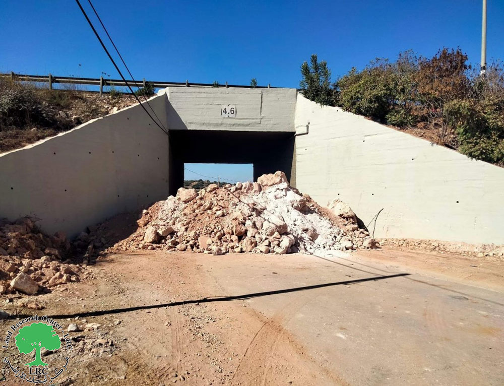
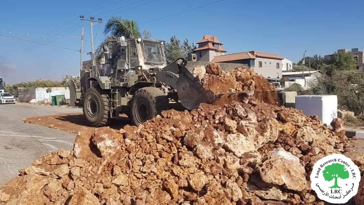
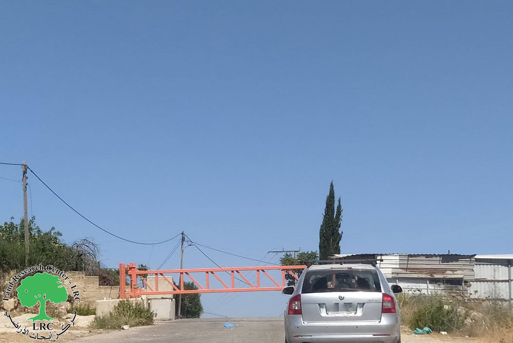
- Violation: closing agricultural road
- Location: Al-Matar area- Jericho
- Date: September 12, 2017
- Perpetrators: Israel's Occupation Forces
- Victims: farmers of the area
Details:
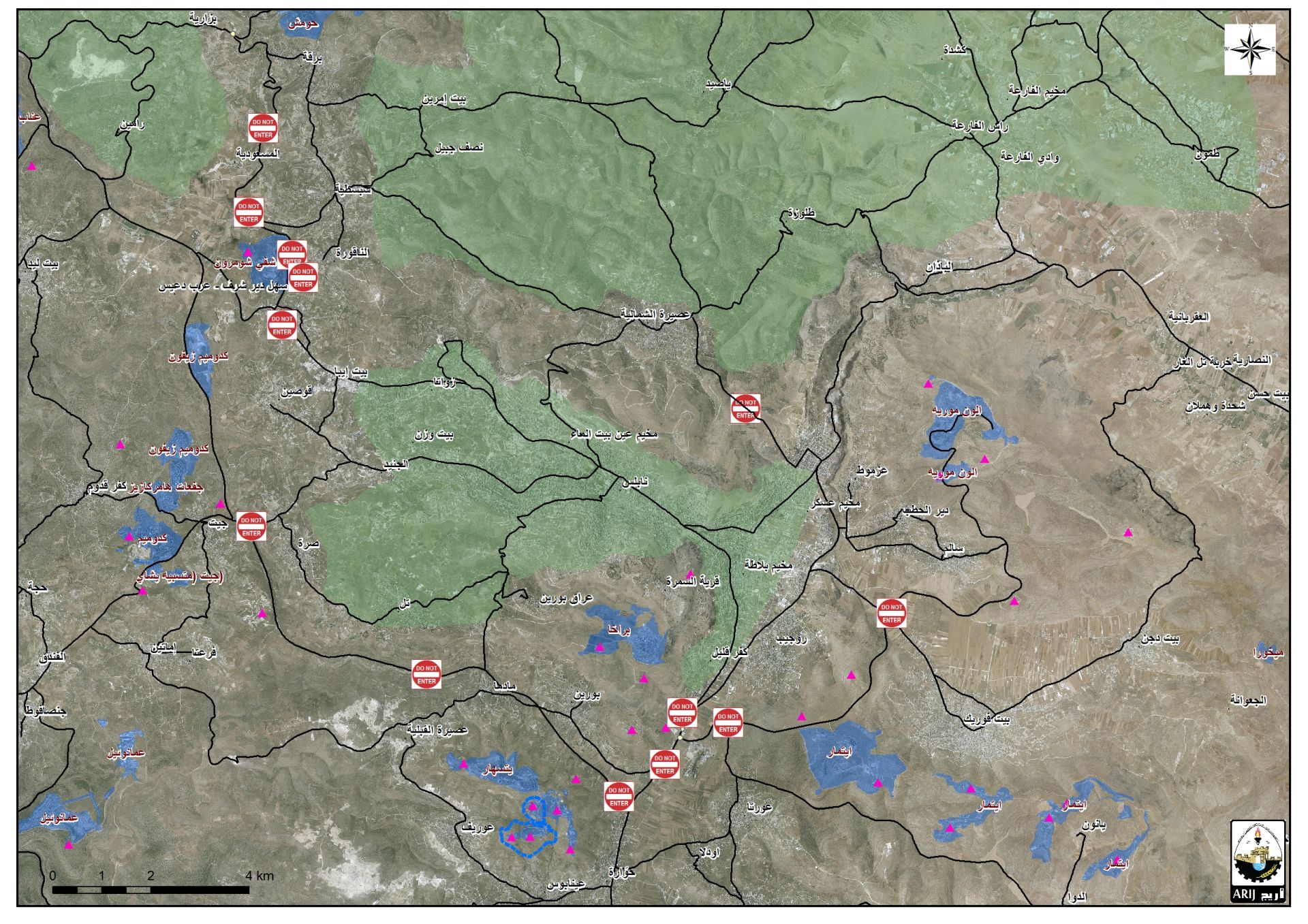
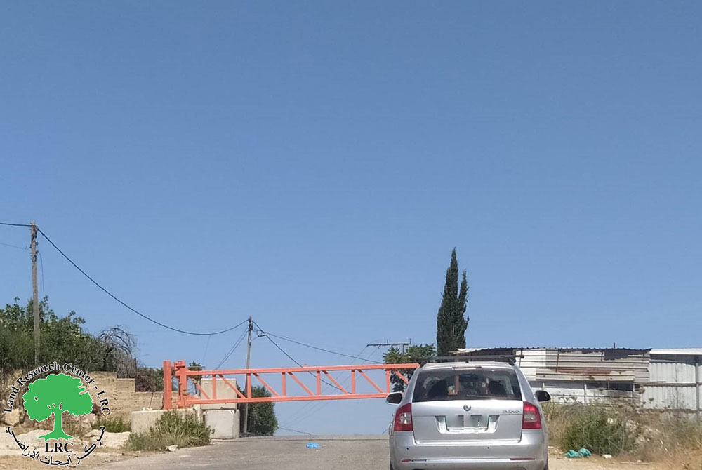
Israel's Occupation Forces closed on September 12, 2017 agricultural road in Al-Matar area, northeast Jericho governorate via earth mounds. It should be noted that the road was reopened after being sealed off for more than 16 years. Now, the occupation closed it again despite knowing its importance as a main road serving 280 dunums of palm farms. The road is reported to link the agricultural lands to the bypass road that penetrates Jericho namely "road 90". The road is used as a lane for trucks and facilitates the provision of production materials to the area. It should be noted that AL-Matar area witnessed a notable development at level of agriculture; especially regarding palms plantation.
About Al-Matar area:
It is of 280 dunums in area and used to be a military camp during the British mandate. The area was later transferred to the Jordanian Treasury Department, which intended to establish an airport on it.
In 1969, the Israeli occupation established a colony named Yasha' in the area, which was later dismantled in 1999.
In 2016, the so-called Israel Civil Administration imposed a rent policy on the area's farmers. They made farmers sign contacts to use the lands that were originally theirs but were taken via confiscation. The occupation constantly harass farmers on the claim of not paying rent. It is a systematic plan to forcibly displace Palestinians from the area.

 Photos 1+2: the closed agricultural road
Since 1967, the Israeli occupation worked hard to confiscate all water resources in the area Palestinian Jordan Valley "al-Ghoor" for the favor of the nearby colonies. Such colonies flourished at the expense of the nearby Palestinian lands.
Ever since that year, underground and springs water decreased until dried up. An observer can note how miserable the water currents of al-Auja area became; rubbish and dirt surface on top of the water currents.
Prepared by
The Land Research Center
LRC


