- Violation: closing a road
- Location: north Nablus city
- Date: February 22, 2017
- Perpetrators: Israeli Occupation Forces
- Victims: residents of the villages
Details:
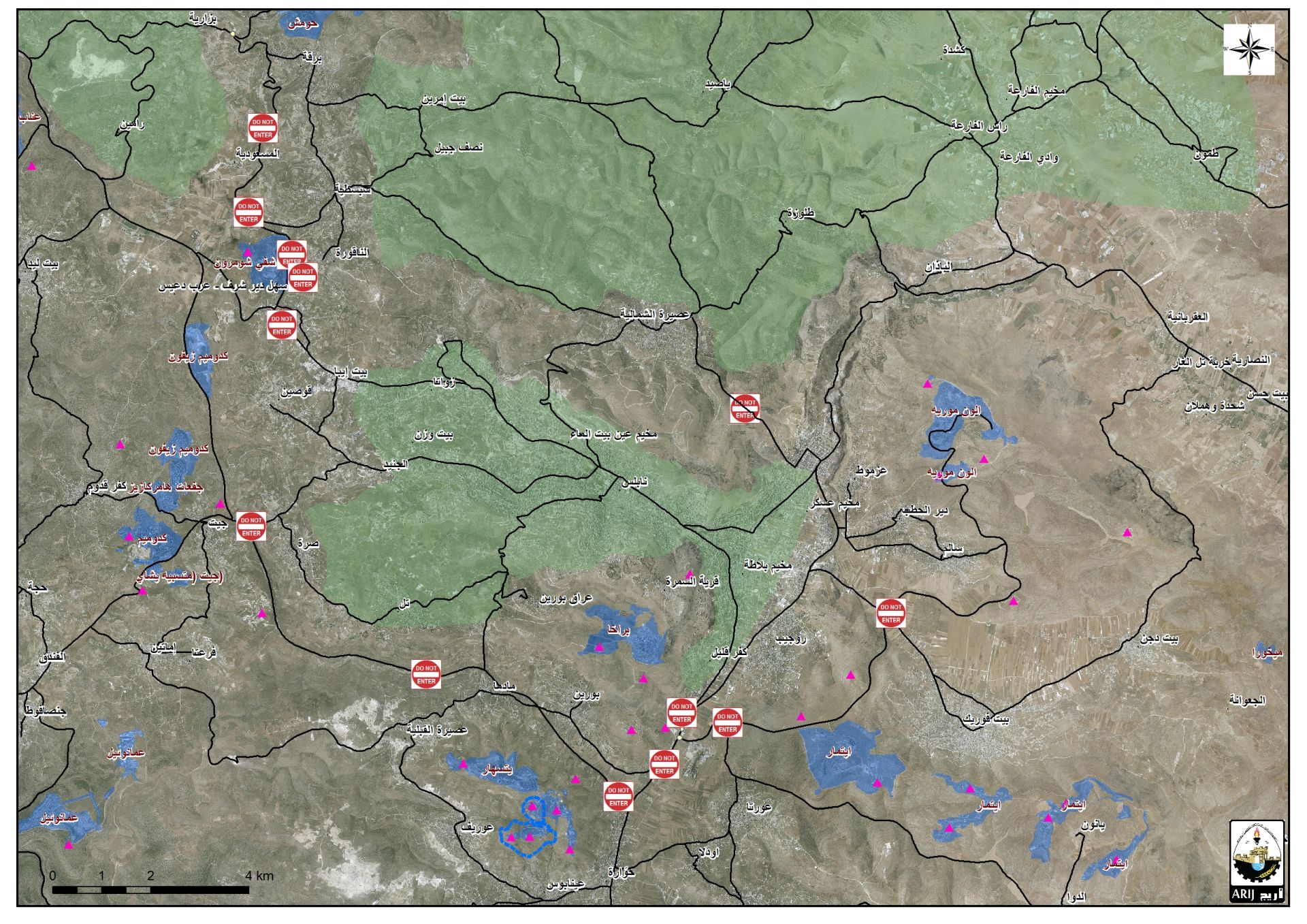
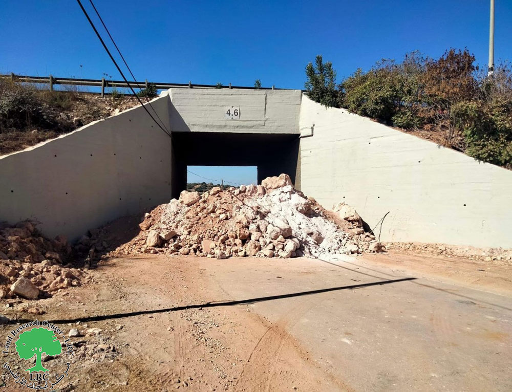
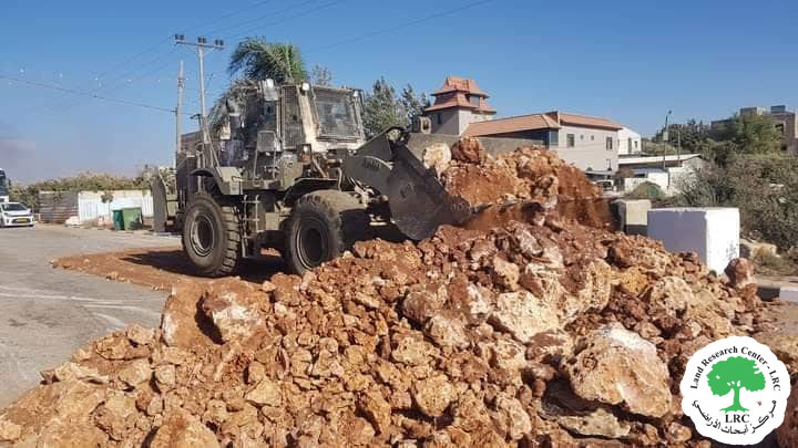
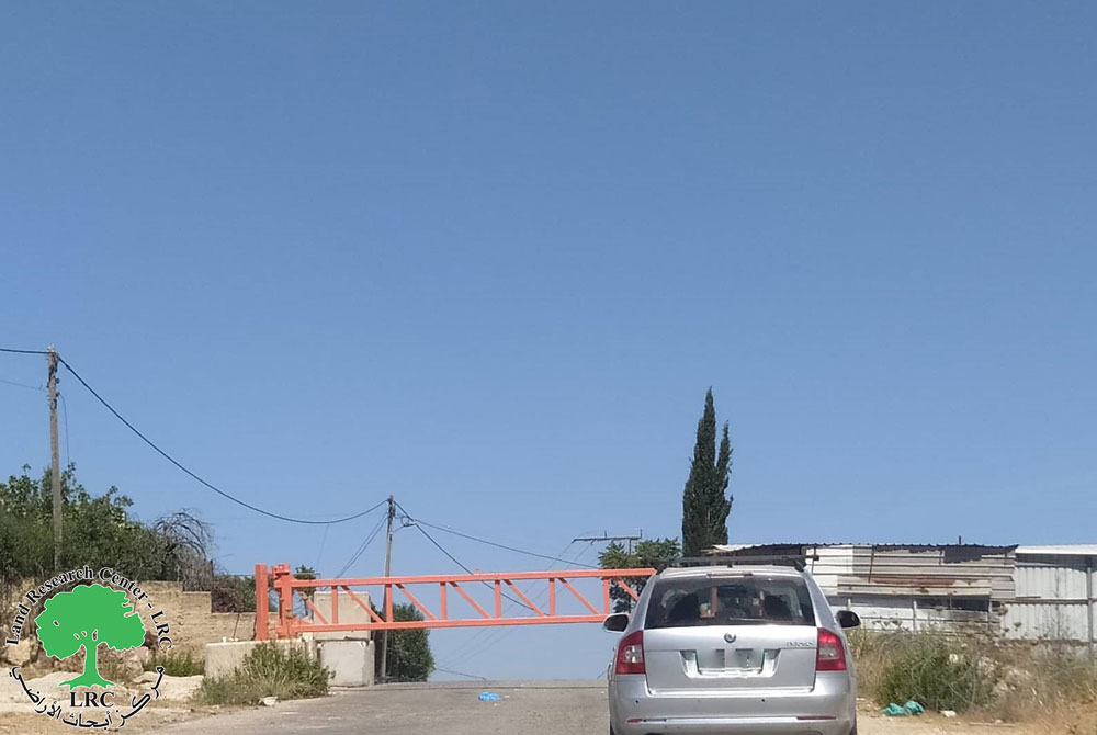
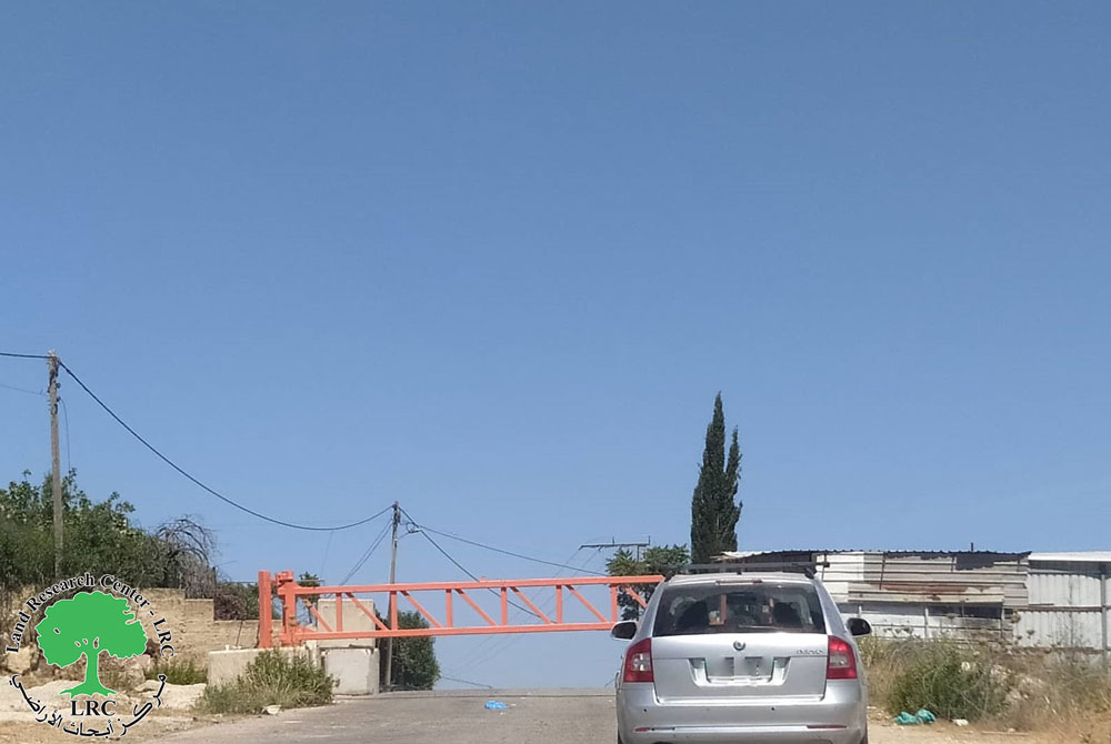
Israeli Occupation Forces closed ,on February 22, 2017, the road linking Ijnisinya village to Zawata village with earth mounds. It should be noted that the road is considered the linking point and also serves the villages of Sabastiya area, connecting them to Nablus city.
The occupation justified the closure on claims of "security purposes". Life of thousands of Palestinians got hindered as a result. Travelers and other citizens became obliged to take a substitute route that is longer and more fatiguing. It is reported that sealing off villages' entrances and closing roads is an Israeli policy to collectively harass and punish Palestinians. This methods was conducted since the aftermath of the second intifada of 2000.

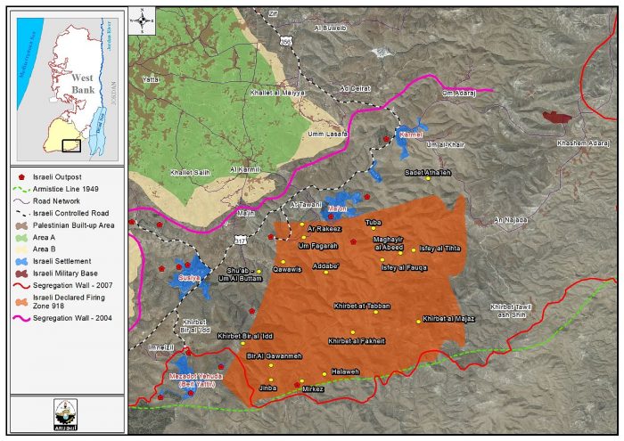
An aerial photo of the closure location
About Ijnisinya :
It is a relative to Sabastiya village and 2km to the northwest of Nablus city. It is bordered by Burqa and Beit Imrin from the north, An-Naqoura village from the south, Deir Sharaf t from the west, Asira Al-Shamaliya village from the east. The village populated 651 residents until 2014. It has a total area of 16,225 dunums, 184 of which are considered the village's built-up area.
About Zuwwata:
The village is 1km to the northwest of Nablus city. It is bordered by Al-Naqura and Sabastiya from the north, Beit Iba village from the west, Asira Al-Shamaliya from the east. The village populated 2417 residents (PCBS 2014). It has a total area of 3587 dunums, 269 of which are considered the village's built-up area.
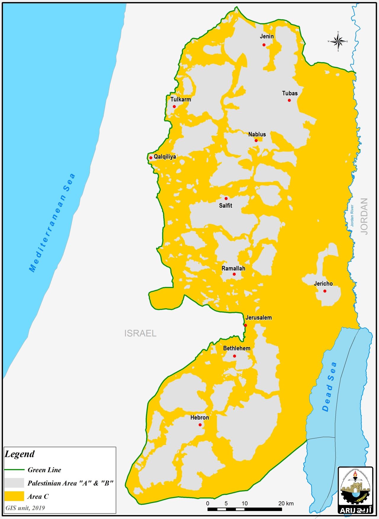
According to Oslo Accords, the lands of Zawata are classified as follows:
- 1071 dunums are considered area A
- 1184 dunums are considered area B
- 1332 dunums are considered area C
Prepared by
The Land Research Center
LRC


