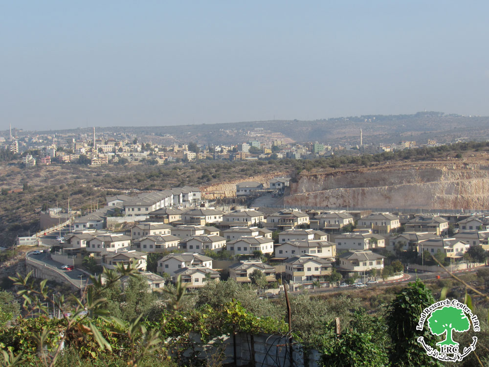
- Violation: advertising a new master plan for a colony
- Location: Al-Naqura village- Nablus city
- Date: September 05, 2016
- Perpetrators: so-called Supreme Planning Council-Israel Civil Administration
- Victims: residents of the area
Details:
The so-called Supreme Planning Council-Israel Civil Administration advertised -through Al-Quds newspaper- a new master plan no. 1/3/111 for the colony of Shavei Shamron. According to the advertisement signed by the responsible of Colonization Sub-Committee, Eng. Natalia Aburbukh, the targeted areas are located within the natural block no. 12; more specifically in part of the plot no. 84 in Al-Naqura lands.
The plan aims to add a military touch to the colony that was originally established on the ruins of a military camp. It also intends to change the status of some lands from open areas into areas for governmental buildings and schools.
Noteworthy, the plan allowed vertical expansion of construction in order to accommodate more colonists in the area.
Objectives of the plan:
- Change the status of some lands from open areas and residential areas to areas for governmental buildings ,schools and public institutions.
- Change the single residential units to double ones
- Change the use of some lands from open area and residential areas to public buildings area.
- Set up rules and regulations for construction within the plan
- Modify the lines of setbacks in the units no. 349-350


Photos 1-2: the colony of Shavei Shamron
Photo 3: the advertisement featured in AL-Quds newspaper, page 23, on September 05, 2019
Photo 4: the map attached to the plan no. 1/3/111

Photo 5: an aerial image of the colony and the new plan location
Shavi Shamron colony:
The colony was established over the ruins of a Jordanian military base 8 km to the north of Nablus. In 1967, the Jordanian military camp was assimilated by the Israelis and became a starting point for Israeli attacks on the area.
In 1977, the military camp had begun to transform to take a more 'civil' shape as colonists begun to reside there in caravans . Today, around 631 colonists reside in the colony on a total area of 2000 confiscated dunums from the natural block no.10 and6 from the village of Deir Sharaf and the natural block no.4 from Sabastiya village.( source: Deir Sharaf village council)
In 2005, the Israeli Occupation Army fenced the area around the colony and created a 'security buffer zone'; hundreds of dunums were consumed.
Prepared by
The Land Research Center
LRC


