- Violation: closing a road by earth mounds
- Date: January 03, 2016
- Location: Jourish village- Nablus
- Perpetrators: the Israeli occupation forces
- Victims: residents of Jourish
Details:
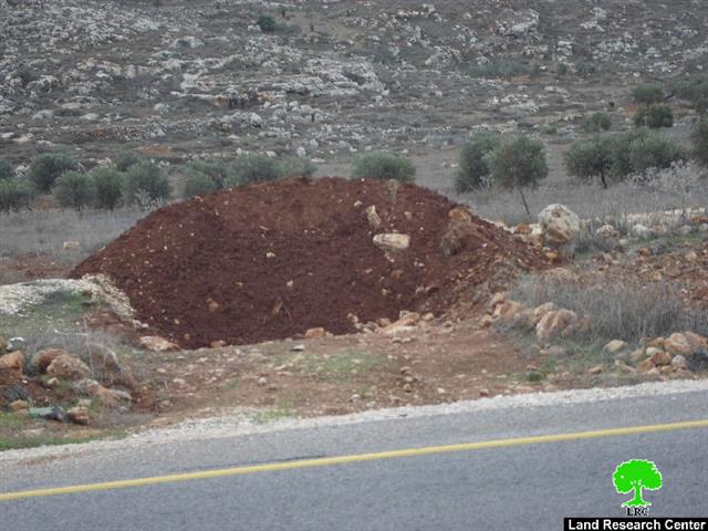
On January 03, 2016, the army of the Israeli occupation closed the agricultural road north to Jourish village that is adjacent to the colony of Migdalim by earth mound.
It should be marked that the agricultural road is 1.3km in length and 6m that serves people and links the village to the bypass road number 5 after the Israeli occupation closed the main road of the village by rocks on May 2014.
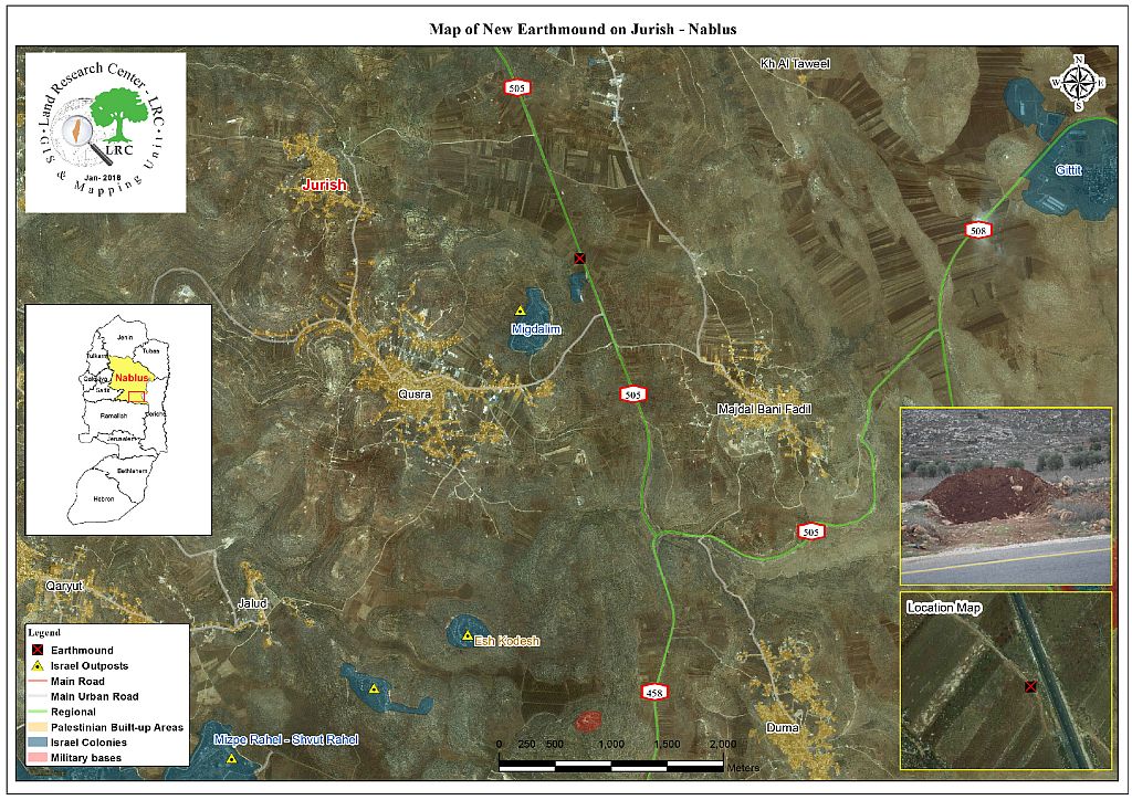
Map 1: the agricultural road north to Jourish village
Closing the two roads will impose hardships on the villagers and will add a total of extra 1.3 km of distance on travelers compared to the original route. It should be marked that most of the agricultural lands north of the village are threatened of confiscation for the favor of colonies’ expansion. Majdulim colony is an obvious example of the confiscation campaign which threats the whole southern suburb of Nablus.
About Jourish:
The village is founded to the southeast of Nablus and 27km away from it. It has a total built-up area of 320 dunums. As for the surrounding villages, there are Aqraba, Qablan, Majdal Bani Fadil, and Qusra. The area is famous for grains, fruits, and olive plantation.
The total area of the village including Kfra Atia village, located east of it, is 8200dunums and populates around 1870 people who depend on a water spring founded in the place to supply their needs.
Prepared by
The Land Research Center
LRC