Violation: Stop-work (construction) orders on a retaining wall and water cistern
Location: Qita' Kamel- Qusra/ Nablus governorate
Date: 11/05/2014
Perpetrators: The so-called Israeli Planning and Construction Committee
Victims: Anwar Awda
Details:
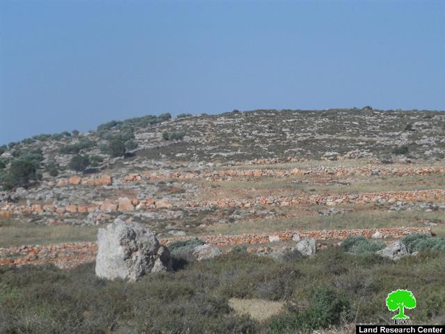
On May 11, the so-called sub-committee of Planning and Construction Committee served Anwar Awda (45) a military order to stop constructing a water cistern, 80 m3 in area in addition to a retaining wall, 300 m long under the pretext of unlicensed construction in area classified "C" according to Oslo Accords.
The Israeli occupation gave Awda a respite until July 07 as a final date to be done with the procedures of obtaining a building permit. Same day was set for the Planning and Construction Committee to meet in Beit El in order to discuss the legal status of the threatened structures.

Picture 1: Order no. 448 on the cistern and wall
About the ramifications of such an order, Awda asserted to an LRC field researcher the following: "I own a land that is only 1km away from the outpost of Yish Kodesh. At the beginning of 2014, I decided that I better protect my 10-dunum land from colonial plans and greed so I embarked on reclaiming it. I built a cistern to harvest rainwater and a retaining wall to fence the land. Both structures are going to be leveled since they lack a permit."
The area known as "Qita' Kamel", east of Qusra, witness attacks on almost a daily basis by colonists, especially those inhabiting Yish Kodesh outpost, northwest of the area. Colonists do not spare land, human beings, trees, nor agricultural tools from being attacked.
Mr. Hani Abu Raida, head of Qusra village council, asserted to an LRC observer that: "Qita' Kamel is a target by itself for colonists who have been trying to take it over. They used many heinous means for that purpose including smashing tools, shutting off agricultural roads, harassing farmers and denying them access, leading to the drought of vast areas of land as a result. All is done under the protection of the Israeli army."
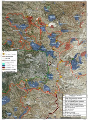
About Qusra:[i]
It is located 23 km to the south of Nablus city and is administered by Qusra village Council. Qusra is surrounded by Jurish (south), Talfit (west), Majdal Bani Fadil (east), and Mizpe Rachel colony (south).
Qusra is inhabited by 5644 people according to 2014 PBS population projections. Its total area is 8886 dunums that include 775 dunums of built up area.
The Israeli occupation confiscated 223 dunums of the village lands for the sake of:
- Migdalim colony that devoured 155 dunums. It was built in 1984 and is inhabited by 152 colonists.
- Bypass road no. 508 that took over 68 dunums.
According to Oslo Accords, Qusra is divided into area B (4323 dunums) and area A (4563 dunums).

[i] Source: Geographic Information System- Monitoring Israeli Violations Team- Land Research Center
Prepared by
The Land Research Center
LRC