Violation: establishing a new colonial quarter
Location: Jetit colony/ Nablus governorate
Date: 02/01/2014
Perpetrators: Jetit colonists
Victims: farmers of Aqraba
Details:
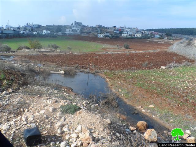
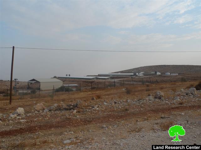
In synchronization with the Israeli legislatives council approval on the annexation of the Palestinian Jordan valley (al ghoor) to the state of Israel, the colonists of Jetit celebrated the establishment of a new colonial quarter. Noteworthy, Jetit is located on the lands of Aqraba town; more particularly on the natural block named “Lifjim”.
It should be mentioned that the suggested quarter is located within the areas confiscated under the pretext of “military zone” in the northern part of the colony.
In2001, the army of the occupation confiscated more than 30dunums from the colony periphery under the pretext of creating a security zone for the colony as claimed in the served order at time. After three years from the confiscation, colonists expanded in the lands by using the already taken land in plantation. Farmers of the Aqraba were denied the right to use land and plant it by the occupation.

Twelve years after confiscating large areas of lands and denying legitimate owners access to them under the pretext of military purposes as claimed by the occupation, a colonial expansion went under implementation through building new quarter. This is to prove that lands confiscation policy has been for the favor of Judaizing the Palestinian Jordan Valley.
Jetit populates around 119 colonists on a built-up area of 1060.6dunums. The colony is considered as agricultural within the area of al-ghoor and is expanding notably at the expense of Palestinians. It should be marked that in synchronization with the aforementioned colonial activities, the Israeli occupation has been active at demolishing agricultural structures (made of metal slabs and plastic sheds) of the Bedouin communities; especially Khirbet al-Taweel. The Khirbet witnessed a wave of demolitions that reached out a number of agricultural barracks. (Source: Geographic information system _LRC)
Prepared by
The Land Research Center
LRC