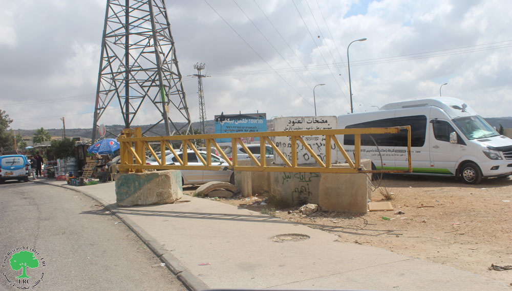
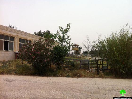
Violation: closure of agricultural lands.
Location: area known as ‘kilo 17′ near Husan roundabout and edging bypass road ’60’.
Perpetrators: Israeli Occupation Army.
Victims: villagers of al Khader village.
Details:
On May 8, 2012, Israeli dozers blocked agricultural lands near ‘km 17’ using cement blocks, rendering the lands unreachable. The lands edge bypass road ’60’, which connects Jerusalem with the Israeli colonies in south of the West Bank. It is obvious that the Israelis are planning to take over the targeted area.
Al Khader:
Al Khader is located 4.5 km to the west of Bethlehem city; it is connected by a road to the main road, Jerusalem – Hebron road which connects it to the surrounding cities. It is administered by a local council and is named after Saint George (Al Khader in Arabic). The village holds within a football stadium, a donation of the Portuguese Government; the work in the stadium started in 2000 through Bethlehem 2000 project, however, the construction stopped for a long time because of the second Intifada (uprising) events considering the location of the stadium near by-pass road (60). It was opened in 2007.
Area and Location:
Al Khader is 20100 dunums in area including 800 dunums of built-up area.
Previous violations:
The Israelis conquered 218 dunums of the village in 1948 and are trying to capture the rest of Al Khader fertile lands using the segregation wall. The Israeli authorities confiscated huge parts og Al Khader lands to construct Ezyon colony in 1967(4500 dunums in area inhabited by 461 colonists) and Daniel in 1983 (200 dunums in area).