Israeli occupation forces have placed marks and signs on the lands of the village of Wadi Al Rasha, south of the city of Qalqilia, as a prelude to start re-routing the southern section of the Wall surrounding the city. This section of the Racist Wall isolates 5 Palestinian villages and communities as listed below:
|
Name of Palestinian Community
|
Population
|
|
Ras Tira
|
410
|
|
Wadi Al Rasha
|
180
|
|
Al Daba’a
|
279
|
|
Arab Al Ramadien Al Janoubi
|
200
|
|
Arab Abu Farda
|
150
|
|
TOTAL
|
1,219
|
The re-routing came as a result of the legal steps and pressures carried out by the residents of the communities in cooperation with a number of rights organizations since 2002. Such steps led the so-called Israeli High Court of Justice to issue a decision in May 2006 to bring to an end the isolation of these communities through re-routing the existing Wall. However, it was embedded within the court decision that hundreds of dunums will continue to be isolated for the benefit of the nearby colony of Alfe Minshe.
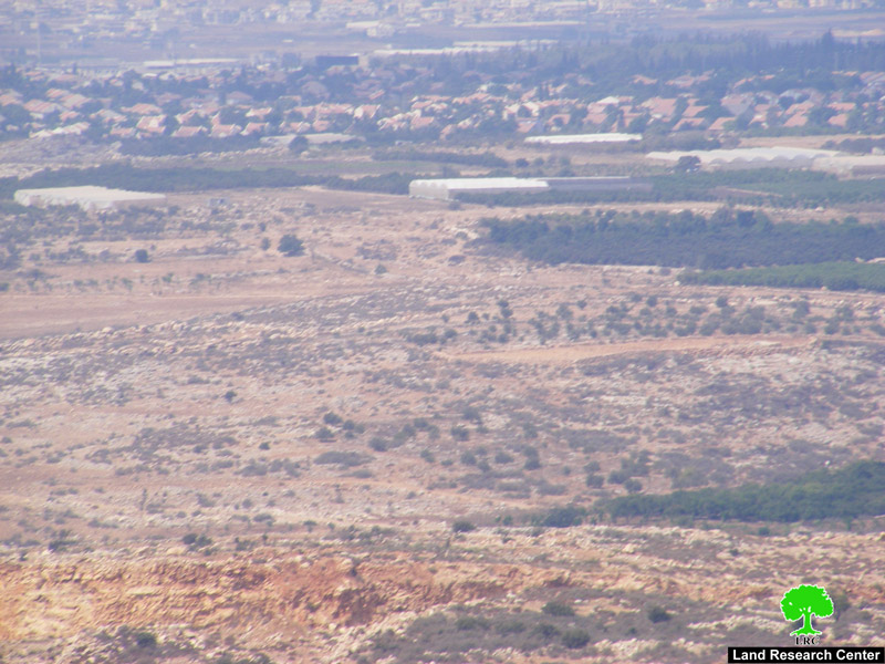
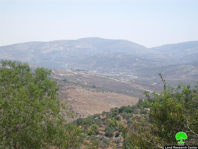
Photo 1: The colony of Alfe Minshe
The length of the re-routed section will be around 3290 meters, according to the UN’s Office for Coordination of Humanitarian Affairs (OCHA). In turn, the length of the current (old) section of the Wall is around 6,840 meters. The area of the agricultural lands that will be located below the Wall and those that will be isolated beyond it is approximately 2,350 dunums. Wadi Al Rasha stands to lose 80% of its lands while Ras Tira will lose 60% of its lands. The community of Arab Al Ramadien Al Janoobi will remain isolated behind the Racist Wall. It must be kept in mind that since May 2008 the Palestinians of Arab Al Ramadien have been under intense Israeli pressure to transfer them from their place of residency. That is despite the fact that the lands atop which they are living are owned by them and that they have been residing there even before the Israeli occupation of the West Bank in 1967.
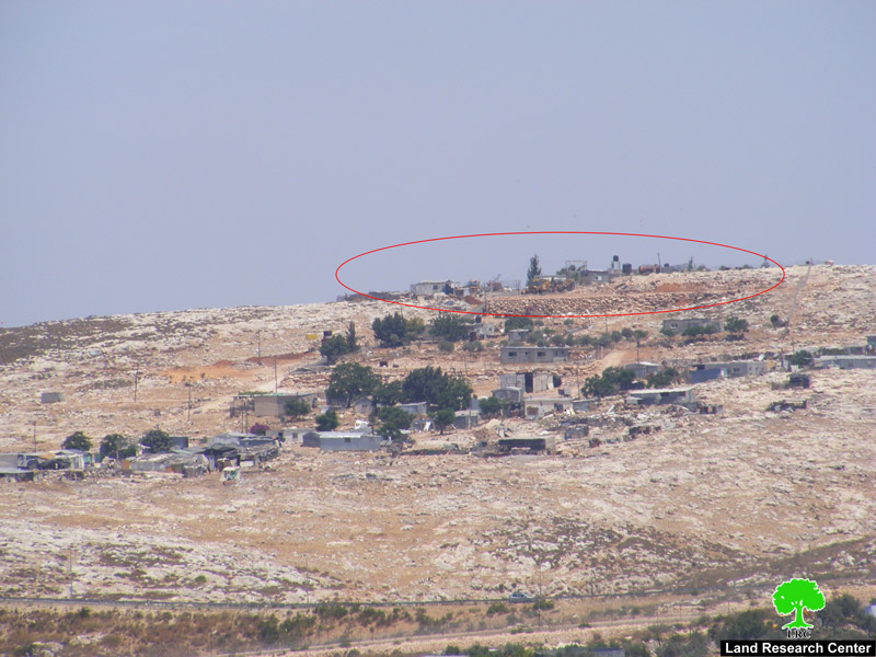
Photo 2: Israeli bulldozers plowing the lands of Arab Al Ramadien
Al Janoubi for the benefit of the Israeli Racist Wall
Al Janoubi for the benefit of the Israeli Racist Wall
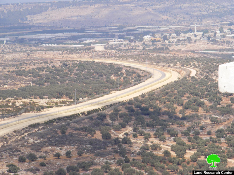
Photo 3: Part of the Isolation Wall in Ras Tira.
In addition, some parts of the newly-planned section will be located almost 100 meter away from some Palestinian houses in Ras Tira and Wadi Al Rasha. This fact effectively means turning the lives of its residents into a living nightmare as is the case in other communities living the same circumstances.
On the other hand, Israeli occupation authorities are allowing unhindered expansion of the colony of Alfe Minshe as tens of isolated Palestinian-owned dunums are being plowed as part of an expansion plan to place a large number of mobile caravans as well as factories atop them. Moreover, these authorities are planning to open up a new road to replace the By-Pass Road 55. The new road is planned to be established on the isolated lands of Ras Tira and Wadi Al Rasha which means the further destruction of Palestinian lands and the further entrenchment of the occupation.
The following table provides general information about the colony of Alfe Minshe:
|
Colony
|
Area in Dunums
|
Location/Villages
|
Year of Establishment
|
|
Alfe Minshe A
|
5433
|
Azzoun, Al Nabi Ilyas, Asla and Habla
|
1993
|
|
Alfe Minshe B
|
2,000
|
Ras Tira, Wadi Al Rasha, Al Daba’a
|
1992
|
Prepared by:
The Land Research Center
LRC
The Land Research Center
LRC