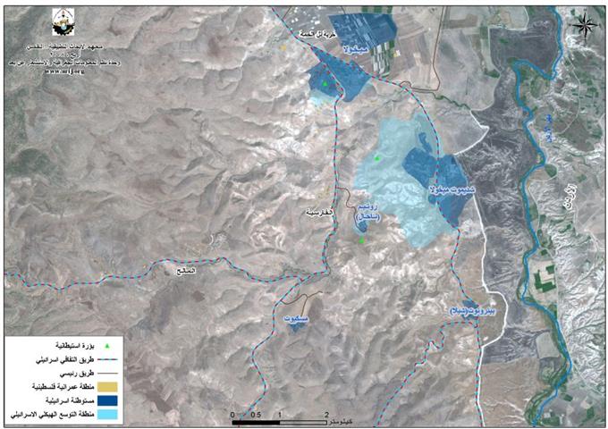
In June 2002, the Israeli Government launched its policy of unilateral segregation between Israel and the Occupied Palestinian Territory (OPT) by establishing a Segregation Zone along the western terrains of the occupied West Bank. The Israeli Segregation Zone covers substantial sizeable and significant land areas, rich with natural resources (water aquifers) as it runs along and through the western part of the West Bank from north to south, grabbing the most fertile agricultural lands, isolating Palestinian communities in enclaves, undermining the territorial contiguity between the Palestinian villages and cities, controlling the natural resources, and encapsulating most of the illegal Israeli settlements. At this time, an explanation of the term 'Segregation Wall' should be made obvious as it reflects two shapes of structures used by the Israeli Army to complete their territorial separation mission in the occupied Palestinian territory, it is either concrete partition of 8 – 12 meters in height or in the other case, and multi line fences are used. In both cases, the term Segregation Wall applies. To Read Full Report, click here
Prepared by:
The Applied Research Institute – Jerusalem


