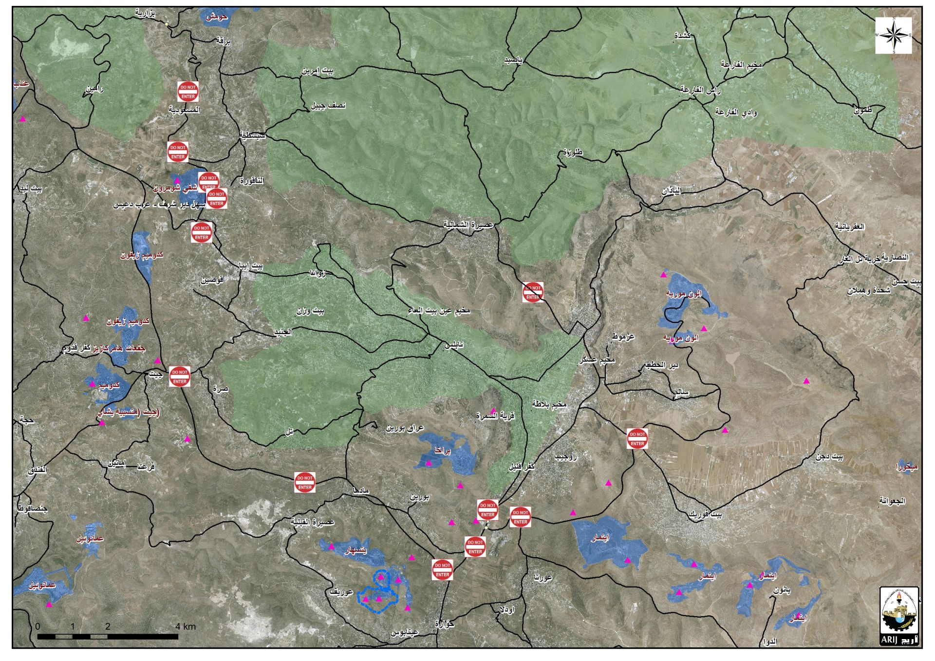
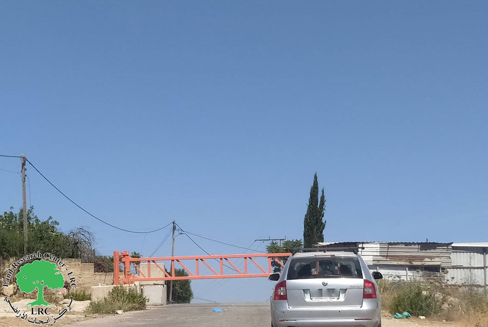
- Violation: Closure of 5 Agricultural roads.
- Location: Deir Istiya town / Salfit governorate.
- Date: April 5th 2020.
- Perpetrator: The Israeli Occupation Forces.
- Victims: People of Deir Istiya.
Description:
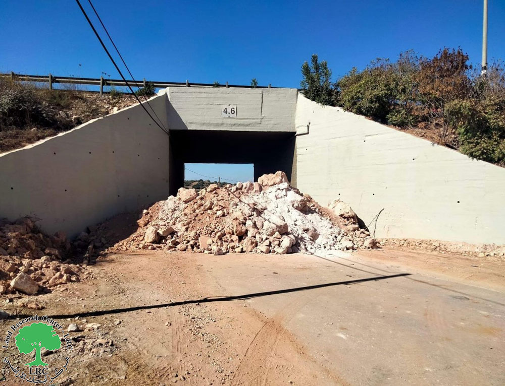
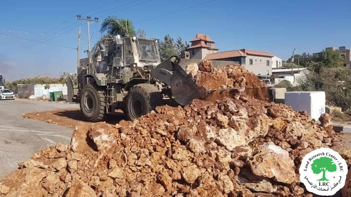
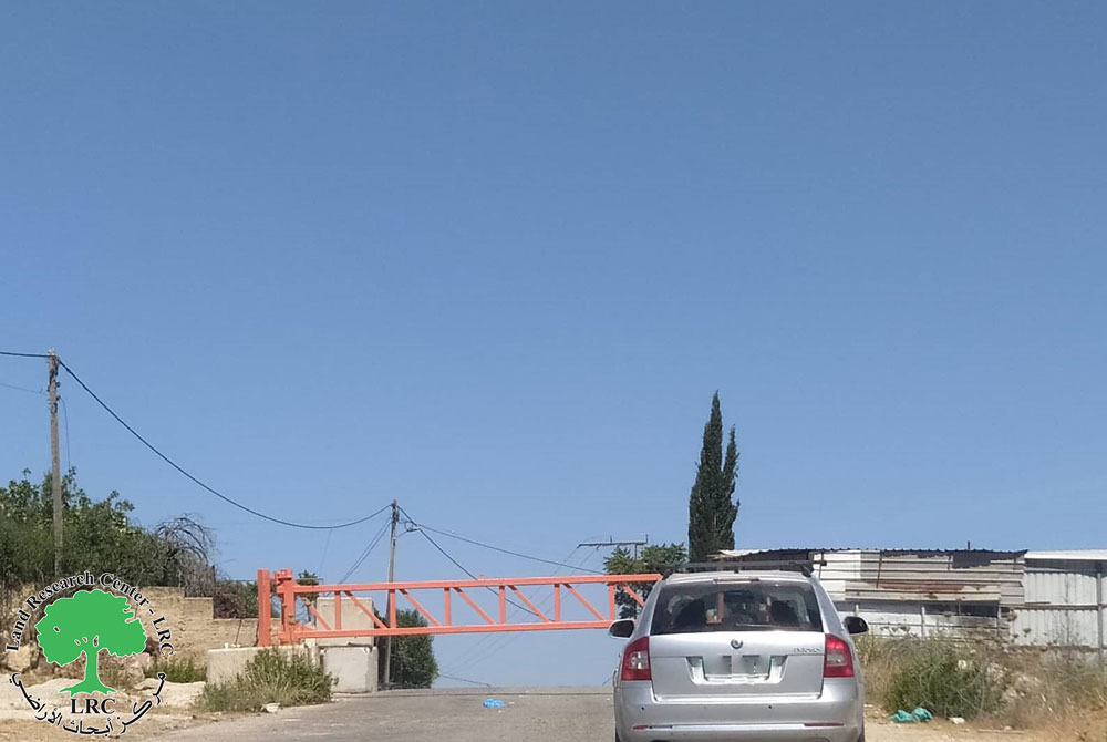
Sunday, April 5th 2020, the Israeli Occupation forces accompanied by an Israeli military bulldozer raided the western area of Deir Istiya village, the occupation forces closed off number of Agricultural roads.
 Photos 1+2 : Agricultural roads closed off by the occupation forces
Reportedly, the Occupation targeted the following roads:
- As-Sendat road – Khallet Najara: this road was Closed via cement blocks , and links the western neighborhood in Deir Istiya to the bypass road that penetrates Wad Qana (Bypass no 5066), this road serves tens of houses , knowing that it was closed between 2000 – 2016 , and was reopened then closed again.
- Qarawat Bani Husan road: The road serves Deir Istiya people to access their lands nearby Revava colony, closing the road will hinder access to 120 dunums planted with olives.
- Khallet Al-Boum road : The road serves vast areas of agricultural lands west the village , and was later closed via cement blocks which made it difficult for farmers to access their lands.
- Wad Al-Gharbi road: this road serves vast areas of agricultural lands west the village close to the bypass road, it was closed via cement blocks , this closure will hinder farmer’s access to their lands.
- Wad Ash-Shami road: closed via cement blocks, the blocks were set up on the junction that links the agricultural road to bypass 5066, closing it will hinder farmers’ access to 120 dunums of olive groves.
Deir Istiya village: [1]
10 km north Salfit , Deir Istiya is surrounded by Ematin , Jinsafut and Kafr Laqif (north), Azzun and Kafar Thulth (west), Zita, Jama’en and Kafl Haris (east), Haris and Qaraqwat Bani Hyssan (south)
Deir Istiya has a population of (3,696) people in 2017 census. The town has a total area of 34,125, of which 640 dunums are a built up area. The Israeli occupation confiscated (4,257) dunums for the following purposes:
|
Settlement name |
Establishment year |
Area in dunums |
Number of settlers 2018 |
|
Revava |
1991 |
167 |
2,664 |
|
Yakir |
1981 |
757 |
2,341 |
|
Ginat Shomron |
1985 |
944 |
NA |
|
Karnei Shomron |
1978 |
540 |
8,388 |
|
Novim |
1986 |
663 |
867 |
|
Immanuel |
1981 |
879 |
4,220 |
|
Ma’ale Shomron |
1980 |
52 |
1,002 |
|
Al-Matan |
1981 |
22 |
NA |
- Bypass roads 55 and 5066 devoured 118 dunums.
- The segregation wall (1,148 m ate up115 dunums , in case its construction plan was completed it will isolate 8,408 dunums and eat up 160 dunums.
Oslo accords classified Deir Istiya as the following :
- B area : 6,132 dunums.
- C area 27,993 dunums.
[1] GIS-LRC


