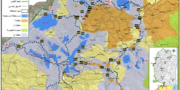
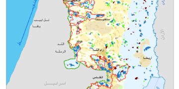
On June 2002, the Israeli Government launched its policy of unilateral segregation within the Occupied Palestinian Territory (OPT) by establishing a Segregation Zone along the western terrains of the occupied West Bank. The Western Segregation Zone is the area west of the Segregation Wall that reaches to the Green Line. The Israeli Segregation Zone covers substantial and significant land areas, rich with natural resources (water aquifers) as it runs along the western part of the West Bank from north to south, seizing the most fertile agricultural lands, isolating Palestinian communities in enclaves, undermining the territorial contiguity between the Palestinian villages and cities, controlling the natural resources, and encapsulating and protecting most of the illegal Israeli settlements. At this time, an explanation of the term “Segregation Wall” should be made obvious as it reflects two types of structures used by the Israeli Army to fulfill their territorial separation mission in the Occupied Palestinian Territory; Israel has built either 8-12 meters in height concrete partition or a multi line fence. In both cases, the term Segregation Wall applies.
Based on the characteristic nature of the area through which the Segregation Wall runs, the type of structure is determined based on whether the area is agricultural land or a densely populated village or town. The Segregation Wall as a fence cuts through vast agriculture lands. The Segregation Fence is more devastating to the land than the 8-meter wall as it requires an area of 40-100 meters in width to complete. Moreover, it is a double-layered fence, reinforced with barbed wires, trenches, military roads and footprint-detection tracks, and includes a 4-5 meter high electrified metal fence, equipped with security surveillance cameras. In the other case, in areas with sizeable population and/or in close proximity to the Green Line, the Segregation Wall consists of 8-12 meter high concrete partitions, with military watchtowers appendages lined-up 250 meters apart.
Moreover, the Wall separates 107 Israeli settlements, accommodating over 85% of the Israeli settlers’ population in the West Bank. These 107 settlements, built on confiscated Palestinian land, will be on the Israeli side of the Wall and have easy access to locations within Israel. On the other hand, 66 Palestinian localities (excluding the 30 Jerusalem localities) will be cut off from the West Bank and will not have access to Israel on the western side, thus they will be isolated in the Western Segregation Zone. The following table shows the status of the Segregation Wall in the West Bank:
|
Status |
Length/ km |
percentage |
|
Existing |
500 |
65 |
|
Under Construction |
15.5 |
2 |
|
Planned |
255.5 |
33 |
|
Total |
771 |
100% |
|
135 km (17.5% of the Wall's total length) runs on the 1949 Armistice Line (Green Line) |
||
For related infograph, click HERE
Prepared by:
The Applied Research Institute – Jerusalem


