The Israeli plan continues to separate Jerusalem from its surrounding Palestinian communities
Saturday 8th ,2001
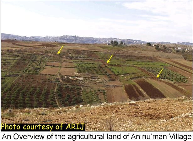
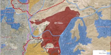
The Israeli bulldozers have not stopped their digging job in spite of all calls. Photos taken by ARIJ field workers, updated last Saturday 8th of December, clearly show the large agricultural losses that will be incurred as a result of the masses of land threatened to be confiscated by the Israeli authorities. Another 940m have been acquired towards building the road, leading to the confiscation of 140 dunums (14 hectares) in total. The yellow-black line on the original satellite image indicates the latest development in the construction of the road. See satellite image
Residents from An Nu'man village have reported that the plan behind constructing this road is to annex the village to the illegal borders of Jerusalem, as well as, maintain a buffer security zone around the southern borders of Har homa settlement. This, in return has adverse consequences on both land and residents of the village. The colonizing plan has separated the An Numan village from its Palestinian surrounding communities, and expropriated hundreds of rich agricultural lands. Latest photos of the new military road around Har homa Settlement.
12th of December.
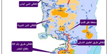
From what we have seen on the ground and by considering the fact that the Israeli government has already launched its unilateral separation of land between Palestinian territories and Israel, the new military road surrounding An'uman and Al-Khas villages will constitute the southern borderline of the illegal boundaries of Jerusalem municipality drawn after 1967 war. See satellite image .
Tracking the ends of the road wasn't an easy task. The road starts from the southern side of Har homa settlement until it reaches the hill of Der Al-Amoud, located in southeast Jerusalem. Both locations are outlawed for Palestinians without a permit, obtained from the Israeli authorities. ARIJ field workers managed to track the road and get some useful and clear pictures of the site.
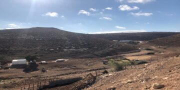
During the venture of being close to such ending points, ARIJ field workers have noticed a second military road with a total length of 2.5 Km. The ARIJ fieldworkers took the risk to enter the road and verify its ending points, hoping that no Israeli tank or bulldozer approaches the area. The fieldworkers found out that this road at a distance of 2.5 km away from its starting point joins the original military road at an intersection. The purpose of constructing this new road is not yet clear. See photo1 & photo 2
Data calculated from field survey (29/11-!3/12)
|
Total length of the road |
5 Km |
|
Total land threatened |
750 dunums (75 hectare) |
|
Total houses threatened |
5 |
|
Total length of the secondary road |
2.5 Km |
Source: ARIJ GIS database, 2001.
Five houses are located alongside the road; one of them is still under construction. These houses are under the threat of demolition or evacuation since they are built 3 to 20 meters away from the road only. See photo 3
It is worth mentioning here that residents from Al-Khas village confirmed that Israeli field surveys belonging to Jerusalem municipality inspected the land last year and gave one of them, whose house is still under construction, a written warning to stop the construction process. This house is situated 14 meters east of the digging line of the road. Thus, it is implicit that the plan to build this road started almost a year ago. Also, Israeli bulldozers closed the alternative road dug by An'uman villagers in order to reach the surrounding Palestinian communities. See photo 4
Prepared by:
The Applied Research Institute – Jerusalem


