- Violation: extending the validity of land grab
- Location: Abud village- Ramallah city
- Date: January 2017
- Perpetrators: Israeli Occupation Forces
- Victims: five families from the village
Details:
Israeli occupation authorities delivered on January 02, 2017 the military order no (T\2\96) for the Palestinian-Israeli District of Coordination Office that states an extension of validity on a 34 dunum land grab from Abud village. Noteworthy, the order was issued on the claim of "security purposes". It should be marked that the order was issued in 2016 but delivered to the Palestinian side in 2017.
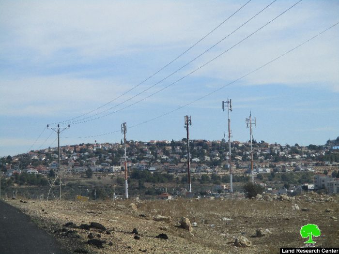
It is reported that the targeted lands are located within the natural block number 5 from the lands of Ras Kneifeh area. More specifically, the lands are founded at the southern entrance of the town, which leads to an Israeli bypass road. The actual confiscation of lands occurred in 1996 through a military area. At time, the occupation established a watchtower and a metal gate on the claim of maintaining the security of the nearby Ofarim colony.
According to the data of Abud village council, the targeted lands belong to the following:
|
Owner of land |
Area of confiscated land |
|
Majdi Mis'id |
9 dunums |
|
Saed Antof |
11 dunums |
|
Adnan Dar Salah |
4 dunums |
|
Mis'id Bsheiryeh |
6 dunums |
|
Musa Saba |
4 dunums |
About Abud village:
36.5 km to the northwest of Ramallah city, Abud is edged by Bani Zaid and Al-Lubban Al-Gharbi villages from the east, Rantis village from the west, Al-Itihad and Bani Zaid from the east and Deir Abu Mash'al and Shuqba from the south. With a total land area of 16654 dunums, 474 of which are built-up area, Abud populates 2667 people (2016 census). Israeli colonies devoured 867.5 dunums from the villages lands, where Israeli bypass roads confiscated 1478 dunums and isolated 748 others from the village. The apartheid wall isolated 2,411.5 dunums behind its structure. The below table shows information about the colonies founded on Abud lands:
|
Colony |
Year of establishment |
Population |
Area of confiscated lands from Abud |
|
Ofarim |
1988 |
870 |
402.5 |
|
Beit Arye |
1981 |
2,522 |
465 |
|
Total |
3,392 |
867.5 |
|
According to Oslo Accords, Abud lands are classified as follows:
- 2279 dunums are classified as area B
- 12375 dunums are classified as area C
Prepared by
The Land Research Center
LRC


