- Violation: closing a village entrance
- Location: Sinjil village- Ramallah
- Date: November 22, 2015
- Perpetrators: Israeli Occupation Forces
- Victims: residents of the village
Details:
The Israeli occupation authorities have recently escalated collective punishments on Palestinian civilians to reach to the ultimate goal of taking the land over and creating facts on the ground.
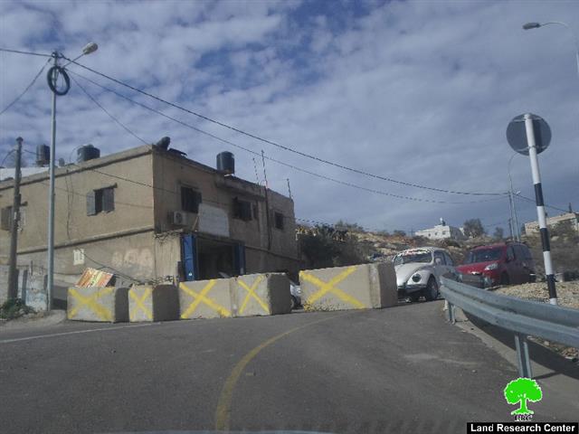
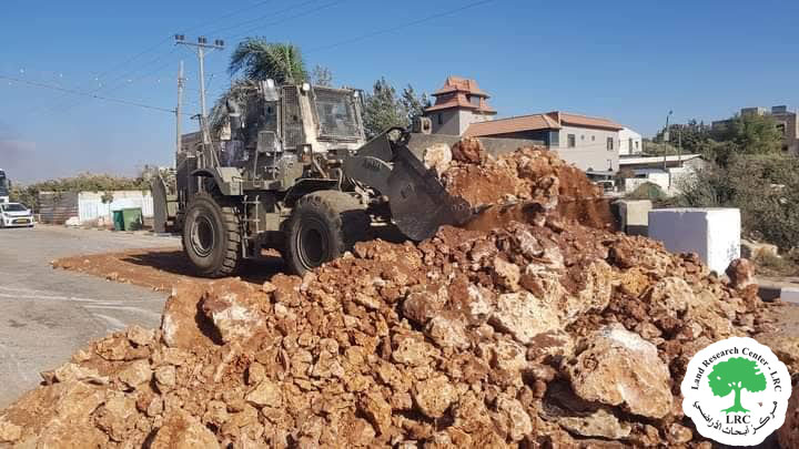
It should be marked that the Israeli occupation forces reclosed on November 22, 2015 the main entrance of Sinjil village that is founded in the eastern side by road blocks on the claim of "Security Purposes". Noteworthy, this step comes within an Israeli plan that aims at separating Palestinian communities from each other.
It is indicated that the latest closure on the entrance came after less than three months from being reopened by the occupation . Before that time, the entrance was closed for a period of fifteen years.
Noteworthy, closing the entrance will force the residents of the village to take substitute roads, which will double the traveling time and physical fatigue.
Map 1: the closed entrance of Sinjil village
20 kilometer north of Ramallah, Sinjil is surrounded by Al Labn Ash Sharqia (north), Jaljilia (west), Qaryut and Turmus'ayya (east), and Al Mazr'a Ash sharqia (south).
Sinjil has a total population of 5236 people according to statistics conducted in 2007. It has a total area of 14028, 888 of which are a built-up area of the village.
The Israeli occupation devoured 551 dunums of the lands of the village for two colonies. The first one is Maale Levona which was built in 1983 and confiscated 298 dunums of the village. It is inhabited by 497 colonists. The second is Eli which was built in 1984 and devoured 253 dunums. It is inhabited by 2058 colonists. Moreover, bypass number '60 took over 246 dunums of the village lands.
According to Oslo Accords, 14% of Sinjil is under Area A (PA has full civil and security control) while 30% is under Area B (PA is in charge of civil matters with Israel responsible for security). However, most of the village lands (56%) is under Area C (Israel maintains full security and administrative control). Here are the area in dunums:
- Area A (1980) dunums
- Area B (4140) dunums
- Area C (7908) dunums
Prepared by
The Land Research Center
LRC


