- Violation: closing the entrances of Awarta
- Location: Awarta village- Nablus
- Date: February 10, 2016
- Perpetrators: Israeli Occupation Forces
- Victims: residents of the village
Details:
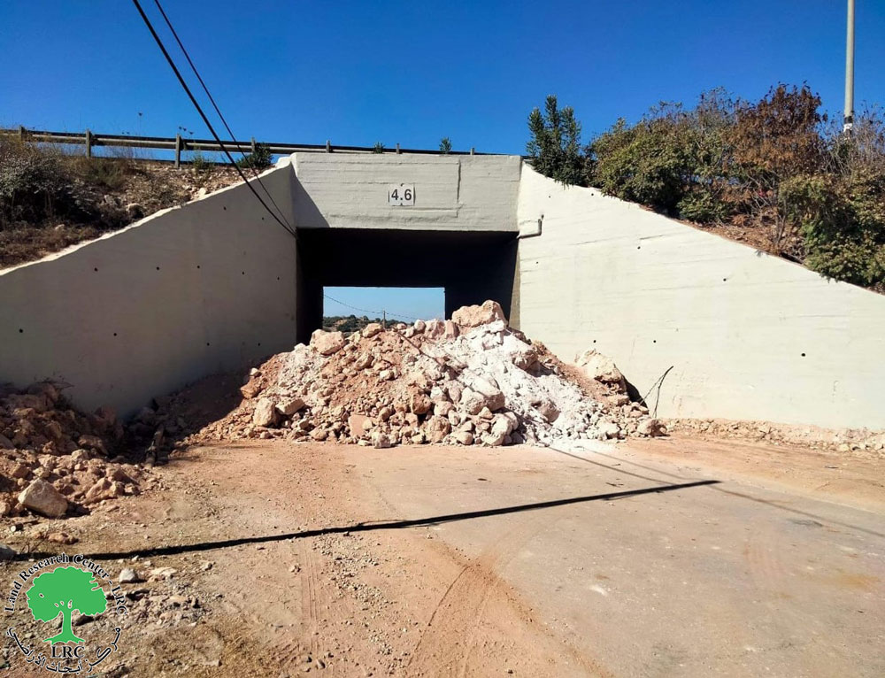
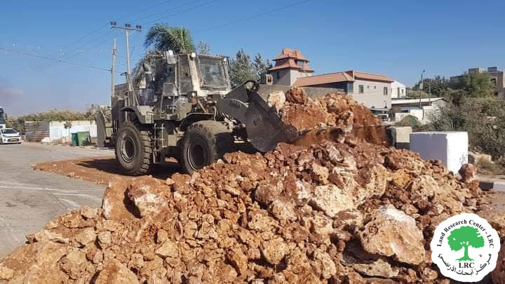
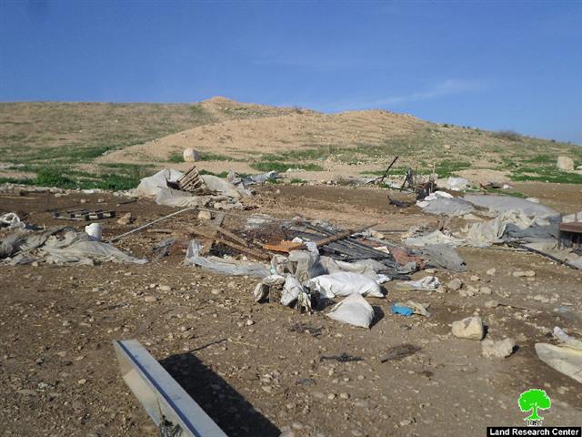
Israeli Occupation Forces on February 10, 2016 closed the western entrances of Awarta by earth mounds. Noteworthy, the closed entrances link the village to the bypass road number 60, which passes by the Nablus town of Huwwara.
It is reported that closing the road will increase the residents' suffering and others in the neighboring towns and villages. Movement and transportation will be extremely limited and restricted, which will negatively affect the educational and economical sectors.
The occupation justified the closure on the claim of "security purposes".
Setting up a metal gate:
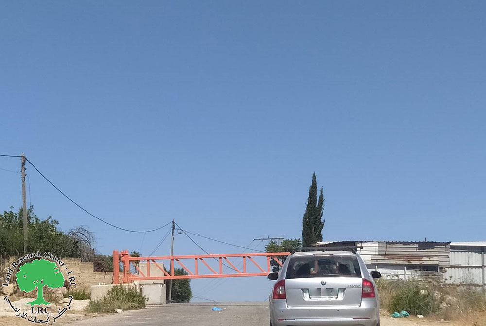
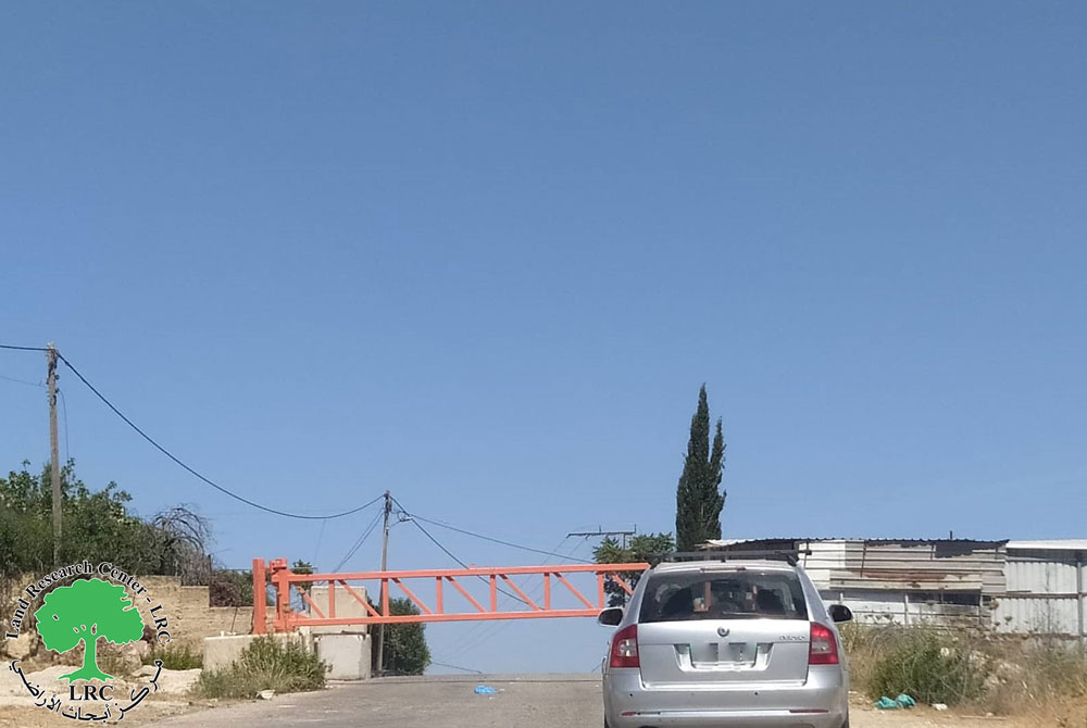
The southern part of Awarta got its entrance blocked by a metal gate. This Israeli measure serves at humiliating and isolating people from the nearby and relatives in a step to impose a de facto on the ground that will be impossible to tackle in future talks between Israel and Palestine.
It should be marked that the closed roadentrance is a linking point between the villages of the southern suburbs and Nablus city. The villages are Awarta, Odla, Aqraba and Beita.
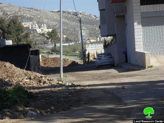
Photos 1+2: the metal gate at the northern entrance of Awarta
Photos 3-4: the earth mounds at the western entrance of Awarta
About Awarta:
It is located 7km to the southeast of Nablus city and is considered the historical gate to the valleys and mountains of Nablus. The village is edged by Beit Furik from the north, Beita from the south, Huwwara from the west and Aqraba from the east. Awarta overlooks 12 Palestinian villages in addition to Nablus city; part of the village’s land is founded within the municipal borders of Nablus.
The village’s total land area is 15,051 dunums, of which 653 dunums are Awarta’s built-up area. Awarta is famous for its fertile soil, Roman olive trees and wheat and barley plantation. Awarta has a total population of 5623 people (2007 census). Noteworthy, the Israeli Forces confiscated around 2,388 dunums for the favor of nearby colonies.
It should be marked that big part of the villages residents depend on agriculture and livestock as main source of income. The village is composed of a number of families namely ( Awwad, Qawariq, Darawshih and Sharab). Source: GIS department -Land Research Center
The village of Awarta lacks infrastructure and water supply network, taking into account that the village is founded on a huge water stack. Residents of Awarta depend on rainwater harvesting cisterns and water trucks, which are considered expensive. Noteworthy, it is reported that a water reservoir is being built in the area of Sahel Ruaijib to support the area; the reservoir is funded by one of the international humanitarian organizations.
Three historical shrines that relate to the Mamlouk time are founded in the village of Awarta. The Israeli occupation authorities Judaized those shrines and gave them Israeli names. (Awarta village council).
Land Research Center sees the closure as a restriction to the right to movement and that it contradicts all international conventions of related such like :
The Universal Declaration of Human rights1948:
- Article 3: Everyone has the right to life, liberty and security of person.
- Article 9: No one shall be subjected to arbitrary arrest, detention or exile.
- Article 13:
- (1) Everyone has the right to freedom of movement and residence within the borders of each state.
- (2) Everyone has the right to leave any country, including his own, and to return to his country
The International Covenant on Civil and Political Rights:
- Article 7 prohibits torture and cruel, inhuman or degrading punishment.
- Article 9 recognizes the rights to liberty and security of the person. It prohibits arbitrary arrest and detention, requires any deprivation of liberty to be according to law, and obliges parties to allow those deprived of their liberty to challenge their imprisonment through the courts
Prepared by
The Land Research Center
LRC

