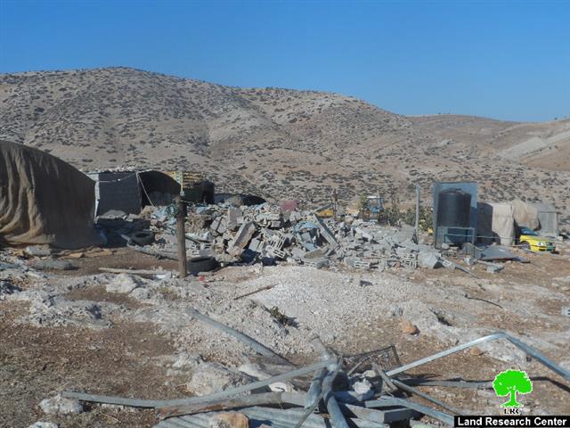
Violation: farmers denied from using lands of the evicted camp of Dotan
Date: August/ 2014
Location: Arraba town/ Jenin governorate
Perpetrators: the army of the Israeli occupation
Victims: residents of Arraba
Details:
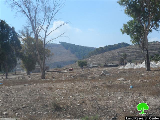
The occupation is still banning residents of Arraba from using their agricultural lands on which a military camp was established from 1967-2009. The total area of those lands are about 100dunums the major part of which was claimed State Lands where the other part was claimed private property that the occupation confiscated in order to establish a camp on. The camp is located in the eastern part of Arraba, more specifically in the area known as el-Krinat.
Photos 1-3: the evicted camp of Dotan
Hopes met with rejection:
The mayor of Arraba Adnan Mosa to the LRC researcher stated the following: "after having the camp, that is located on the northern entrance f the village, evicted in 2009, the Israeli occupation is still banning residents of the village from using their lands. Not only that, the occupation also comes every now and then to stay for a while in the camp where they kick out whoever is in there without any reason andor justifications.
He also stated that: " there are plans proposed by the village council to establish a fun land or an industrial zone that enhance the economy of the area but the occupation refused such a developmental project; being present at the area on daily basis and banning farmers access to the location is how they hindered the plan's implementation.".
Looting the soil and moving it inside Mevo Dotan colony:
Mr. Adnan Mosa also asserted that many Israeli trucks were seen moving the soil from the camp location towards the colony, which is 3km away from it. That is for the sake of using the soil for planting the lands of the colony. The occupation, by doing so, proves day after day on its land confiscation and Palestinian nature destruction policy and reflects the lies used to fool people in the public opinion.
About Arraba:
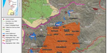
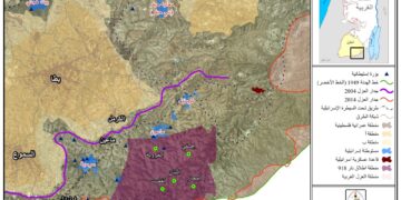
Arraba is located 12km southwest of Jenin city. It is surrounded by both colonies; al-Manshiyya and Kufeirat (north), Fahma, al- Hafira, and Al Damayra towns (southwest) and Fahma and Al Jadida towns (south).
It has a population of 12,792 people until 2014 and has a total area of 33,436 dunums , 1195 of which are built-up area. 1514 dunums were confiscated by the occupation as follows:
Mevo Dotan colony : it was established in 1987 and is inhabited by 289 colonists, it took over 696 dunums of the village's lands. There is also an army camp for the occupation in the southern part of the town, which is founded on an area of 129 dunums . The colonial roads also confiscated 370 dunums for the favor of the bypass road no.585.
According to Oslo Accords , the village lands are classified as :
(13869) dunums are classified as areas "A"
(3916) dunums are classified as areas "B"
Prepared by
The Land Research Center
LRC

