Violation: demolishing a restaurant.
Location: al Makhrour – Beit Jala.
Date: May 3, 2012.
Perpetrators: the so-called Organization and Construction Committee.
Victim: Nakhla Qisiyya.
Details:
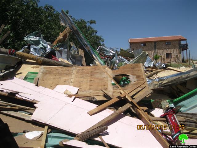
At dawn, on May 3, 2012, Israeli troops and a dozer demolished a 340-m2 restaurant in al Makhrour area on the pretext on unlicensed construction. The restaurant was the sole source of income for Nakhla Qisiyya’s family (5 members). The family has been trying to obtain a license for a while but their efforts were futile. The losses are estimated be around 350,000 ILS.
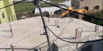
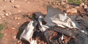
Picture 1-5: demolition
Beit Jala:
It is located 1 km to the west of Bethlehem and 8 km to the south west of the Occupied City of Jerusalem. 3147 dunums (22%) of the town’s lands were confiscated to expand the borders of ‘greater Jerusalem’ and a number of surrounding colonies including:
- Gilo: it was established in 1971 to cover around 2738 dunums in area nowadays. 1117 dunums are part of Beit Jala lands. The colony is inhabited by 31500 colonists.
- Har Gilo: it was established in 1972 to cover around 420 dunums in area nowadays. 314 dunums are part of Beit Jala lands. The colony is inhabited by 414 colonists.
Area and Location:
Beit Jala is inhabited by 16700 Palestinians (PCBS). Its total area is 14337 dunums divided into 6142 dunums (area ‘A’), 91 dunums (area ‘B’), and 8104 dunums (area ‘C’) (Oslo Interim Agreement 1995).
Al Makhrour:
Al Makhrour is a valley located to the west of Beit Jala; it has been targeted by the Israelis since the first days of occupation because of its strategic location. It is surrounded by the bypass leading to the Occupied City of Jerusalem (east), al Walaja (north), Battir (west), and al Khader (south). Its total area is around 3500 dunums planted mostly with prunus and olives.


