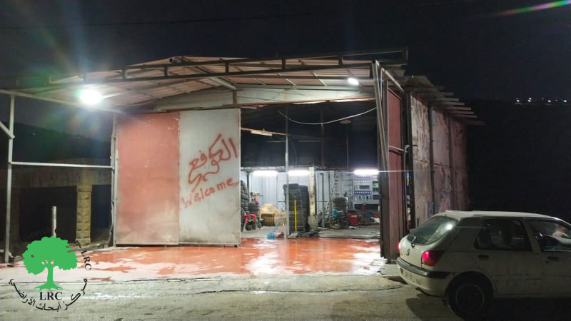
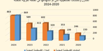
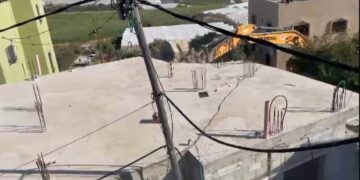
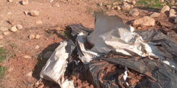
- Violation: Demolishing a mechanic’s garage.
- Location: Al-Lubban Ash-Sharqi / Nablus governorate.
- Date: August 11th 2021.
- Perpetrators: The Israeli Occupation Army.
- Victims: Citizen Khaleel ‘Uwais.
Description:
Wednesday, August 11th 2021, A massive army force accompanied by a bulldozer raided Al-Lubban Al-Sharqiya village south Nablus city , and imposed a military siege on the village entrance then carried on demolishing a mechanic’s garage belongs to citizen Khaleel ‘Uwais (26) on the pretext of building in area C without a license.
Citizen Khaleel ‘Uwais told LRC:
“About 9:00 am of Wednesday, A massive army force accompanied by a bulldozer raided the targeted location and carried on demolishing a shack with a total area of 130 m built of zinc and Baton.
Affected citizen asserted:
“The garage provides services like washing and repairing cars, it was completely leveled and everything inside it was destroyed, my loss amounted to 140 thousand shackles (80,000 cost of construction of the shack , 60,000 price of machine shops) which provide a source of income for my family (9 members).
Affected citizen Khaleel ‘Uwais asserted: “I received a halt of work order in May 3rd 2021, but I could not submit a complaint on the notice. The garage was built 5 years ago and in June 29th 2021 I received a final demolition notice within 7 days, and in August 11th 2021 I was shocked of Israeli bulldozer raiding the location and carrying out the demolition.”
 |
 |
 |
 |
About Al-Lubban Ash-Sharqiya: [1]
It is believed that Al-Lubban village comes form the word (Lebanuta) in Syriac Language meaning; making Yogurt (Lubban) , and Ash -Sharqiya (the eastern) was added to distinguish it from Al-Lubban Al-Gharbiya in Ramallah.
Al-Lubban Ash-Sharqiya is located 22 km south Nablus city , the road to Al-Lubban Ash-Sharqiya is a small local road that connects it to Nablus-Jerusalem road about 500 m . Al-Lubban Ash-Sharqiya is administratively related to Nablus Municipality , and located about 650 m above sea level , with a total area of 16,637 dunums , of which 255 dunums are a built up area for the village , planted with beans, cotton and some vegetables and Trees like olives , figs and grapes .
The village is surrounded by As-Sawiya and Iskaka (north) , Salfit and Bani Zeid Ash-Sharqiya (west) , Qaryout (east)| , and Sinjil and ‘Abwin (south).
Al-Lubban Ash-Sharqiya has a population of 2640 people until 2017 census.
Israeli colonization devoured 1670 dunums of Al-Lubban Ash-Sharqiya lands as follows:
- Israeli colonies ate up (1168) dunums for:
|
Colony’s name |
Establishment year |
Area of lands |
Number of colonists |
|
Ma’ale Levona |
1983 |
221 |
497 |
|
Eli |
1984 |
947 |
2,058 |
- Bypass 60 devoured 502 dunums of the village lands.
Land classification according to Oslo accords:
- A area (5,313) dunums.
- B area (4,037) dunums.
- C area (6,287) dunums.
[1] GIS-LRC
Prepared by
The Land Research Center
LRC


