- Violation: Uprooting 22 olive trees.
- Location: Ras Karkar village / Ramallah governorate.
- Date: September 9th 2020.
- Perpetrators: The Israeli Occupation forces and “Neria” colonists.
- Victims: Heirs of Abudlfatah Nofal.
Description:
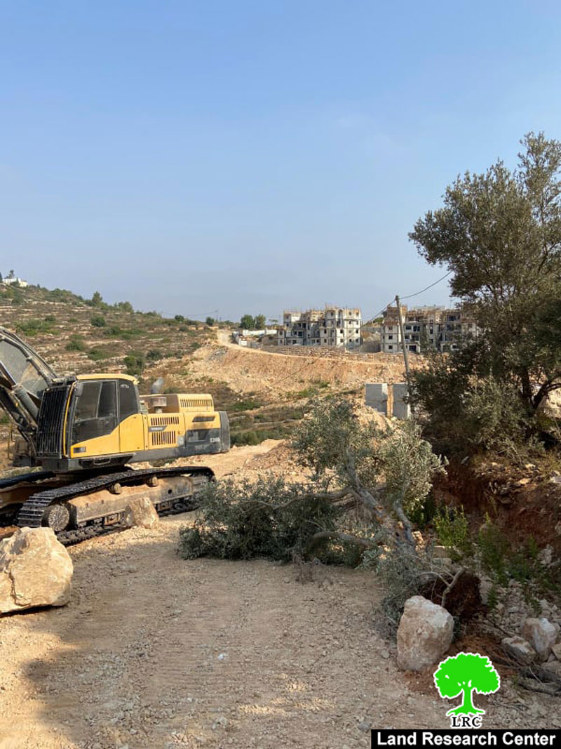
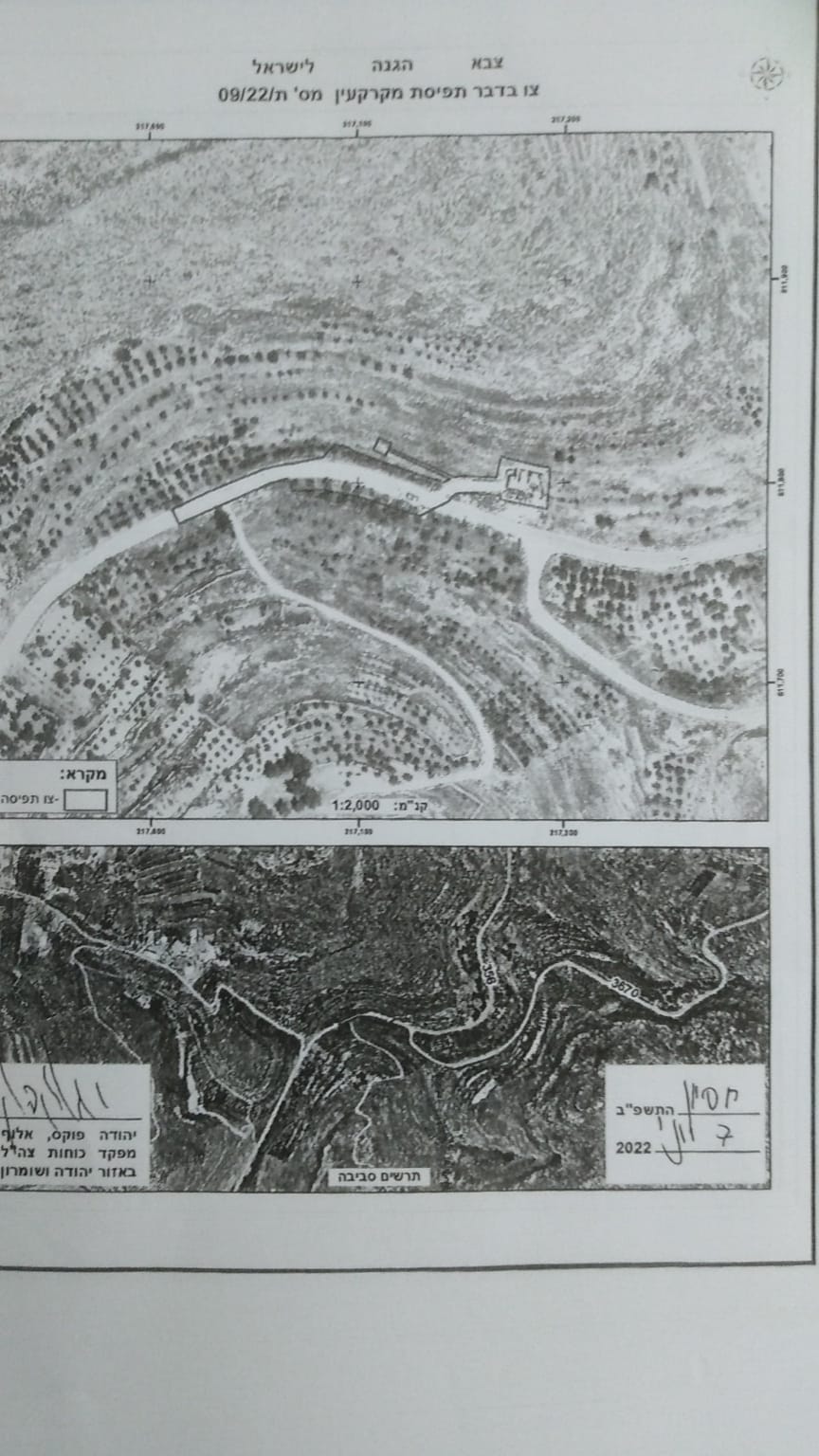
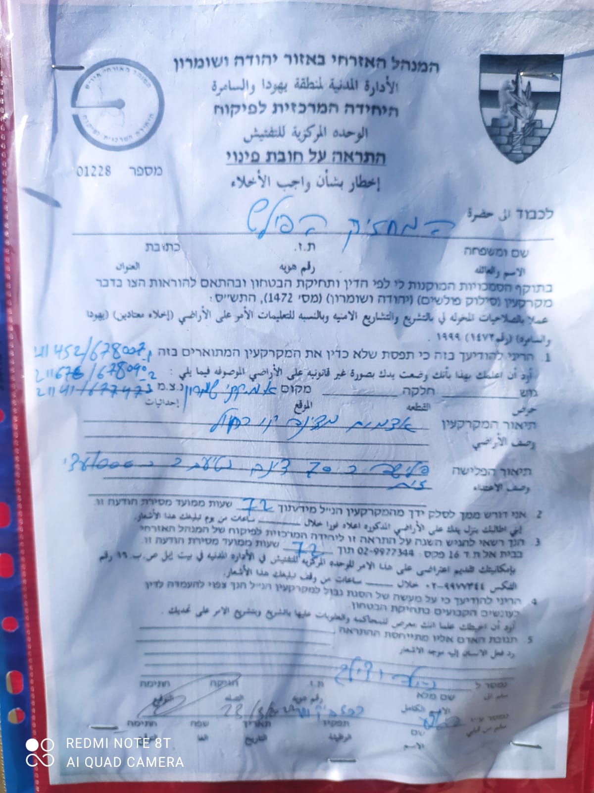
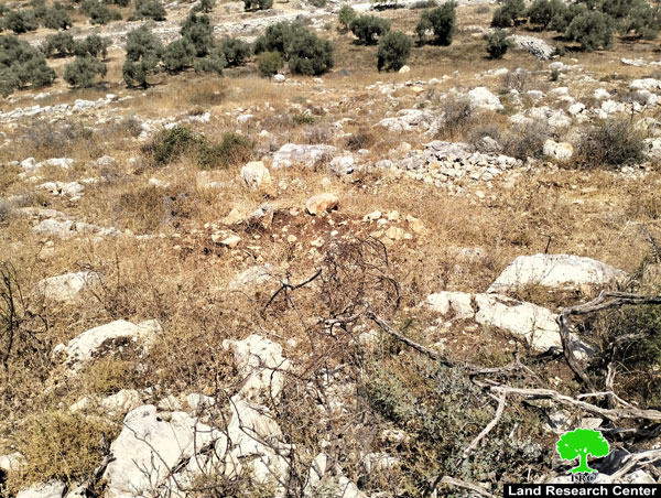
Wednesday, September 9th 2020, The Israeli occupation’s machineries and troops ravaged and uprooted 22 fruitful olive trees in “Ras Abu Zaitoun” area of Ras Karkar village behind the separation fence that surrounds the illegal colony Neria.
The targeted trees belong to heirs of Abdul Fatah Nofal from Ras Karkar.
One of the victims Nu’man Nofal told LRC the following:
“My family and I inherited 50 dunums of olive groves cultivated with 250 olive trees, and contain a water harvesting cistern, a large part of the olive groves was confiscated for colonial expansion of the illegal colony Nirya , the rest of the groves were completely isolated behind the separation fence that surrounds (Dolev, Nirya, Talmoun) illegal colonies , the occupation forces set up a gate on the separation fence , and allow us to pass through only during harvesting and ploughing seasons. However, Wednesday , a neighbor told me that the occupation’s bulldozers are ravaging the olive groves , and uprooted 22 olive trees , in order to install a sewage network that serves illegal colonies behind the fence. I got up a high hell to be able to see the olive groves behind the fence , and found that they are actually ravaging it, when the occupation forces saw me , they came by and surrounded me , and told me that I am not allowed to stand here, I asked them what are they doing in my family’s olive grove , they told me that a sewage network will be installed in my plot , and that even the cistern will be demolished for the same purpose , then they forced me to leave the location.”
Ras Karkar village is a hotspot for Israeli violations to the Palestinian land and housing rights , vast areas of land were confiscated for the favor of illegal colonial expansion, and illegal settlers carried out several vandalism and arson attacks against farmers of the village.
Ras Karkar:[1]
15 kilometer north west of Ramallah, It is about 500 m above sea level, and has a total area of 5,050 dunums, of which 330 dunums are a built up area.
Ras Karkar is surrounded by Deir ‘Ammar (north), Kafr Ni’ma and Deir Ibziq (south), Al Jania (east), Bani Harth (west).
Ras Karkar has a population of 1956 people according to statistics conducted by the Palestinian Central Bureau of Statistics in 2017.
The Israeli occupation devoured more than 32 dunums of the lands of the village for Talmon C colony which was built in 1989. Moreover, bypass number ‘463 took over 295 dunums of the village lands.
According to Oslo Accords, 19% of Ras Karkar is under Area B (PA has full civil and security control) while most of the village lands (81%) is under Area C (Israel maintains full security and administrative control). Here is the area in dunums:
- Area B (940) dunums
- Area C (4110) dunums
[1] GIS-LRC


