- Violation: stop work notice of a water network.
- Location: Marda Village / Salfit Governorate.
- Date of violation: 27/08/2020.
- Perpetrators: the Israeli Occupation Army.
- Affected party: the people of Marda village.
Violation details:
On Thursday evening, 27/8/2020, the Israeli occupation army prevented the village council in Marda village, north of Salfit, from completing the rehabilitation of a section of the water network that feeds the village, under the pretext of working within the area classified (C) of the Oslo Agreement.
The head of the village council in Marda village, Mr. Bashar Ibdah, told the Land Research Center’s researcher the following:
“While the village council in the village of Marda, in coordination with the Palestinian Water Authority, were rehabilitating the worn-out water network, the occupation army prevented us from rehabilitating 150 meters long section of that network under the claim of being located in area C of Oslo agreement. The target pipe line feeds no less than nine residential homes in the northeastern neighborhood of the village and is close to Trans Samaria bypass Road No. 505. The attacking occupation army tried to confiscate the machines working on the site but the gathering of the village’s citizens was sufficient to prevent the occupation from doing so, noting that the occupation army only provided oral notice and did not deliver any written notices in this regards”.
During the past months, the only western and eastern entrances to the village were closed successively by the occupation army which led to the isolation of the village from its Palestinian surroundings. In the meanwhile the occupation authorities have not yet allowed the expansion of the village’s built up areas in response to the natural increase in the population due to its proximity to the borders of the settlement of Ariel whose part of it was built on the confiscated lands of Marda village.


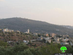
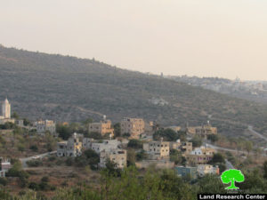
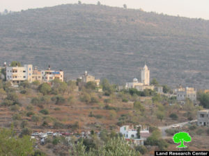
 Photos 1-3: A view of the village of Marda
A glimpse on Marda village:
The village of Marda is located 5 km to the north-east of the city of Salfit, and it is bordered to the north by the village of Jamain, to the west by the village of Kafel Haris, to the east by the village of Yasuf, and to the south by the colony of “Ariel”. Its population was 2,375 people in accordance with 2017 Palestinian general census. The total area of the village is 8,816 dunums, of which only 350 dunums are a built-up area.
About 2537 dunums of the village’s lands have been captured for the building and expansion of Ariel colony since 1978 whose total population nowadays mounts to 16053 settlers.
In addition, about 261 dunums of Mardsa village lands were, also, captured for the construction of the settlers’ bypass roads No. 505.
According to Oslo agreement, the lands of the village are classified as followed:
- Areas classified as B is 17% (about 1458 donums).
- Areas classified as C is 83% (about 7358 dunums).
Prepared by


