- Violation: Demolishing agricultural cisterns and uprooting saplings.
- Location: Kafr Ne’ama village / north Ramallah.
- Date: April 2nd 2020.
- Perpetrators: The Building and Organization Department / The Israeli Occupation Civil Administration.
- Victims: Citizen Hashim Hamad.
Description:
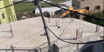
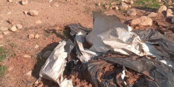
Thursday, April 2nd 2020 , the Israeli Occupation bulldozers accompanied by massive army forces raided Kafr Ne’ama north Ramallah city and ravaged a farmland (about 40 dunums) , containing 3 water harvesting cisterns , in addition to destroying retaining walls and uprooting trees. According to the village council, the attack left the following damages:
- Demolishing 3 water harvesting cisterns 60m3 for each cistern.
- Destroying at least 2200 m of retaining walls.
- Destroying 2300 of a metal siege.
- Cutting and confiscating 400 grapes trees.
- Cutting and confiscating 550 olive saplings.
- Cutting and confiscating 200 almond saplings.


The targeted farmland belong to Hashim Hamad (46) from Beitunia , He told LRC the following:
“Four years ago, I reclaimed my 40 dunums plot, and planted it with about 550 olive saplings, 210 almond saplings, and 420 grapes saplings. I also built three cisterns and built retaining walls that surround the farmland, this agricultural investment was very expensive but with a great intention, represented in protecting the plot from colonial expansionist schemes. However, in May 5th 2019 , I received notice (45476) to evict a plot on the pretext of using a “governmental property” , the Colonization and Wall resistance commission started in licensing procedures , but the occupation forces did not give enough time and carried out the operation”.

Kafr Ne’ama village:[1]
12 Km to the west of Ramallah city, Kaf Ne’ama is bordered by Ras Karkar and Kharabatha Bani Harith (north) , Bala’in (west) , Deir Ibze’a and Aj-Janiya (east) , and Safa and Beit ‘Our At-Tihta (south).
Kafr Ne’ama has a total population of (4,659 people) until 2017 census.
Kafr Ne’ama has a total population of 8,190 dunums , of which 1,000 dunums are a built up area.
Oslo accords classified the town’s lands as the following:
- B area (6,078) dunums.
- C area (2,112) dunums.
[1] GIS-LRC


