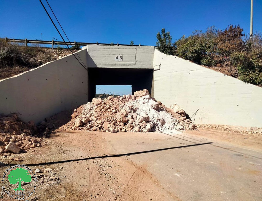
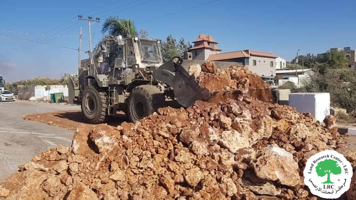
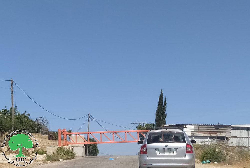
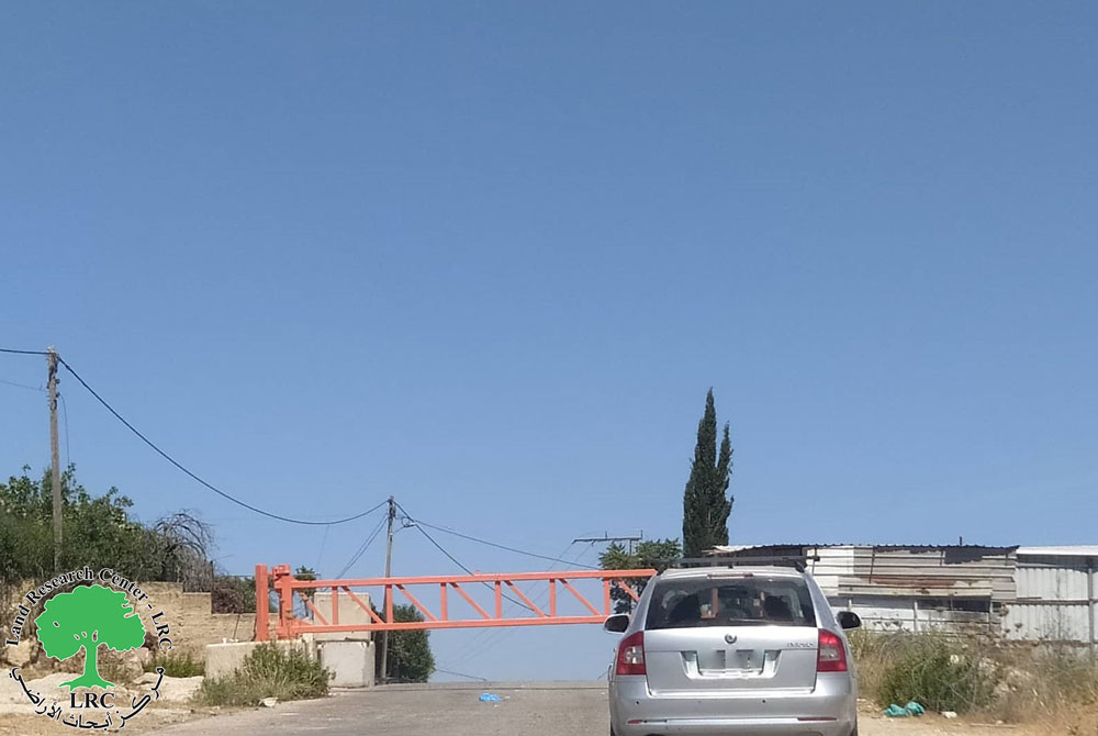
On the 22nd of July 2016, the Israeli Occupation Army closed with earth mounds and cement blocks the entrances of a number of Palestinian villages and towns at the eastern and western parts of Bethlehem Governorate.
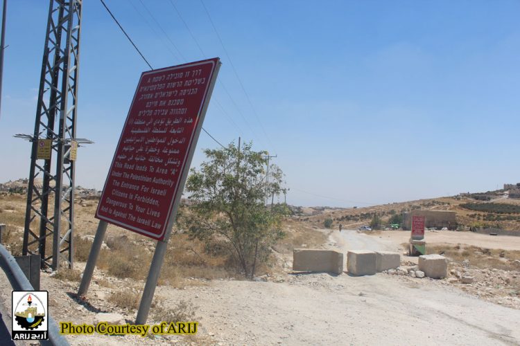
During the field visit carried out by the field workers from the Applied Research Institute – Jerusalem (ARIJ), the closures were reported as follows, (See the image 1-10):
- In Al Khas village, east of Bethlehem city, the Israeli Army erected cement blocks at the western entrance of Al Khas village, the targeted entrances led to the junction led to the Israeli Military checkpoint of Mazmuriya, and links to the Israeli Bypass road No. 398.
- Two entrances in Za’tara village were closed ; the northern and southern entrances, where these entrances led to the Israeli Bypass road No. 356. After the closure of these two entrances, the residents of Za’tara village have been isolated from the Bethlehem city and the surrounded villages and towns.
- The eastern and southern entrances of Beit Ta’mar village, these entrances led to the Israeli road No. 398.
- The western entrance of Jannatah village. This entrance link to the Israeli Bypass road No. 398.
- The eastern entrance of Marah Rabah village, southwest of Bethlehem city, this entrance also led to the Israeli Bypass road No.398.
- In Beit Jala town, west of Bethlehem city, the Israeli Army closed with cement blocks the entrances of two neighborhoods; As Sider and Al Iskan. The targeted entrances link to the Israeli Bypass road No. 60.
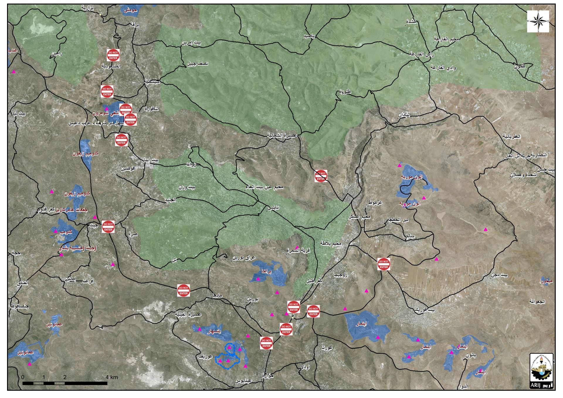
The analysis conducted by the Geo-Informatics and Settlement Monitoring departments in the Applied Research Institute – Jerusalem (ARIJ), showed that the Israeli closures imposed on the aforementioned villages and towns, aim to separate the eastern rural area of Bethlehem Governorate, form the city center. Moreover, the Israeli closure also, deprived the Palestinians living the eastern rural of Bethlehem from using the Israeli Bypass road No. 398, which used by the Israeli settlers living in: Tekoa, Nekodem, Kafr Eldad, Asfar , Abi Nahal, Ma’ale Amos and Mitzad Shimon settlements. all of these aforementioned settlements located at the southwestern part of Bethlehem Governorate, which called by the Israeli Authorities as “East- Gush Etzion settlement Bloc”. (See the Map No.1)
Map No.1: the location of the targeted entrances- Bethlehem Governorate
By forbidding the Palestinians from using the entrances of roads reach to the Israeli Bypass road No. 398, the residents obligated to travel on long alternative bypass roads.
On the other hand, the Israeli closure took place in Beit Jala town, west of Bethlehem city, prevented the Palestinians living in Al Iskan and As Sider neighborhoods at the western part of Beit Jala city from using part of the Israeli bypass road No. 60, where they used another long alternative roads to reach the city center of Beit Jala.
To sum up
The Israeli systematic closures that took place in Bethlehem Governorate as well as in many parts in the oPt, seek to deprive the Palestinian residents from using the Israeli bypass roads(Israeli controlled road), while paving the way for these roads to be used only by the Israeli settlers of the illegal settlements in all parts of the West Bank.
Prepared By
The Applied Research Institute – Jerusalem
ARIJ

