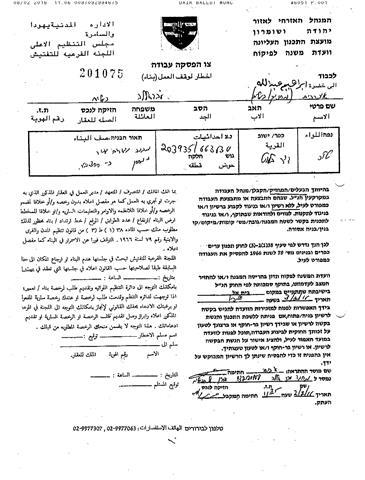
On February 5, 2016, the Israeli bulldozers stationed in shoshahla area south of Al-Khader village west of Bethlehem and closed an agriculture road with earthbound. See the pictures below:


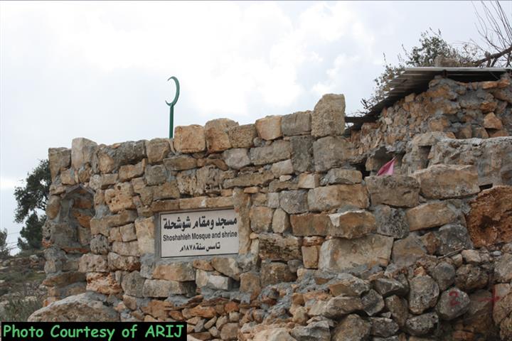
Khirbet Shoshahla is a Palestinian agrological community located south of the village of Al-Khader west of Bethlehem Governorate. Today ,Shoshahla lies on the two sides of the Israeli bypass road # 60 at the southern edge of Al Khader village boundaries. In the site of the community there are a number of archeological houses and palaces owned by the Palestinian families from Bethlehem ( Handal- Jacaman ) and other Palestinian families from Al-Khader town. The agrological houses and palaces are now under a process of restoration that supervised by the Palestinian Bureau of Wall and Settlements and other local related organizations. See the map below:


Al-Khader town, a Palestinian community located some 4.5 kilometers east of Bethlehem city. It is bordered by Husan and Battir villages from the west and northwest, Al Doha and Beit Jala cities from the north and northeast, and Al Duheisha Refugee camp and Artas village from the south. The built-up area of Al- Khader village spreads on 601 dunums of land, about 3% of the village's total land area (20,090 dunums). The village is a home to 11,062 inhabitants (PCBS 2012), most of who work in the agriculture sector. The village's rich fertile soil has made farming and agriculture feasible on the land; therefore, agriculture has been and is still considered the major source of income for many families of the village.
Al Khader , is one among many Palestinian villages which were severely affected by the Israeli colonial and expansionist activities. Throughout the years of the Israeli occupation to the Palestinian territory, the village lost 2791 dunums (13.8% of the village's total area) of its lands for the construction of six illegal Israeli settlements. Furthermore, the Israeli Segregation Wall constitutes another Israeli colonial tool to loot as much lands as possible from Al-Khader village, where it stretches 6.7 km on the lands of the village and cuts most of the village's agriculture lands and open spaces behind it. When completed, the Segregation Wall will end up isolating 15,144 dunums (75.4%) of the village's total land area, including the Israeli settlements established on the village's land and annex them to Israel's property.
Enormous Expansion in Giv’at Hadagan neighborhood in the settlement of Efrat
On the other hand ARIJ field workers detected an enormous expansion in the illegal settlement of Efrat specifically in Giv’at Hadagan new neighborhood located to the far north of the settlement. See the pictures below:


ARIJ fieldworkers captured photos for the new expansion in Giv’at Hadagan/Efrat
Giv’at Hadagan is an illegal settlement outpost established in the year 1995 inhabited by dozens of Israeli religious settlers. It is located in the far north of the illegal settlement of Efrat. Later on and on December 2011, the Israeli Ministry of Housing and Construction issued tenders for the construction of 40 housing units in Giv’at Hadagan instead of the 40 illegal caravans that was installed in the site in the year 2000, whereas mentioned before the construction of the 40 housing units is a part of a larger plan to build more than 500 housing units in the new neighborhood which is approved by the Israeli Minister of Defense.
Today, the construction of the remaining 460 housing units are taking place on the ground. See the map below:

Giv’at Hadagan neighborhood/Efrat Settlement
Escalated Closures and Tightening
The Israeli Occupation Army still impose the closure on the Palestinian areas since October 2015. Where during the month of January 2016, the Israeli Occupation Army closed a number of Palestinian roads and the entrances of some Palestinian villages and towns in several areas in the occupied West Bank. In Bethlehem Governorate, the Israeli Occupation Army closed the entrance of Janata village, southeast of Bethlehem city, and closed all the entrances of Al Jab’a village, southwest of Bethlehem city as well. In addition to the closure of “Masja” road which links the eastern villages of Bethlehem Governorate with Bethlehem city center.
While in Hebron Governorate, the Israeli Occupation Army closed the main entrance of Ad-Dhahiriya town, and closed the iron gate at the entrance of Al Haraueq area at the southern part of Hebron city. Also, the Israel Army still closing the entrance of Dura town and Al Fawar refugee camp. Furthermore, the Israeli Authorities issued a military order to close the main road links between Beit ‘Amra and Karma villages, southwest of Hebron city.
In Ramallah Governorate, the Israeli Occupation Army closed the main entrance of An-Nabi Saleh village, north of Ramallah city. It’s worth to mention that the closure of the entrance of An Nabi Saleh village had dramatically affected the surrounded villages and towns. Moreover the Israeli Authorities closed “Beit Ur- Beituniya” road which links between the western villages of Ramallah Governorate with the center of the city.
Furthermore and during the year 2015, the Israeli Occupation Authorities seek to impose blockage at Palestinians in several areas in the occupied West Bank included Jerusalem city. Where during the year 2015, the Israeli Army closed several Palestinian main roads in several areas in the occupied West Bank, these roads link the Palestinian villages and towns with each other, and link to the Israeli bypass roads which used by the Israeli settlers. These policies had significantly contributed in strangulating the Palestinians in their communities and excessing their prolonged suffering.
During the year of 2015, the Israeli Occupation Army doubled the number of the obstacles in the West Bank, where at the beginning of the year 2015 the number of the Israeli checkpoints/obstacles were about 514 obstacles, and by the end of the year the number of these checkpoints/obstacles reached to 607.
Prepared by:
The Applied Research Institute – Jerusalem