Violation: torching 123 olive trees
Location: Kfar Sur- Tulkarm
Date: 27/05/2015
Perpetrators: Salit colonists
Victims: residents of the village
Preamble:
Preamble:
Olive trees in Palestine are a symbol of hope, civilization, history and identity; attacks against those trees are attacks against the Palestinian very existence. Every olive picking season, the Palestinian suffering is renewed…
Every year, Palestinian olives are targeted by radical colonists spreading all around the West Bank, those colonists who turned the West Bank into scorched earth with the help, protection and support of the Israeli Army who is considered as partner in crime associates.
Details:
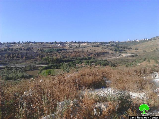
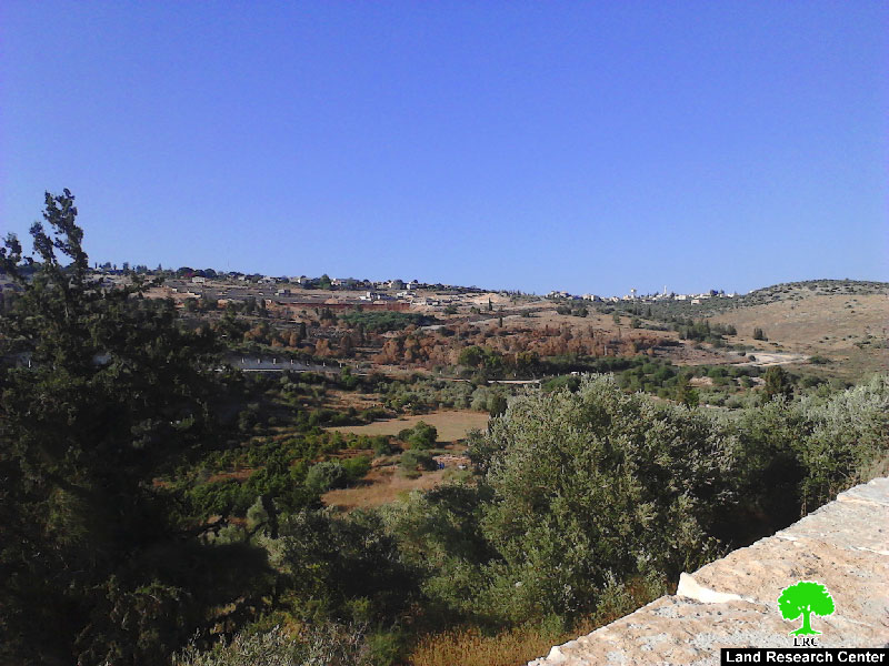
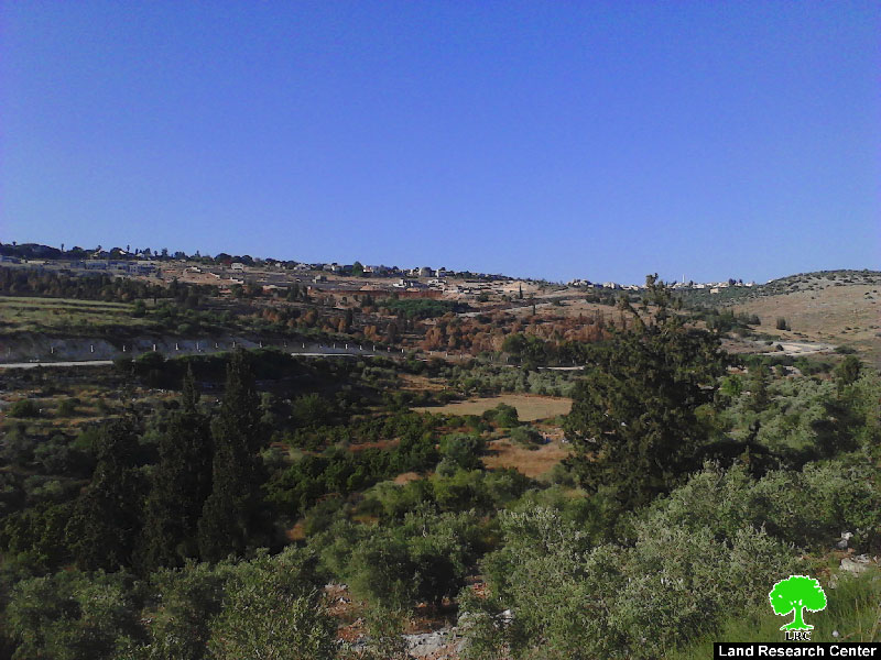
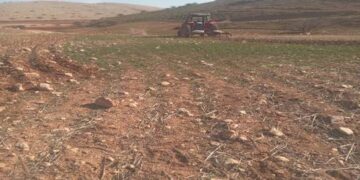
A group of fanatic colonists on May 27, 2015 set fire to olive groves that are located nearby Salit colony behind the apartheid wall. Noteworthy, the colony is reported to undergo huge expansion works. Fire reached out 123 olive trees that sustained major damage. The dryness of grass and the latest heat wave that hit the area caused the fire to spread quickly. The occupation army had to extinguish the fire in fear that it reaches the colony; choppers were used in the process.
The owners of the affected lands could not be identified since the attacked plots are located behind the wall and are declared inaccessible since 2000.
The apartheid wall devouring the village of Kfar Sur:
The apartheid wall, which was established in 2000, isolated thousands of olive trees behind its structure. This negatively affected the agricultural sector; especially the olive sector. The Israeli occupation authorities imposed restrictions on lands access to hinder Palestinian farmers from reaching their lands, which makes it easy for the occupation to take them over.
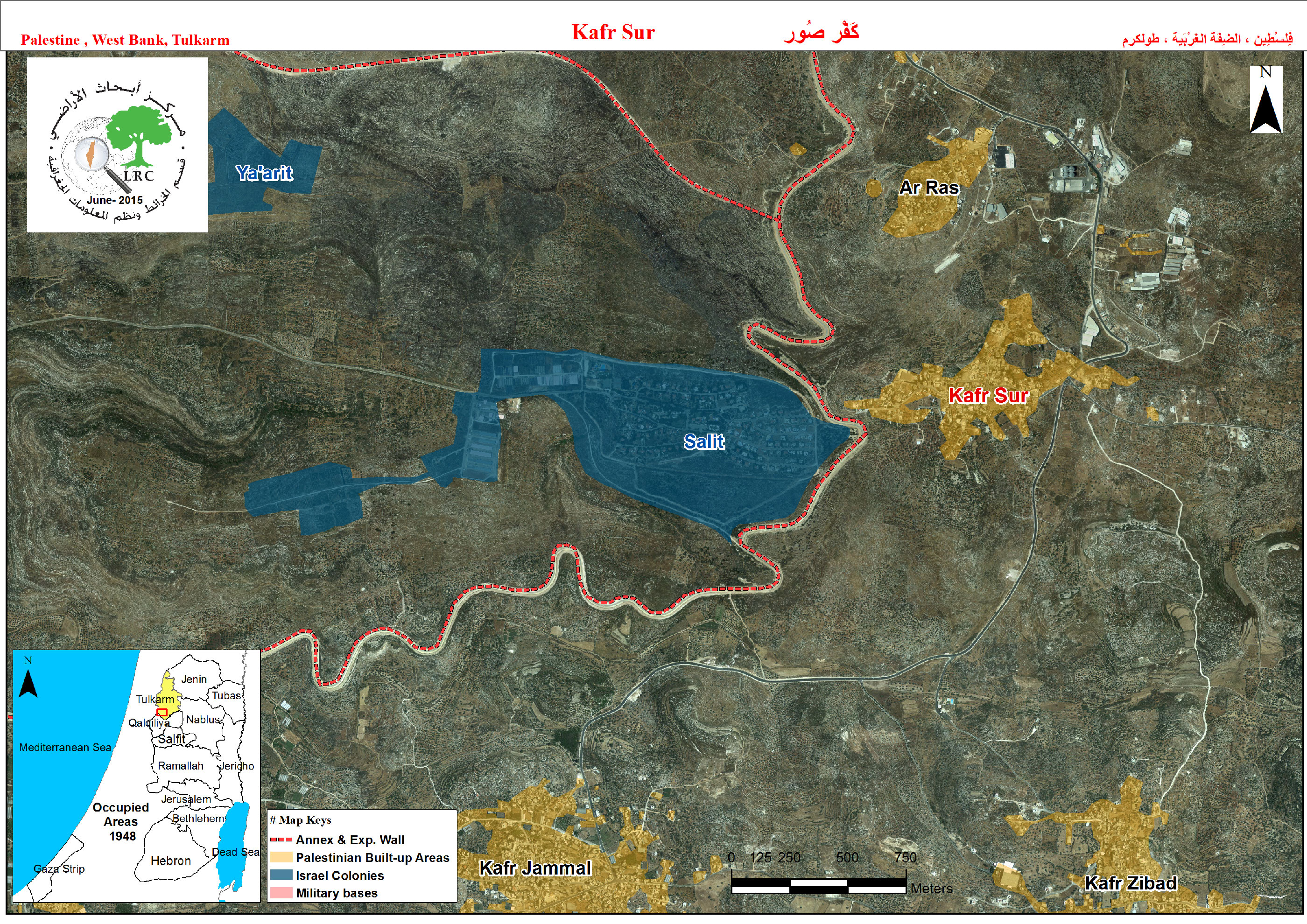
It should be marked that the apartheid wall devoured a huge area of land from the village of Kfar Sur, the major parts of which were annexed to Israeli colonies as peripheries and buffer zones. During the years of 2003-2005, a vast area colony was transformed into closed military zones in the nearby of Salit colony.
In 2013, the Regional Committee of the West Bank Settlements advertised a new master plan for the colony, which included the transformation of some “green areas” into expansion zones. This is to say that there is no hope that Palestinians can restore their lands in that area.
About Kfar Sur:
It is 9km to the south of Tulkarm village; Kfar Sur is bounded by Al-Ras town from the north, Salit colony from the west, Saffarin town from the east, and Kfar Zibad and Kfar Jamal villages from the south.
Kfar Sur has a total area of 46,852 dunums, of which 261 dunums are the village’s built-up area. The village is inhabited by 1440 people (2014).
The Israeli occupation confiscated 3716 dunums from Kfar Sur as follows:
- 1067 dunums were confiscated for the favor of Israeli colonies; 921 dunums were taken for the favor of Salit colony which was founded in 1997 with a population of 441 colonists. Another 146 dunums were expropriated for the favor of Ya’arit colony that was established in 1997 as well.
- 1094 dunums were confiscated for the favor of the bypass road no. 574.
- 1555 dunums were devoured as per the apartheid wall’s route; the wall also isolated 12,157 dunums behind its construction as a result.
According to Oslo Accords, the lands of Kfar Sur are classified as follows:
- 29862 dunums are classified as area B
- 16990 dunums are classified as area C
Prepared by
The Land Research Center
LRC

