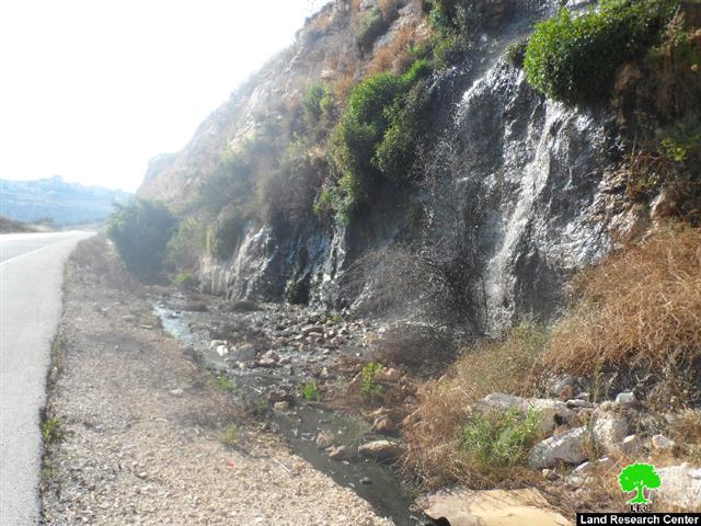
Violation: Deposit of detailed master plans to open a colonial road network
Location: The Israeli colonies of (Beitav, Naomi, Mivot, Yeriho, Rimmonim).
Date: 13/06/2014
Perpetrators: The so-called Supreme Council of Planning/ Road Sub-Committee
Victims: People of Jericho
Details:
On June 13, 2014, the so-called Supreme Council of Planning/ Settlement Sub-Committee of the Israeli Civil Administration published an announcement on al- Quds Newspaper, page 15, about the deposit of four detailed master plans of a road network that only serves the Israeli colonies east of Jericho.
According to the announcement, the main objective of the plans is to organize the roads connecting the Israeli colonies in the area to make way for colonial expansion taking place in different colonies.
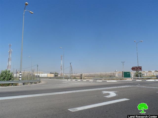
Pictures 1-2: The road leading to Naomi colony/ An-Nuwei'ma, Jericho
The table gives information about the master plans deposited and the areas targeted:
|
No. of plan |
Type and No. of road |
No. of blocks/ location |
Beneficiary colony |
|
Regional road no. 449 |
Natural blocks no. 14,15,19,26,20,24,3212,44 from al- 'Auja, north of Jericho |
Mivot, Yeriho, and Rimmonim |
|
|
Local road no. 4499 |
Blocks no. 4, 43, 41, 20, 19, and 17 from al-'Auja, north of Jericho |
Beitav |
|
|
Regional road no. 449 |
An- Nuwei'ma land- Jericho Within block no. 1 |
Naomi |
|
|
Regional road no. 460 |
Blocks no. 20, 25, 44 from al- 'Auja lands |
Naomi |
At the time the Israeli occupation bans Palestinians from opening and / or rehabilitating roads; issues orders against them; denies Palestinians access to their agricultural lands and harasses farmers, it publishes advertisements about opening colonial roads on Palestinian lands for colonists only to facilitate their movement and transportation.
Prepared by
The Land Research Center
LRC


