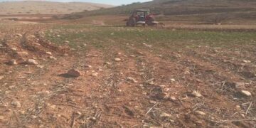
Violation: Setting fire to 22 trees
Date: 21/05/2014
Location: Haris- Salfit
Perpetrators: Colonists of Revava
Victims: Family of Mamoun Dawud
Details:
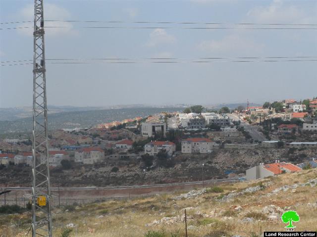
On Wednesday, 21 of April, a group of Revava colonists sneaked into the west of Haris village, in an area adjacent to the colony where they set fire to a piece of land belonging to Maoun Dawud (65). The fire destroyed 22 trees rendering them partially damaged as people of Haris rushed to the site and extinguished the fire before things could go bad and thus minimizing the extent of damage. The table gives information about the affected citizen from last attack on Haris:
|
Affected citizen |
Family |
Area/dunum |
Trees |
|||
|
olive |
almond |
cactus |
fig |
|||
|
Mamoun Dawud |
11 |
1.5 |
2 |
7 |
3 |
10 |
Revava colony that is witnessing expansion on the account of the village land
About Haris:
Haris is located 6 km to the northwest of Salfit. It is surrounded by Ariel colony (north), Farkha village (southwest), 'Ammuriya (southeast) and Khirbet Qais (south). Its total area is 8445 dunums including 320 dunums of built up area inhabited by 4012 (PCBS, population projections- 2014).
The Israeli occupation confiscated 3631 dunums of Haris land for the following:
- The Israeli colonies that devoured 2672 dunums. Here they are in details:
|
Name |
Year of construction |
Area of confiscated land |
No. of colonists |
|
Kiryat Natavim |
1982 |
188 |
384 |
|
Revava |
1991 |
269 |
703 |
|
Barkan |
1981 |
177 |
1207 |
|
Industrial Zone of Barkan |
1981 |
1346 |
— |
|
Ariel Industrial Zone |
— |
692 |
— |
|
Total |
|
2672 |
2294 |
Bypass roads number 505, 4765, and 5506 confiscated 726 dunums 233 dunums were lost under the rout of the Annexation and Separation Wall while 7135 dunums are expected to be isolated.
Haris village land is divided into area B (631 dunums) and area C (7815 dunums) according to Oslo II interm Accords of 1995.
Prepared by
The Land Research Center
LRC


