Violation: the Israeli Occupation Authorities blocks three agricultural roads.
Location: western side of Deir Istiya – Salfit.
Date: August 1, 2012.
Details:
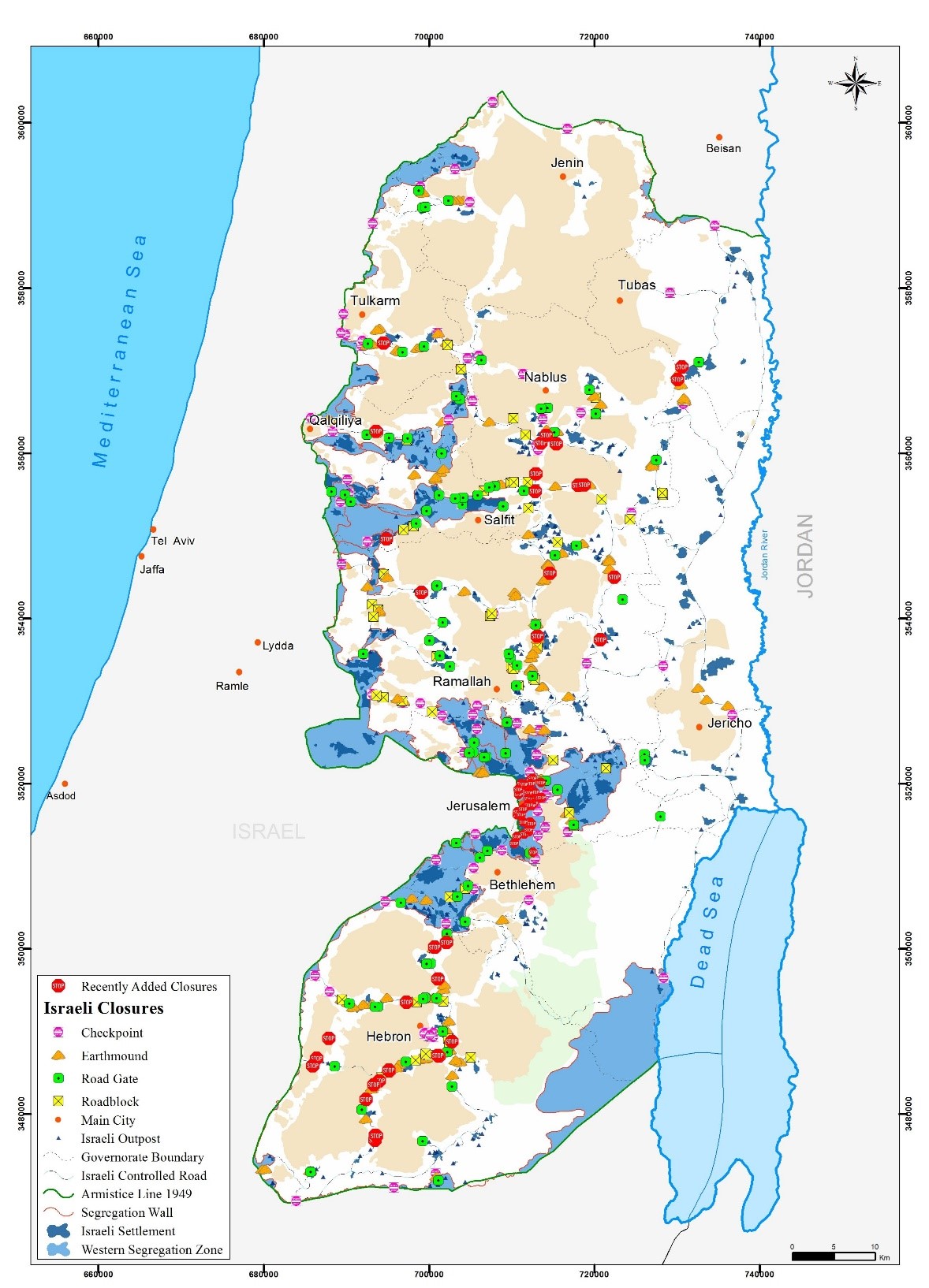
On August 1, 2012, the Israeli Occupation Army blocked three agricultural roads serving farmers of Deir Istiya. The roads are adjacent to the bypass penetrating Wadi Qana area in the heart of Salfit.
The roads are:
Picture 1: Wad abu Nasser road
Picture 2: Qitan al Jami’ road
Picture 3: Sayda road
Nathmi Salman of Deir Istiya Municipal Council said: ‘the Israelis have set the lands of Deir Istiya as a target for a long time; they are trying to steal the lands and detach it from its Palestinian owners who have been farming it for decades. Moreover, they are trying to deport the Palestinians for reasons unacceptable to human reason. It is not the first time that they close roads; in 2000, they closed Wad al shami road in the north western part of Deir Istiya and used to serve over 400 dunums of olive fields nearby Emmanuel colony. They also blocked Al Musrara road in the heart of Deir Istiya; it was a vital road for the growth and development of the town. In addition, Qattan Atayyan road which connected Deir Istiya with Qarawat Bani Hassan and served over 500 dunums of olive groves‘.
In total, 6 roads in and around Deir Istiya were blocked while tens of roads were opened to serve the 7 Israeli colonies in Wadi Qana area.
Deir Istiya:
It is located 6 km to the north west of Salfit. Its total area is 34870 dunums including 610 dunums of built-up area. 40 % of the total area of Deir Istiya has been subjected to colonial activities. The town is inhabited by around 4000 people who depend largely on herding and agriculture in their living knowing that fertile soil and plenty of water are available. It is considered one of the most concerned towns with education, compared to other surrounding towns and villages.


