
Violation: Israeli colonists capture hundreds of dunums of Palestinian lands located in area classified ‘B’ according to Oslo.
Location: Yanoun – Nablus.
Perpetrators: Itmar colonists.
Preface:
Yanoun village is facing total annihilation due to the continuing Israeli colonization activities around it. Itmar colony and the surrounding outpost have been devouring the village’s lands for years. It has been turned into an afflicted area which has been evacuated several times. It must be noted that Itmar and the nearby outposts of Gid’onim, Givat Alam, and Avrai Ran has been expanding on a significant rate lately.
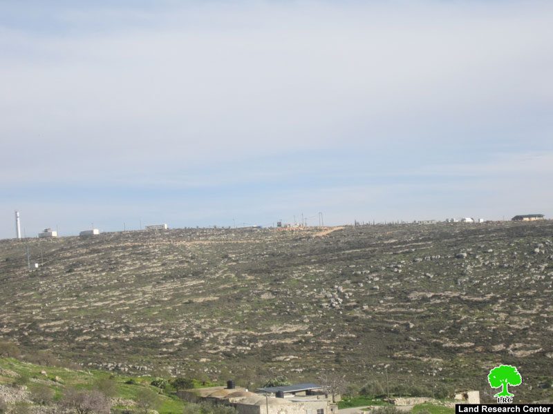
Picture 1: Gid’unim
Picture 2: Givat Alam and Avrai Ran
Details:
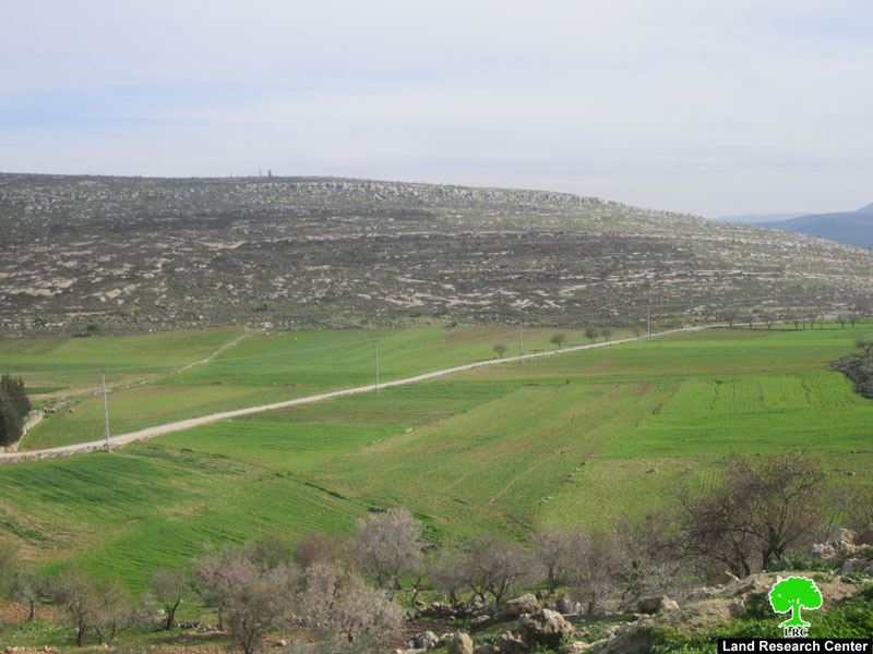
Recently, colonists of Itmar captured a total of 3000 dunums, which was later turned into ‘military zones’ inaccessible by the Palestinians. The captured lands are located on the sides of the road connecting Yanoun and Awarta, a road that has been blocked since 2000 and is located in area classified ‘B’ according to Oslo.
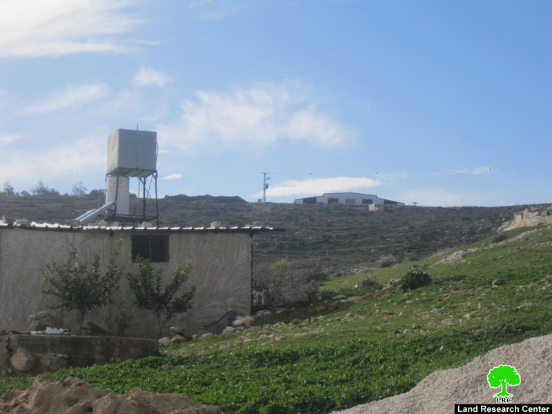
Yousuf Diriyya, a farmer of Yanoun, said: ‘since 2000, a fierce attack has been launched against Yanound and the nearby villages. Colonists have been aiming to capture as many hilltops as possible and that to answer the calls of the former Israeli PM, Ariel Sharon, who called for building a colonial outpost wherever possible. However, capturing lands for construction has not been enough for the greedy colonists who captured huge aras of lands around the outposts and turned them into ‘military zones’ inaccessible by the Palestinians. Coherently, 3000 dunums of agricultural lands, located to the south east of Itmar, has been turned into closed military zones despite being classified as areas ‘B’ according to Oslo Agreements. As a result, the3-km-long road that penetrates the targeted lands which connects Yanoun and Awarta has become unusable’.
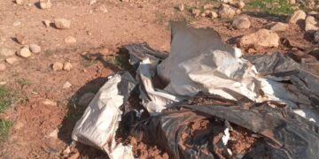
Picture 3: inaccessible lands
He added: ‘a systemized operation that is being held in cooperation with the colonists is being implemented to prevent Palestinians from using their lands freely despite giving the Palestinian side the authority to control areas classified ‘B’. however, the colonists and Israeli Army neglect such agreement and act on their own will. Palestinians are not allowed in and can only do that in predefined times of the year for olive picking only. Moreover, colonists use Palestinian lands as herding sites for their cattle under the watchful eyes of the Israeli Occupation Army which does not grant construction permits in areas classified ‘C’ and does not try to stop the colonists attacks in areas classified ‘B’. ‘
Yanoun:
Yanun is 15 km to the east of Nablus city. There isn’t any road network that connects the village to the city except the old road which was renovated only lately. The street leads to ‘Aqraba village. The village borders extend to reach ‘Aqraba, Beit Furik, and ‘Awarta villages. To the east there is Makhola colony and by-pass Road 90. The total area of the village is 16,000 dunums including 1,668 dunums built up area. According to Palestinian official sources, there are 102 people living in the village, most of them belong to Bani Jaber and Marar clans. Some of the residents are refugees originally from the occupied village of ‘Ajur which was occupied and destroyed back in 1948. Etmar colony has been expanding on the village lands as it took over more than 503 dunums from the village till now.

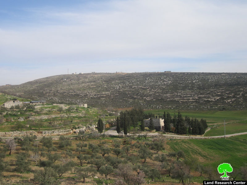
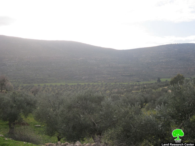
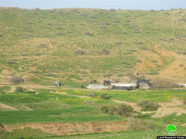
Picture 5-6: Yanoun
The residents depend mainly on agriculture and livestock as the main income sources knowing that most of the remaining areas of the village are grazing land. There is no water network in the village. As such, the residents depend mainly on the natural well located in the center of the village. There is sometimes a need for getting water from other sources like buying it from nearby villages, especially Qusra. Water becomes so expensive this way; it cost about 15 shekels per m3 which adds to the financial burdens of the villagers. There is only one elementary school in the village and there is no transportation network in the area.
Picture 7: herding fields – Yanoun
Prepared by
The Land Research Center
LRC
The Land Research Center
LRC


