On the 5th of January 2012, Israeli occupation forces announced the confiscation of 1,334 dunums of the lands of villages located northwest of Jerusalem for the declared purpose of changing the route of the Racist Wall. The confiscation orders that were distributed to the residents of the targeted villages indicated that the confiscation came for “security reasons” and to prevent “terrorist attacks”. The Orders included also maps to show the intended changes.
The Orders affect a number of Palestinian villages including:
1) Qatanna:
Mr. Hasan Abu Zaydeh, the head of the local village council, expressed the following to the Land Research Center (LRC)’s field researcher: The new re-routing will take away 116 dunums of Qatanna lands. The Order does NOT call for the removing of the Wall; rather, it calls for the placement of an additional fence at some distance of the existing Wall. As such, the land located between the fence and the Wall will be isolated and inaccessible. From our part, we got in touch with the lawyer Husam Younis to try and stop the confiscation.
The area of Qatanna is 9,000 dunum. After the construction of the Racist Wall, only 3,900 dunums remains of which 1,800 dunums are its built-up area and 2,100 dunums are classified as Area C (under full Israeli control). Four main families live in the village. They are Shmasneh, Houshiyya, Al Faqqiya and Taha.
2) Biddo:
Biddo did not escape the land confiscation, either. Its village council expressed the following: We have submitted a request to the Islamic Waqf asking for a piece of land to be used as a cemetery. Al Awqaf gave us the land, but when the Israeli confiscation orders were issued, we found that the land lies in the route of the Wall. As such, the village was deprived of its cemetery. Not only that, but every time the residents try to plant their lands located near the Racist Wall, they are being prevented by the occupation forces as the land is located in the “buffer zone” of the Wall. As for the new orders, we are holding regular meetings to be updated on the latest developments.
3) Beit Iksa:
The village of Beit Iksa is the most affected village on northwest Jerusalem. Mr. Mohammad Ghaith, the Deputy Head of the Village Council, characterizes the village as the “disaster village”. He expressed the following to LRC’s field researcher: The confiscation order targets 560 dunums to be used for the construction of the Racist Wall. That is in addition to the fact that the village is virtually isolated from the other villages and from Jerusalem. We have sent official letters to the President’s Office, the Prime Minister and the Jerusalem Governor on the hope to gather enough pressure to stop the implementation of the Order.
The total area of Beit Iksa is 14,200 dunums. It is the second largest village in northwest Jerusalem after Lifta. Its population is about 1,700 Palestinians. It is currently located on the “Israeli side” of the Racist Wall. Civil services (education and health) are provided by the Palestinian Authority, yet the security is under the control of the Israeli occupation forces. The colony of Har Samuel is established on its lands.
The following tables provides additional information on the targeted lands:
|
Previous Order Date
|
Town
|
Confiscated Area (in dunums)
|
Location
|
Extension Until..
|
|
11.2.2010
|
Beit Dikko
|
18.4
|
Parcel Viskali 4. Location: Sobal, Beqa, Mwaj Al Ain
|
31.12.2014
|
|
11.2.2010
|
Beit Surik
|
61.5
|
Parcel Viskali 3. Location: Khirbet Al Jabal.
Parcel Viskali 4. Location: Omra, Ein Zeid, Abu Zabeiba.
|
31.12.2014
|
|
11.2.2010
|
Qatanna
|
116.08
|
Parcel Viskali 3. Location: Al Oqqeib.
Parcel Viskali 4. Location: Khirbet Al Majnoona, Khirbet Beit Shabab.
Parcel Viskali 10. Location: Beit Abu Tur.
|
31.12.2014
|
|
11.2.2010
|
Beit Iksa
Biddo
|
119.8
|
Parcel Viskali 2. Location: Al Zannina, Abu Zeiton, Jarad Daher, Al Khalla, Araq Zahran, Al Ras Al Qibli
Parcel Viskali 3. Location: Al Sahl and Al Manzal.
|
|
|
11.2.2010
|
Beit Iksa
|
2.4
|
Parcel Viskali 2. Location: Al Ma’asar and Al Khallah.
|
31.12.2014
|
|
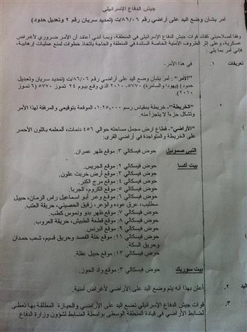
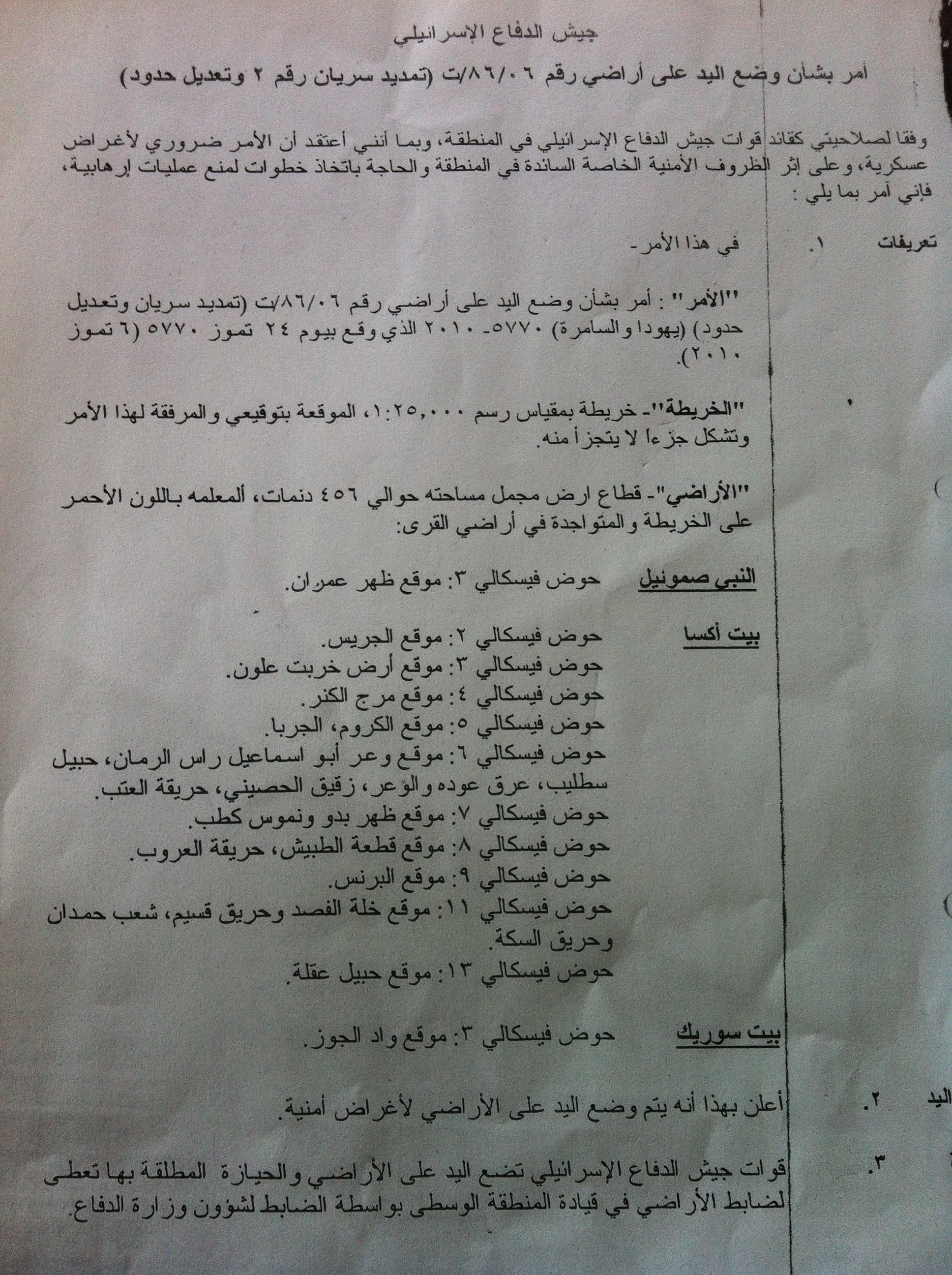
6.7.2010
|
Al Nabi
|
456
|
Parcel Viskali 3. Location: daher Imran
|
31.12.2014
|
|
6.7.2010
|
Beit Iksa
|
560
|
Location: Al Jarees, Khirbet Allon, Marj Al Kanar, Al Kroom, Al Jarya, Wa’ar Abu Ismaeil, Ras Al Rumman, Hubeil, Salteib, Araq ouden and Al Wa’ar, Zuqueiq Al Hussein, Hariqat Al Atab, Dahar biddo, Al Tubeish, Hareiqet Al Arroub, Al Prince, Khallet Al Fasad, Hareeq Qseim, Shu’eb Hamdan, Hareeq Al Sikka, Wadi Al Joz, Ein Olleiq.
|
31.12.2014
|
|
TOTAL
|
1334.18
|
|
|
|
Source: Israeli Violation Monitoring Unit – LRC.

Pic.1: A map distributed with the Confiscation Orders for the re-routing of the Racist Wall.
Prepared by
The Land Research Center
LRC
The Land Research Center
LRC


