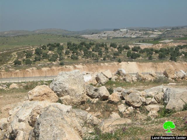
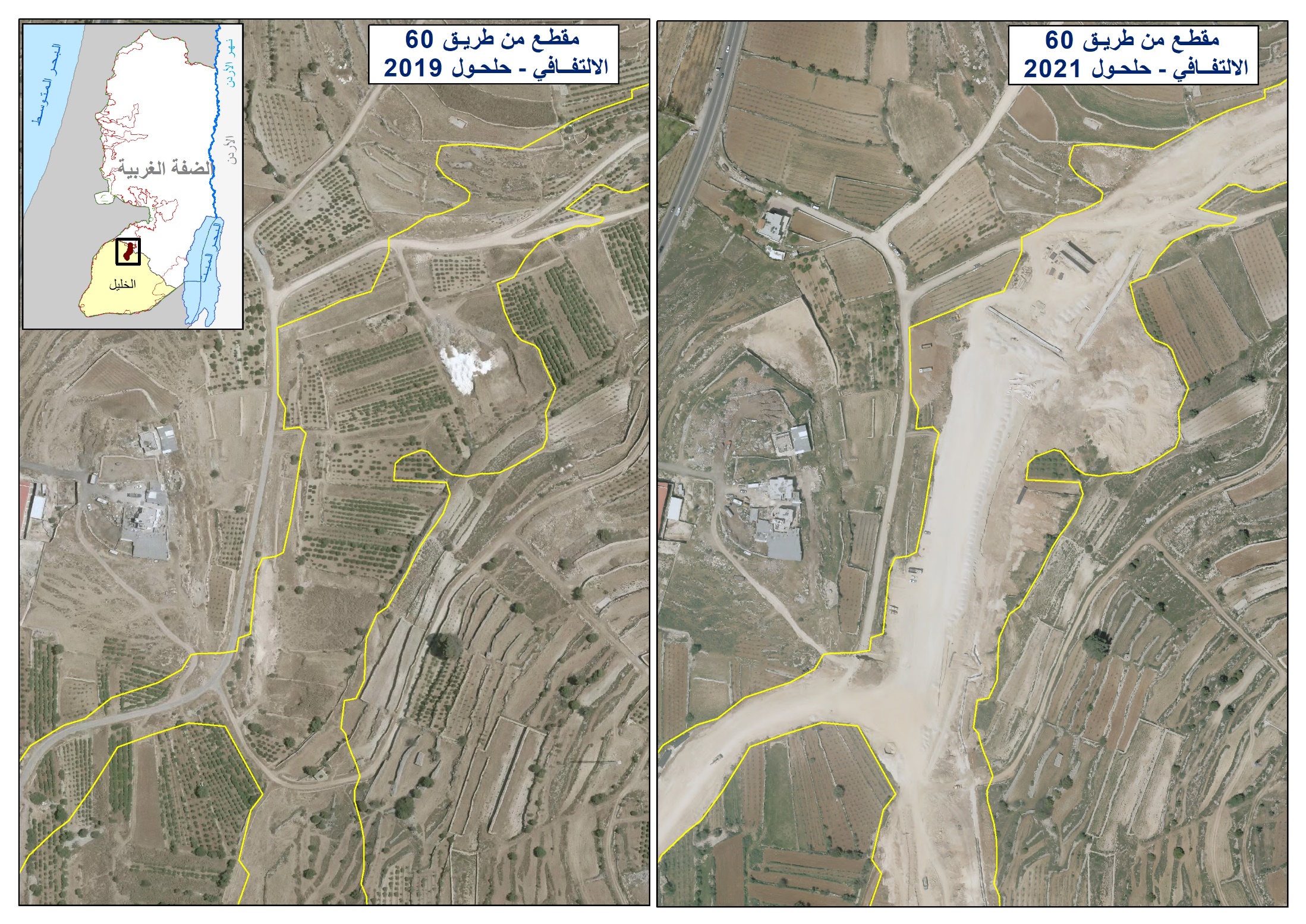
Israeli occupation forces are currently constructing a colonial road west of the Front Line Villages in the town of Dura, located west of the Governorate of Hebron. Work on the road has started in late 2007 in the southern parts of the village of Al Burj. Work is currently continuing in the area between the western side of the village of Al Burj and the village of Sikka in the north.
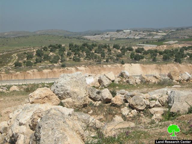
The colonial road (length = 9,333 meters) runs parallel to the 1967 borderline. The area of lands isolated between the street and the Israeli Isolation Wall is about 1,441 dunums. Part of the road runs in lands owned by Mr. Sami Yousef Suleiman Al Shawamreh from the village of Dier Al Asal Al Foqa as well as in Dura lands confiscated since 1967. Mr. Al Shawamreh assured Land Research Center’s field worker that he did not receive any orders from the Israeli occupation authorities indicating the confiscation of the lands for the benefit of the colonial road.
Photo 1: The lands of Mr. Sami Al Shawamreh through which the
colonial road cross in the village of Dier Al Asal Al Foqa.
Israeli forces have started to place the final touches on the parts of the road located west of the village of Al Burj. As for the section between the villages of Al Burj and Sikka, work is still on-going on the initial stages of the road.
Photo 2: Road construction west of the village of Al Burj – Dura.
Photo 3: The final touches on the road in the section west of the village of Al Burj – Dura.
The Houses of the Village of Sikka are Damaged due to the Use of Explosives in Constructing the Colonial Road:
Israeli occupation forces are using dynamite and other explosives in land leveling. The usage threatens the lives of Palestinians in the vicinity of the road along with their homes, especially in the area located west of the village of Sikka. These forces would usually drill holes in the mountainous areas using rock drillers. Afterwards, they fill the holes with dynamite and then detonate it, leading to structural damage to the Palestinian houses and structures located nearby. These are deliberate actions by the occupation forces in an effort to destroy the houses and force its Palestinian owners to flee. The evidence for this claim is the fact that there are safer alternatives that can be used in land leveling that does not cause damage to house or cause annoyance and discomfort for the people living in the vicinity of the work location.
Photo 4: Israeli bulldozers working on the colonial road on Sikka lands
confiscated in 1967 – Dura.
Mr. Najeeb Al Jawa’eda from Sikka’s Village Council indicated that the explosions have caused physical damage to the following houses:
|
No. |
Owner |
Year of Building |
|
1 |
Yaser Mahmoud Jawa’edeh |
2006 |
|
2 |
Bassam Khalil Jawa’edeh |
2000 |
|
3 |
Samir Mohammad Salim Jawa’edeh |
1988 |
|
4 |
Ahmad Salim Jawa’edeh |
1972 |
|
5 |
Al Sideeq Mosque in Sikka |
2007 |
|
6 |
Khaled Yousef Jawa’edeh |
2000 |
|
7 |
Tayseer Mahmoud Jawa’edeh |
1998 |
|
8 |
Mahmoud Oudeh Jawa’edeh |
1984 |
|
9 |
Isameel Hussein Jawa’edeh |
1986 |
|
10 |
Faisal Ismaeel Jawa’edeh |
1986 |
|
11 |
Ja’afar Ismaeel Jawa’edeh |
2000 |
|
12 |
Ahmad Khalil Ahmad Jawa’edeh |
1963 |
|
13 |
Mohammad Saleem Jawa’edeh |
1977 |
|
14 |
Omar Hussein Hashish |
N/A |
|
15 |
Hatem Taha Jawa’edeh |
N/A |
|
16 |
Akram Hussein Hashish |
N/A |
|
17 |
Mohammad musa Hreibat |
2001 |
|
18 |
Majed Mahmoud Hashish |
N/A |
The number of people living in the afore-mentioned houses is 130 about 50% of which are children. The following pictures display some of the houses that were directly damaged due to the construction of the colonial road:
Photo 5 The house of Mr. Yaser Mahmoud Jawa’edeh.
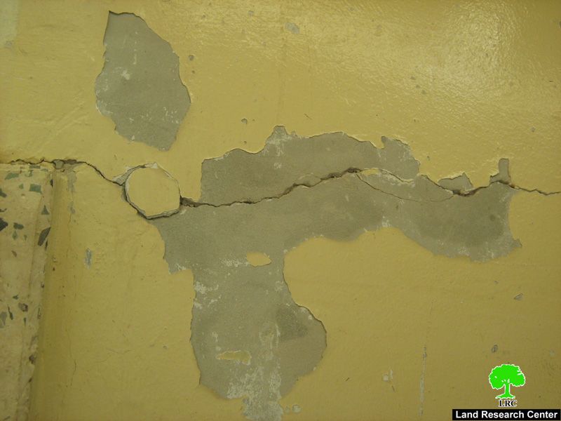
Photo 6: The house of Mr. Yaser Jawa’edeh – Note the cracks in the walls
Photo 7: The house of Mr. Mohammad Oudeh Jawa’edeh
Photo 8: Cracks in the house of Mr. Mahmoud Jawa’edeh due to the explosives used in the construction of the road
Photos 9 & 10: The broken windows in the house of Mr. Hatem Taha Jawa’edeh due to the explosives used in the construction of the colonial road.
Mr. Majed Hashish, the principal of Sikka Elementary School, indicated the following to LRC’s field researcher: ' Israeli occupation forces place explosives and dynamite in about 100 holes and detonate them all at once. This creates a scary mini- earthquake. They do that despite the fact that they have safer alternatives using bulldozers. They use the explosives to make the road leveled; in the high area the rocks get smashed while in the lower area bridges are being built to raise the level of the road as to make the road leveled. '
Photo 11: Sikka Elementary School which was damaged due to the
explosives used in construction of the colonial road.
Mr. Hashish continued: ' The latest explosion took place on March 19th, 2008. It was the second time that explosives were used to level the road. The detonation caused very loud noises and installed fear in the hearts of the residents of Sikka and the nearby communities. Cracks and other damages resulted in the school due to the explosions. One can see the cracks in the classrooms, the administration room in addition to the teachers’ rooms which were established in 2007 and 2008. That is in addition to the noises that accompany the diggings which take place only about 250 meters away from the school.
Photo 12 & 13: Cracks in Sikka Elementary School resulting from the
use of explosives in constructing the colonial road – Dura.
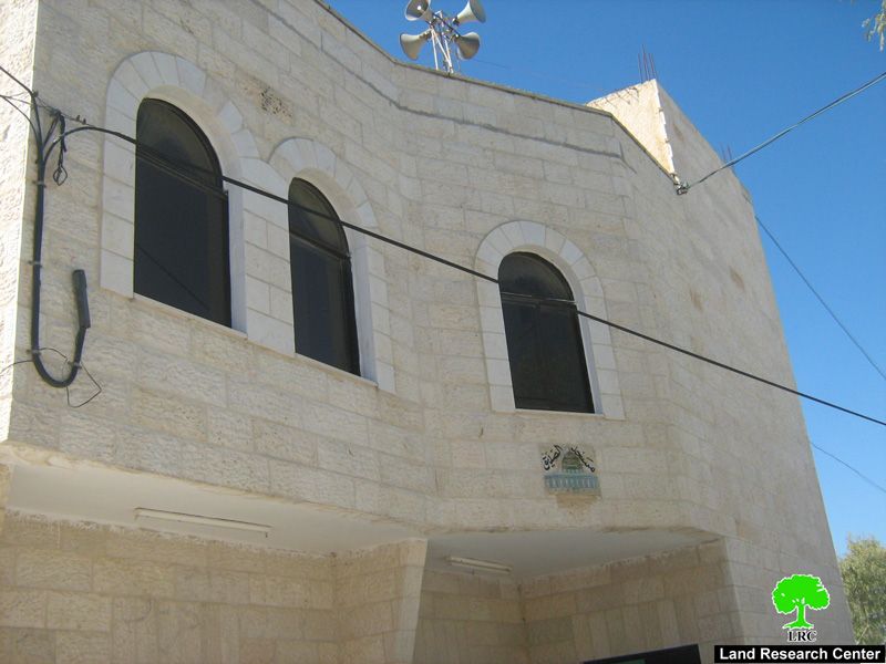
Al Siddiq Mosque was not spared damages:
Mr. Bassam Jawa’edeh, the Imam of the mosque, indicated the following: ' The explosions caused damages and cracks in all parts of the mosque. '
Photo 14: Al Siddiq Mosque in Sikka
Photo 15: The cracks in the Mosque.
Photo 16 & Photo 17: Construction works in the colonial road west of Sikka
Background of the Village of Sikka:
The village of Sikka is one of the Front Line Villages of the town of Dura. Its surface area is about 100 dunums in which 700 Palestinians live. The residents work in agriculture, the public sector as well as work inside of Israel. The affairs of the village are run by a village council. Only few services are present in the village including a co-ed school, a mosque and a women society. A water and phone networks are present in the village, however it has no electricity; the residents depend on electrical generators to meet their electrical needs.
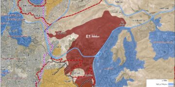
The village of Sikka is bounded in the north by the by-pass road leading to the colony of Neghohot while it is bounded in the south by the village of Al Majd. In the east, it is bounded by the colony of Neghohot and from the west it is bounded by the Israeli Racist Isolation Wall. See Map
Prepared by:
The Land Research Center
LRC


