On the 6th of March, 2008 Israeli soldiers stationed at the entrances of the Palestinian villages isolated beyond the Israeli Racist Wall (especially the village of Azzun Al Atma located west of the Governorate of Qalqilia) have carried out a series of belligerent acts against Palestinians. Moreover, the Israeli 'Defense' Minister imposed a full closure of the West Bank in addition to restricting the movement of Palestinians during their travel between the different governorates of the West Bank.
Azzun Al Atma and its Only Entrance:
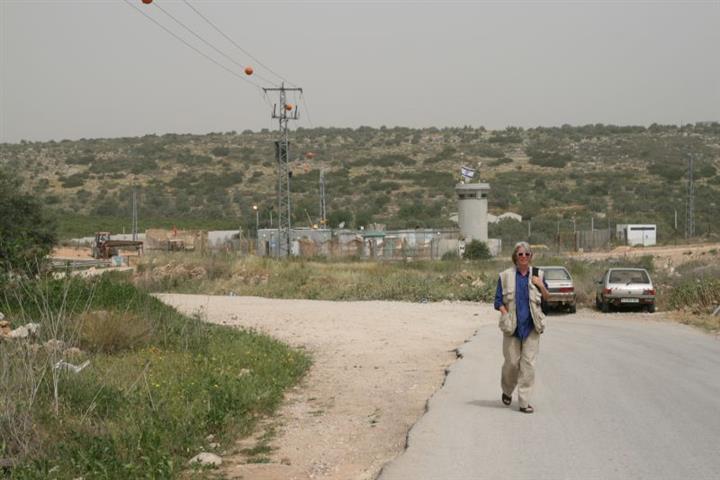
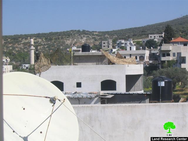
Israeli occupation is not satisfied by besieging the village of Azzun Al Atma from its four directions. Its soldiers carryout between now and then a harassment campaign against the residents of the village through closing down the only entrance of the village for long hours coupled with a campaign of searching all the cars and vehicles trying to enter or exist the village. The cargo of the vehicles is usually ordered to be unloaded, searched and then reloaded. This means that long hours would pass before vehicles would be allowed to cross the checkpoint. Moreover, physical attacks and beatings against Palestinians (especially university students) have been reported at this checkpoint. See Photo 1
(Photo 1: The southern entrance of Azzun Alatma
was closed by the Israeli Occupation Authority)
Mr. Amjad Omar (37 years old) indicated the following for the Land Research Center’s field worker: 'I work in food stuff trade. I loaded my truck with the needed cargo and made my way towards the village. However, soldiers at the checkpoint forced me to unload all of the cargo on the side of the street despite the fact that they know for certain that I do not carry any material that might form any threat to their security. When I asked the soldiers about the reason behind the delay, they beat me up which led to head and face injury in addition to bruises in different places of my body.'
The afore-mentioned incident was not the first time in which Israeli soldiers abuse Palestinians at the only entrance of Azzun Al Atma since its establishment in 2003. Frequent harassment and physical beatings at the checkpoint is almost a daily occurrence.
General Information about the Village:
The village is located 3 kilometers east of the Green Line. Its total area is 8081 dunums of which 800 dunums is a built-up area. Its population is 1750. About 80% of its workforce work in the agricultural field, 15% work as laborers inside Israeli proper while the remaining 5% work in commerce and other odd jobs.
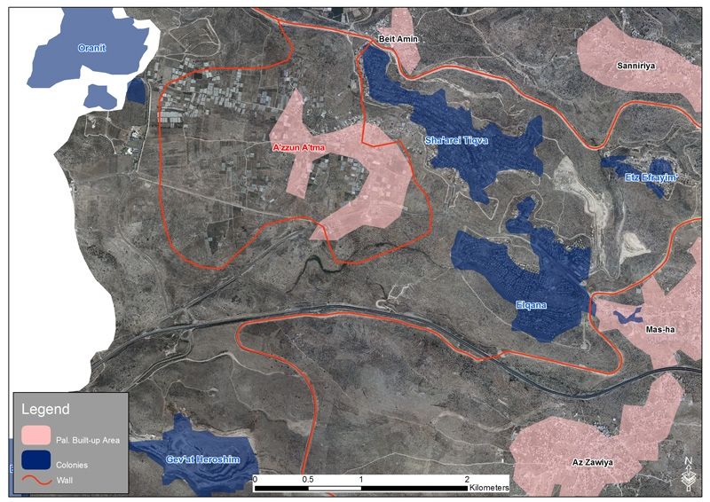
The village is surrounded from its eastern and northern directions by the colony Sha’are Tikva. Some of the colonial housing units almost touch the houses of the village. The only thing that separates between them is a metal fence. Since the establishment of the colony, more than 1500 dunums from the lands of the villages of Azzun Al Atma, Sinirya, Masha, Beit Amin and Al Zawiya (which used to be planted with olive and almond trees) were confiscated. Furthermore, the colony of Orient (established in 1983 on more than 2,000 dunums) surrounds the village from its western direction. These policies have led to the prevention of any further expansion of the village from the western, eastern and northern directions since the year 1981.
On October 2nd, 2002 Israeli occupation forces closed down the main entrance of the village which connected it with the old Trans-Samaria Road number 505. In so doing, the village was effectively isolated from both the West Bank and Israel as access to them via the main entrance of the village was virtually impossible. As such, Palestinian residents of Azzun Al Atama were forced to use alternative agricultural roads to reach nearby villages and the rest of the West Bank.
In 2002 Israeli occupation forces began the construction of the Israeli Racist Isolation Wall in the north of the West Bank. At the end of its first phase (covering the area between Salem in the north until it reached the town of Masha in the south) the residents of Azzun Al Atma found themselves engulfed inside the Wall and surrounded with metal fences and barbwires from all directions. At the end of December 2003, the checkpoint in the Wall located north of the village became operational and since then it became the main entry point into the village. Entry and exit to and out of the village became controlled by Israeli soldiers manning the checkpoint. The checkpoint opens at 6:00 AM and closes at 10:00 PM. Only residents of the village and those who hold valid permits are allowed to cross the checkpoint. Permits are issued by the Israeli DCL for Palestinians owing land inside Azzun in order for them to reach the land and work in it.
The Wall had negatively affected all aspects of life in Azzun Al Atma; coupled with Israeli military measure, the Wall has prevented tens of land owners and farmers from reaching their lands. It also prevented students from reaching their houses easily as well contributed to the social isolation of the residents of the village. All of that under the guise of “security.”
What ‘security” is that which prevents the people from their right to continue their life in a normal way? What 'security' is that which prevents children below the age of 16 (who do not have an ID due to age) from getting into village without being accompanied by their parents or without showing their birth certificate to prove that they live in the village? A large number of children below the age of 16 have reportedly been denied access to the village for more than an hour at a time until one of their parents or relatives would be able to show up to prove that the child does actually live in the village.
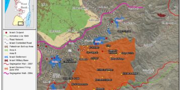
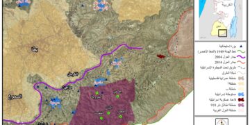
The Isolation Wall had brought Azzoun Al Atma misery, isolation, suffering and pain. After the checkpoint is closed down at 10:00 PM, residents of the village would not be able to get any medical emergency cases out of the village to the nearby hospitals. A number of babies were born at the checkpoint while their laboring mothers were waiting for the soldiers to grant them permission to cross the checkpoint. Life in Azzoun Al Atma is a nightmare due to the Wall and the continued siege. See Map 1 & Map 2
Prepared by:
The Land Research Center
LRC


