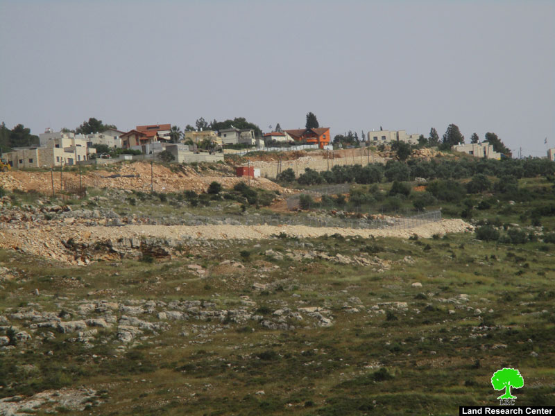
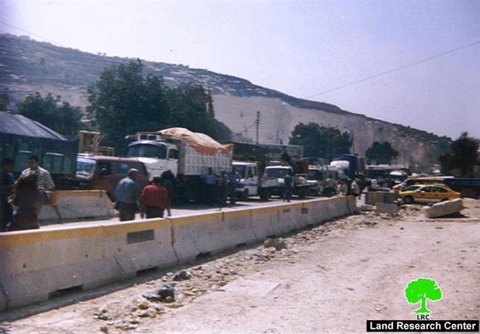
On February 20, 2005 the Israeli government approved a revised plan for the Segregation Wall in the West Bank. The new wall plan makes some small cosmetic changes in the route of the wall, but does not significantly alter the effects of the wall. The wall's themes of segregation, isolation and ghettoization continue, with drastic results for Palestinian communities in the West Bank and Gaza Strip.
According to the revised plan, the Segregation Wall will run for 645 km in the West Bank. When complete, the wall will isolate 565 km2 of Palestinian land in the West Bank (approximately 10% of the total area) in the Western Segregation Zone between the wall and the Green Line. Israel also maintains an Eastern Segregation Zone stretching over 1,555 km2 (27% of the West Bank) along the Jordan Valley and the western shores of the Dead Sea. In total, the Segregation Plan appropriates at least 37% of the West Bank.
Total Length of the Segregation Wall:
-
645 km in the West Bank.
-
102 km in the Gaza Strip.
Completed Sections of the Segregation Wall:
-
178 km (28% of the total length) in the West Bank.
-
Gaza Strip: 102 km.
-
182 km (28% of the total length) is under construction in the West Bank.
-
126 km (19.5% of the total length) runs on the Green Line
Palestinian Communities Affected by the Segregation Wall:
-
55 Palestinian communities, including more than 90,000 people, will be isolated in the Western Segregation Zone
-
42 Palestinian communities, including more than 42,000 people, will be isolated in the Eastern Segregation Zone.
-
172 Palestinian communities, including more than 550,000 people, will be adversely affected by the wall.
Environmental Resources Appropriated by the Segregation Wall:
-
30 wells and 32 springs will be isolated in the Western Segregation Zone. Many will be de-facto annexed to Israel.
-
13 wells and 8 springs are threatened with destruction by the construction of the wall.
-
173 km2 of Palestinian agricultural lands are isolated in the Western Segregation Zone.
-
96 km2 of Palestinian grazing lands are isolated in the Western Segregation Zone.
The Segregation Wall in the Gaza Strip:
-
72 km surround the Gaza Strip.
-
30 km surround illegal Israeli settlements, and adjacent Palestinian areas, inside the Gaza Strip.
-
51 km2 of Palestinian land, including a population of more than 9,000, is isolated by the wall in the Gaza Strip.
-
Since October 2000, Israel has demolished more than 2,000 Palestinian homes and bulldozed more than 45 km2 of Palestinian land in areas near the wall.
The Segregation Wall and Illegal Israeli Settlements
-
98 Israeli settlements (out of 209 settlements in the West Bank), with a combined population of approximately 375,000 settlers (83% of the 450.000 Israeli settlers population in the west Bank), are in the Western Segregation Zone.
-
Settlements in the Western Segregation Zone cover an area of 100 km2 (17% of the Zone).
-
43 Israeli settlements, with a combined population of approximately 10,500 settlers (2% of the settler population), are in the Eastern Segregation Zone.
-
Settlements in the Eastern Segregation Zone cover an area of 33 km2 (2% of the Zone).
-
19 of the 21 settlements in the Gaza Strip, with a population of around 8,000 settlers (95% of the settler population), are inside the Segregated Zones in the Gaza Strip.
-
Total number of illegal outposts 215 (erected between 1996 -2004).
Prepared by
The Applied Research Institute – Jerusalem
ARIJ


