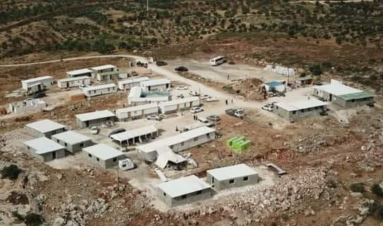
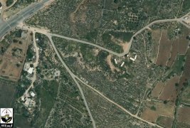
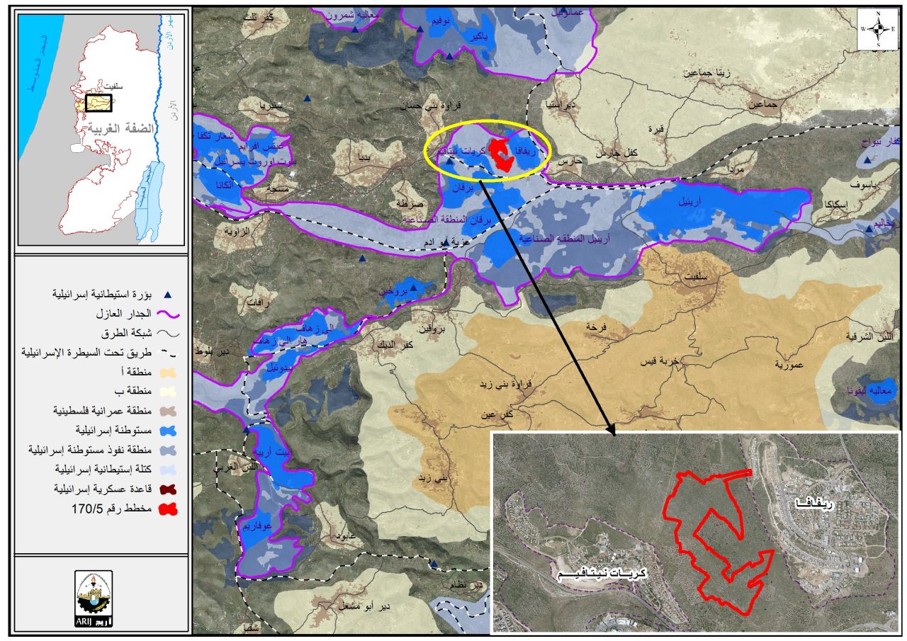
- Violation: Establishing a new outpost on a 20 dunums area.
- Location: Beita and Qablan / south Nablus city.
- Date: May 3rd 2021.
- Perpetrators: Colonists with the help of the Israeli occupation army.
- Victims: Palestinian families.
Description:
May 3rd 2021, Israeli Colonists protected by the Israeli Occupation Forces established a new illegal outpost in Jabal Sbaih . Reportedly , They sat up four mobile caravans on lands owned by farmers from Bita and Qablan south Nablus , at Jabal Sbaih location south Beita town nearby Samaria bypass road.
The targeted lands belong to a number of farmers from Beita: Maso’ud Farahat , Jamal Abu ‘Ayyash , Khader Khdair , Mohammed Khbaisa , he own 12 dunums were caravans were placed.
In addition to a number of farmers from Qablan town : Na’im Qassim , Yassir Taha , Hussam Badran , Sabah ‘Ayesh , ‘Abdulrahman Abdul Mun’em , and they own 8 dunums at the area where the caravans were placed.
Bita municipality head Musa Hamayel told LRC:
“The Occupation Forces helped at moving the caravans to Bita and gave a hand in the construction, as a result 48 colonial units were installed within a period of 45 days, and connected to water and electricity providers and a bus line.
During the past few years, colonists tried to build a colony several times through setting up caravans or tents, but every time they met a sharp reaction by people of the village.”
One of the affected, Maso’ud Farahat said: “Israeli troops and colonists started targeting this location in the 1984, the occupation forces ravaged the location and sat up a military watch point for Samaria bypass road. Noting that the road starts from Kafr Qassim town in the occupied territories and passes through several villages in Salfit and Nablus reaching the Jordan Valley, the troops in the watch point used to harass farmers and prohibit them from accessing their own lands, until 1995, the watch point was completely removed.”
About Beita:
14 km to the south of Nablus, Beita is founded with a total land area of 17622 dunums, of which 1711 dunums are classified as area “C”. Beita’s built-up area reaches up to 3693 dunums accommodating 10859 people according to the census of 2015.
About Qablan:
It is located 20km to the southeast of Nablus city. From the east, there is Bita , and from the west there are Yitma, al-Sawiya, and al-lubban el-Sharqia. Jourish, ousrin, and Aqraba are there from east where Telfit, Qutyot and Jaluod are there from the south.
The town has an area of 7130 people according to 2007 census, and an area of 10,456 dunums, 1,190 of them are the town’s built up area.
Bypass 505 devoured 396 dunums of the town’s lands.
Oslo agreement classified Qablan lands to :
- B area: 7,080 dunums.
- C area: 3,467 dunums.
Prepared by
The Land Research Center
LRC


