- Violation: closing a road and village entrance
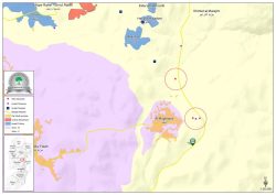
- Location: Al- Mughayyir village- Ramallah
- Date: May 25, 2017
- Perpetrators: Israeli Occupation Forces
- Victims: residents of the village
Details:
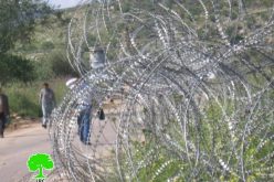
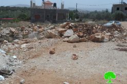
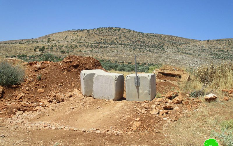
On May 25, 2017, Israeli Occupation Forces closed an agricultural road to the northeast of AL-Mughayyir village in Ramallah through road blocks. Noteworthy, the road is a passageway for villagers to access their 200 dunums fields and groves. Closing the road will increase the burden on farmers in terms of movement and longer distances.
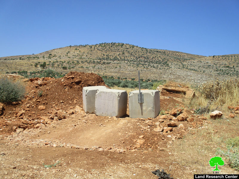
Photo 1: the closed road via cement blocks
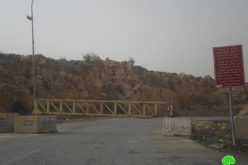
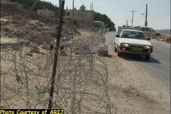
In addition, Israeli Occupation Forces set up a metal gate at the eastern main entrance of Al- Mughayyir village and controlled entry and exit to and from the village.
It should be noted that the closed entrance is the village's linking point with neighboring villages and towns. Closing the road will force commuters to take more lengthy routes that are more expensive and fatiguing to reach their daily destinations.
Noteworthy, the closed entrance is considered one of the roads closed in the aftermath of AL-Aqsa uprising of 2000. Closures lasted until end of 2012.
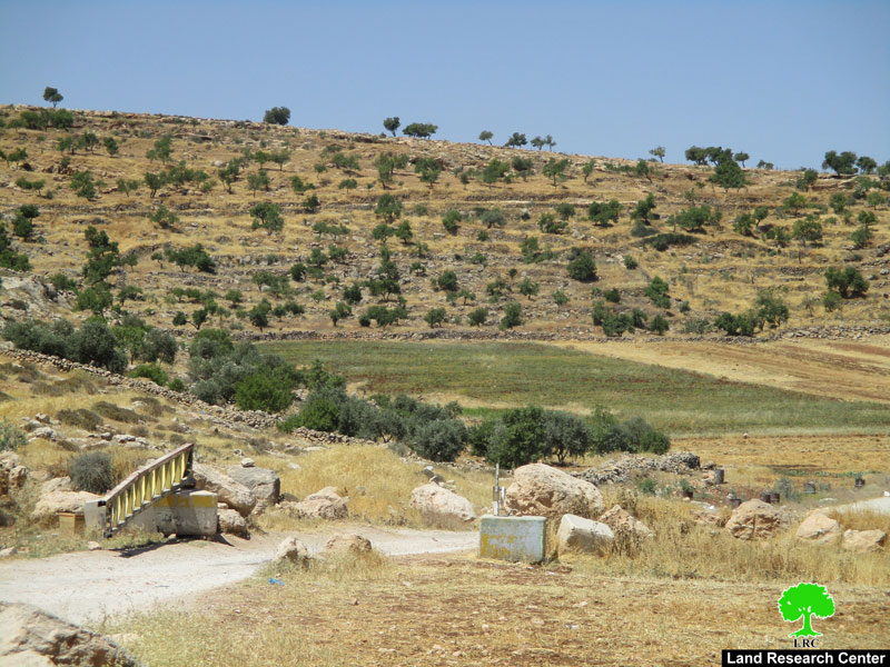
Photo 2: Al-Mughayyir entrance closed via metal gate
Al Mughayyir, an overview:
Al Mughayyir is located 30 km to the north east of Ramallah; it is inhabited by around 2900 people according to the PBS statistics conducted in 2010.
Most of the village agricultural fields are located in its eastern parts; its total area before the Israeli conquest of the West Bank was 33,055 dunums, 501 dunums of which are considered built-up area.
However, the Israelis announced most of the Jordan Valley region into a military zone excluding more than 27556 dunums from the village total area.
The Israeli occupation confiscated 37 dunums from the village to open the bypass road number 458.
According to Oslo Accords, the village lands are classified as follows:
- 1695 dunums are considered area B
- 31360 dunums are considered area C
Prepared by
The Land Research Center
LRC